47: Terra Incognita

WhenSeptember 5, 2025
Distance57.9 mi
Time11h 14m
Elevation Gain7523 ft
Elevation Loss9652 ft
Avg Speed6.7 mph

Download GPX

47: Terra Incognita

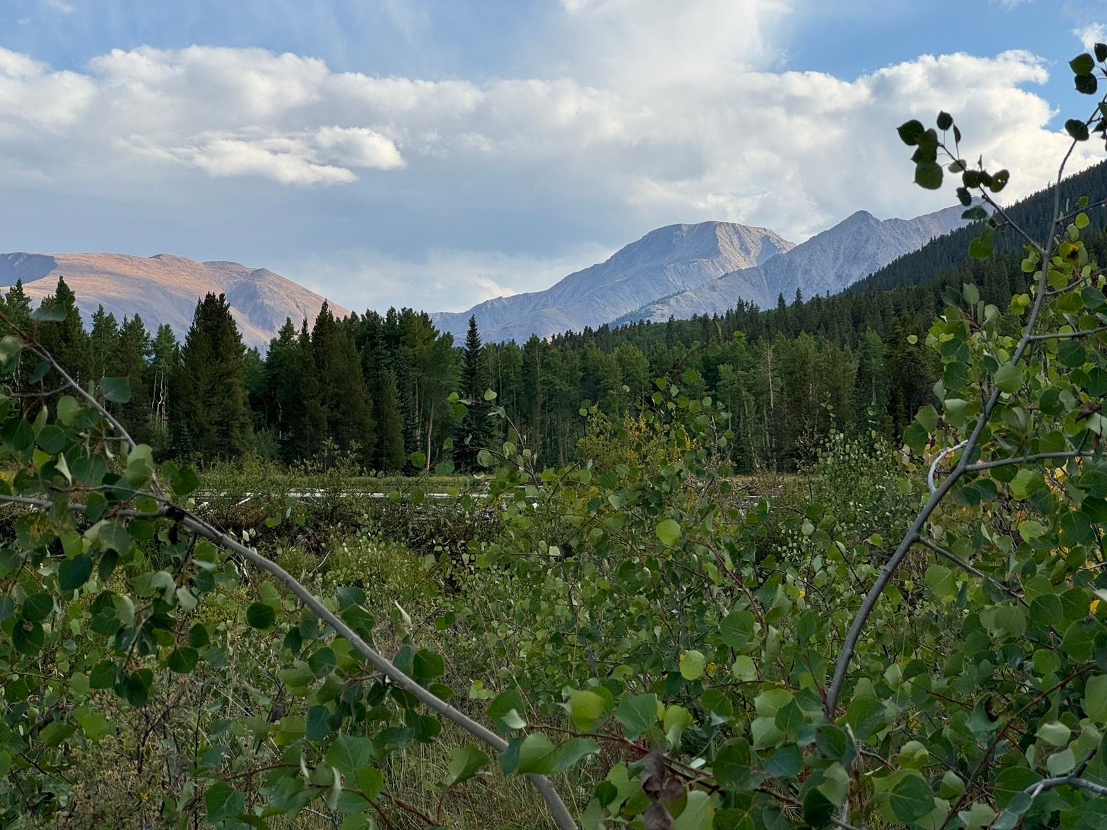
This route to date has tied together into a continuous strand the Wyoming of my childhood, the Colorado of my mid-20s, and the Montana of my 30s. These landscapes are now woven together with a thread that binds together eras of my life and many different disciplines of engaging lustily with landscapes and mountains that has constituted my adolescent and adult lifetime.

That history and experience is strewn across the last 2,000 miles—and is abruptly ending.

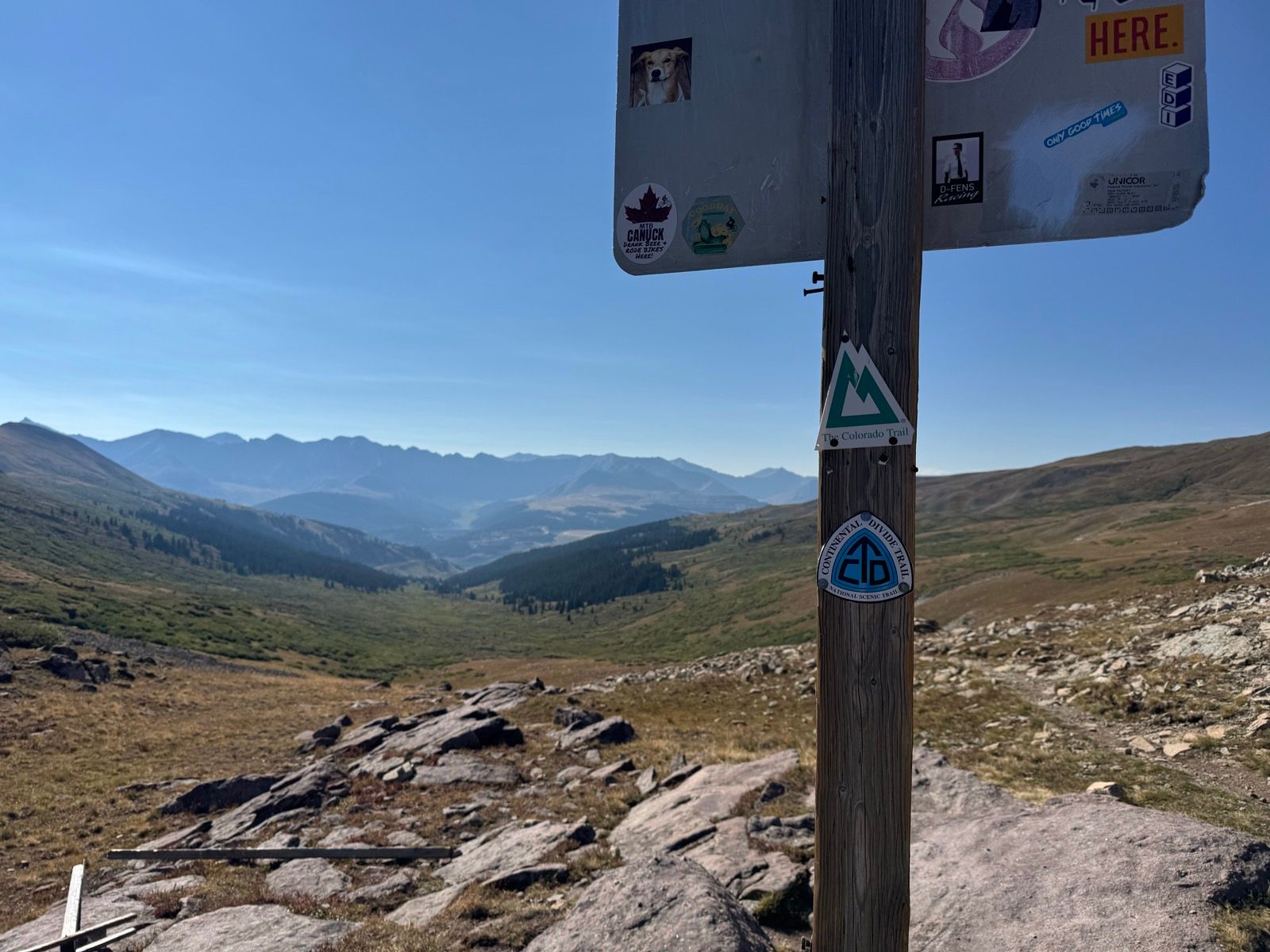
From this point forward, I am now entering upon a terra incognita—landscapes and places largely unfamiliar and unknown to me. Places with names like La Garita, Weminuche, Chama, Abiquiu.

I’m looking forward to transitioning from linking the familiar to experience new places!

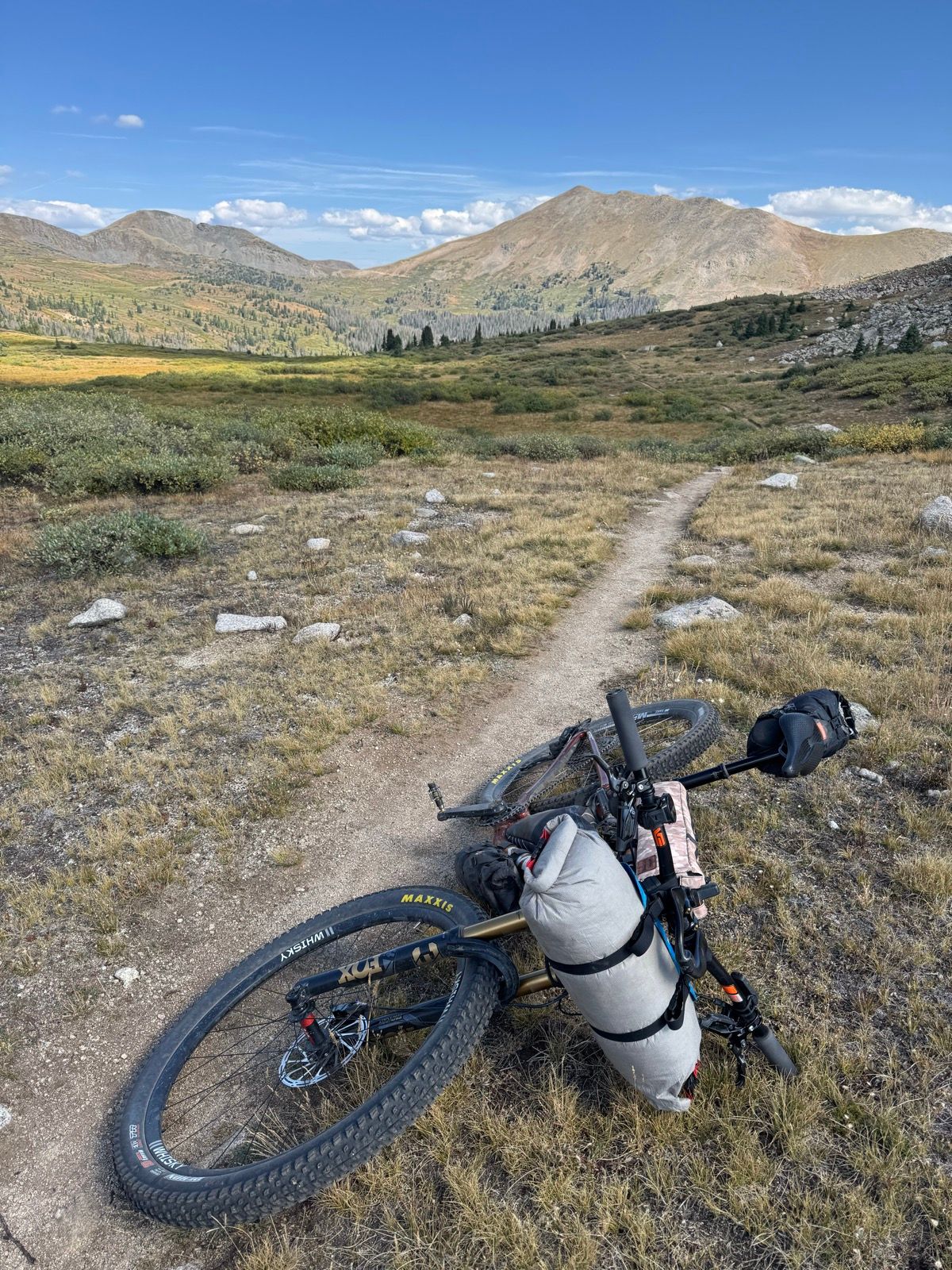
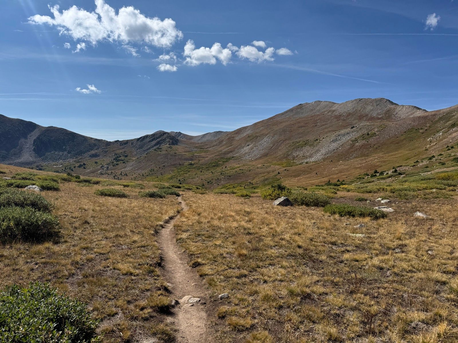
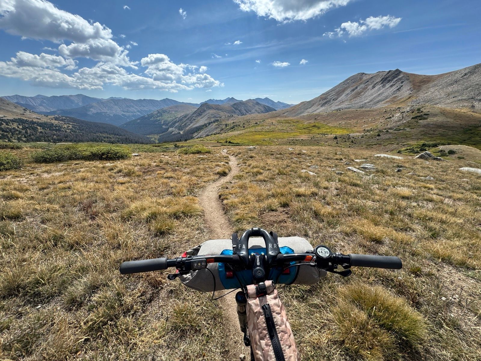
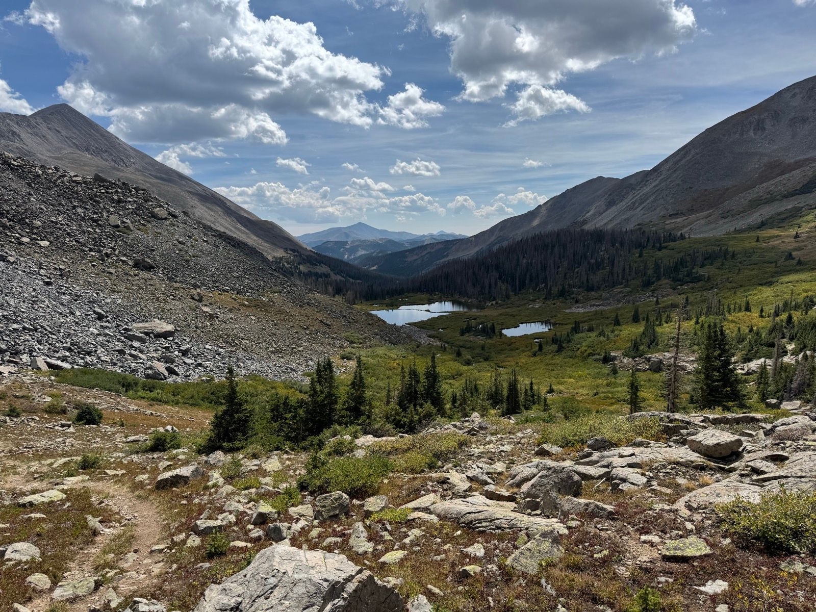
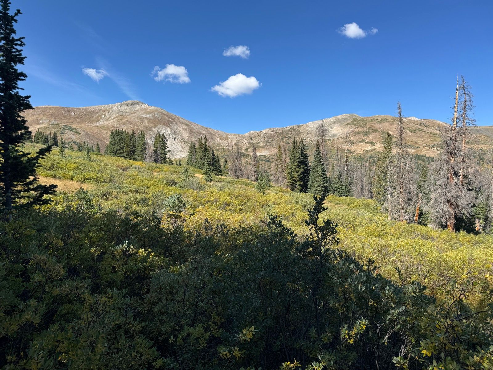
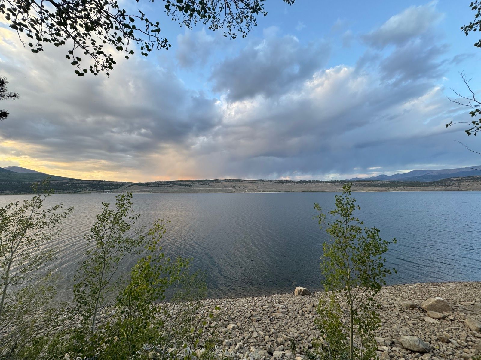
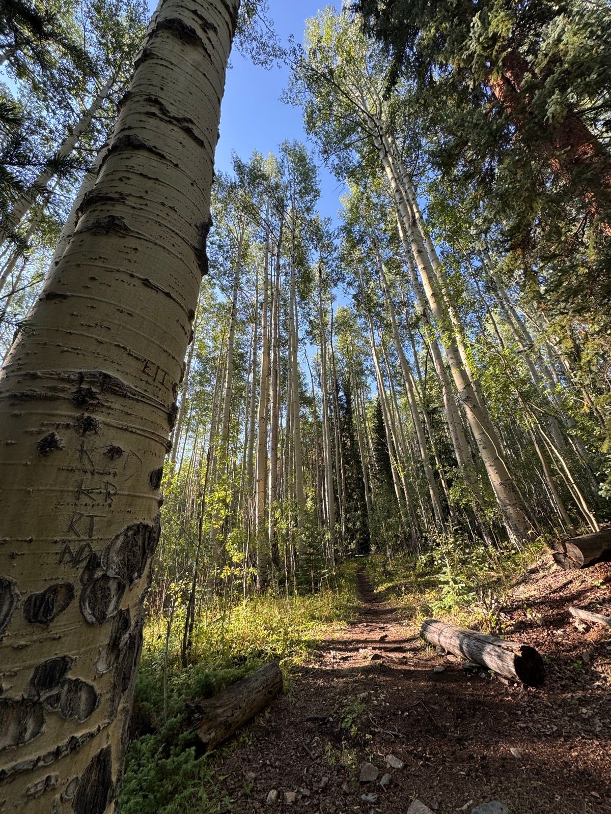
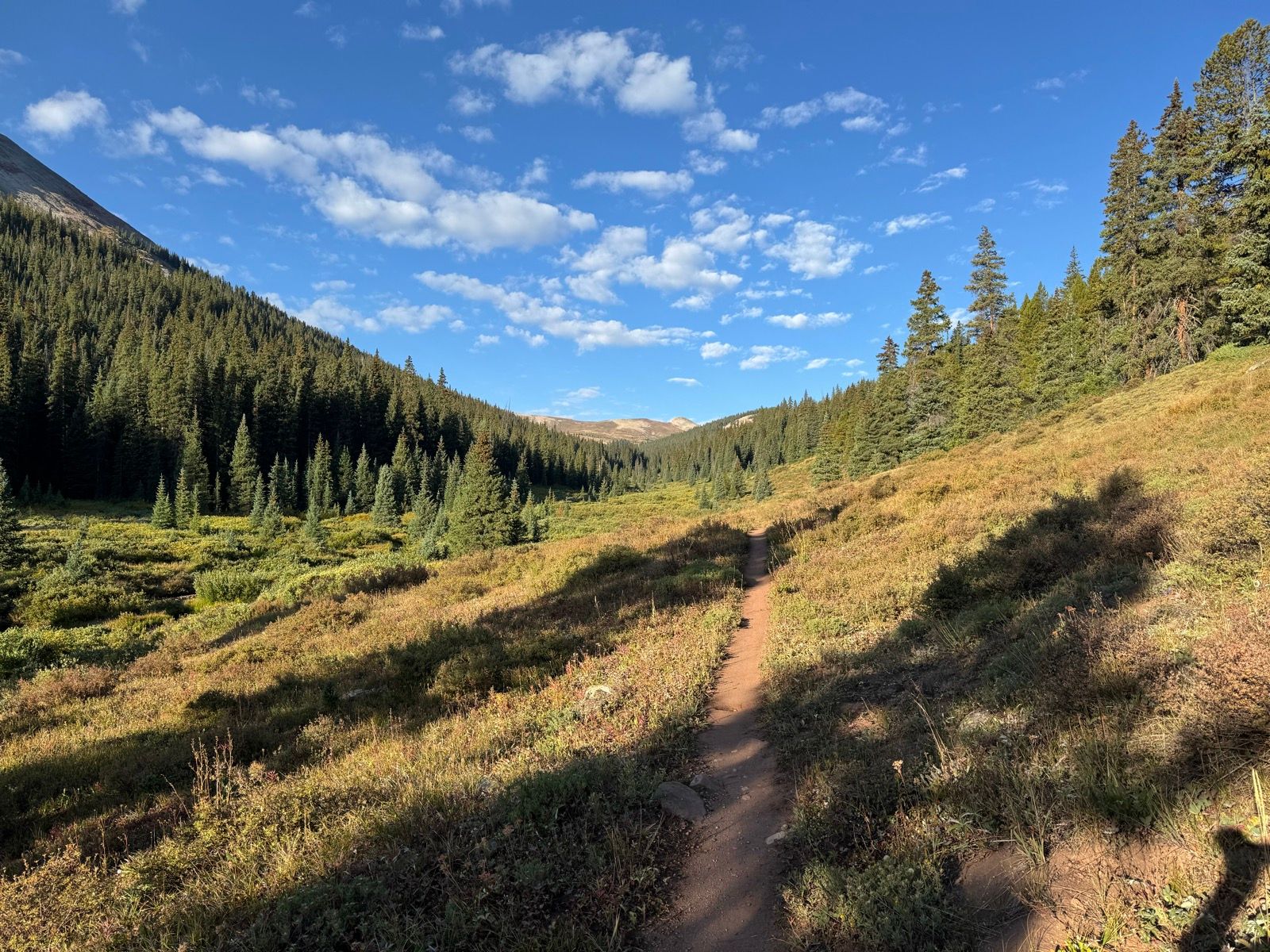
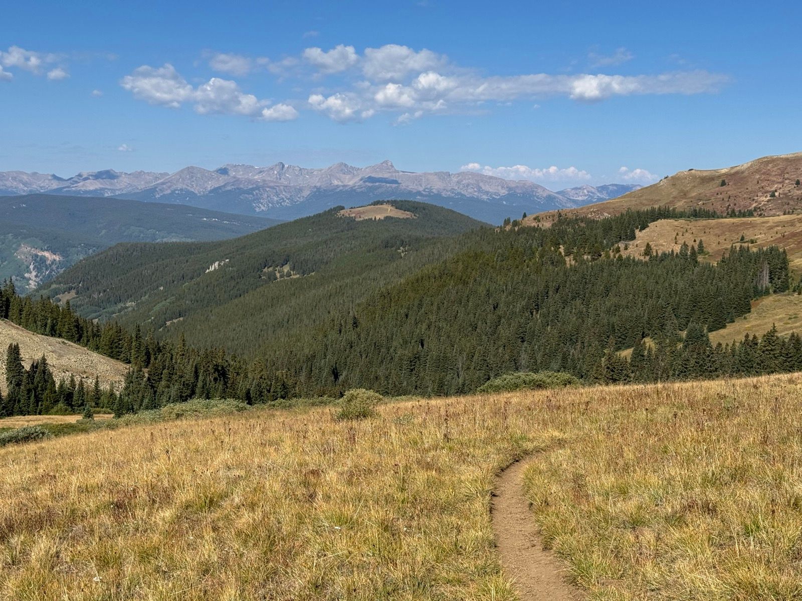
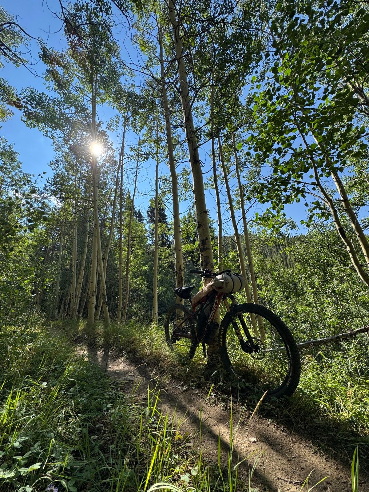
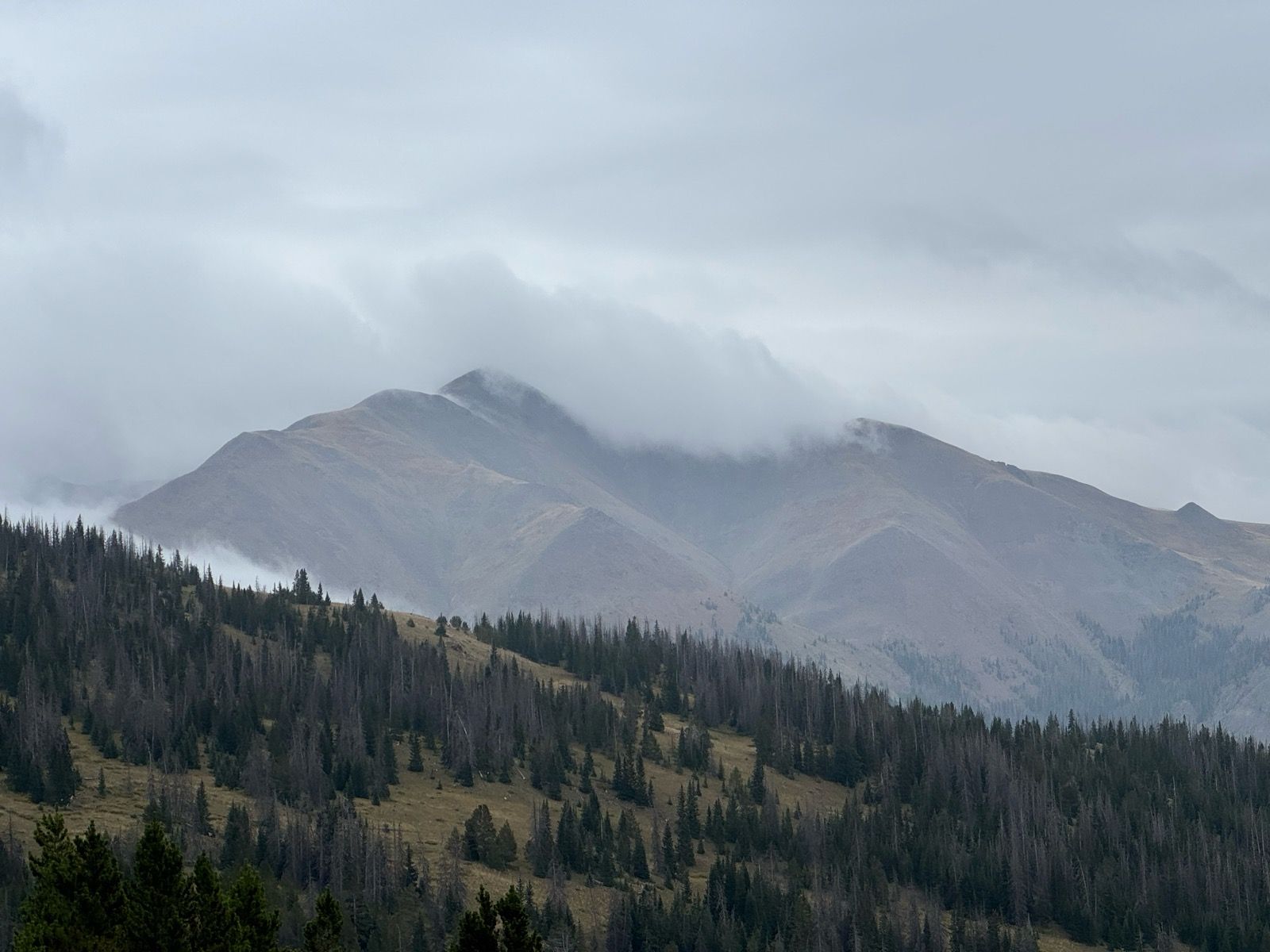
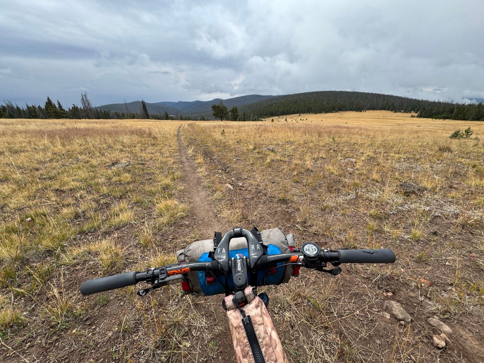
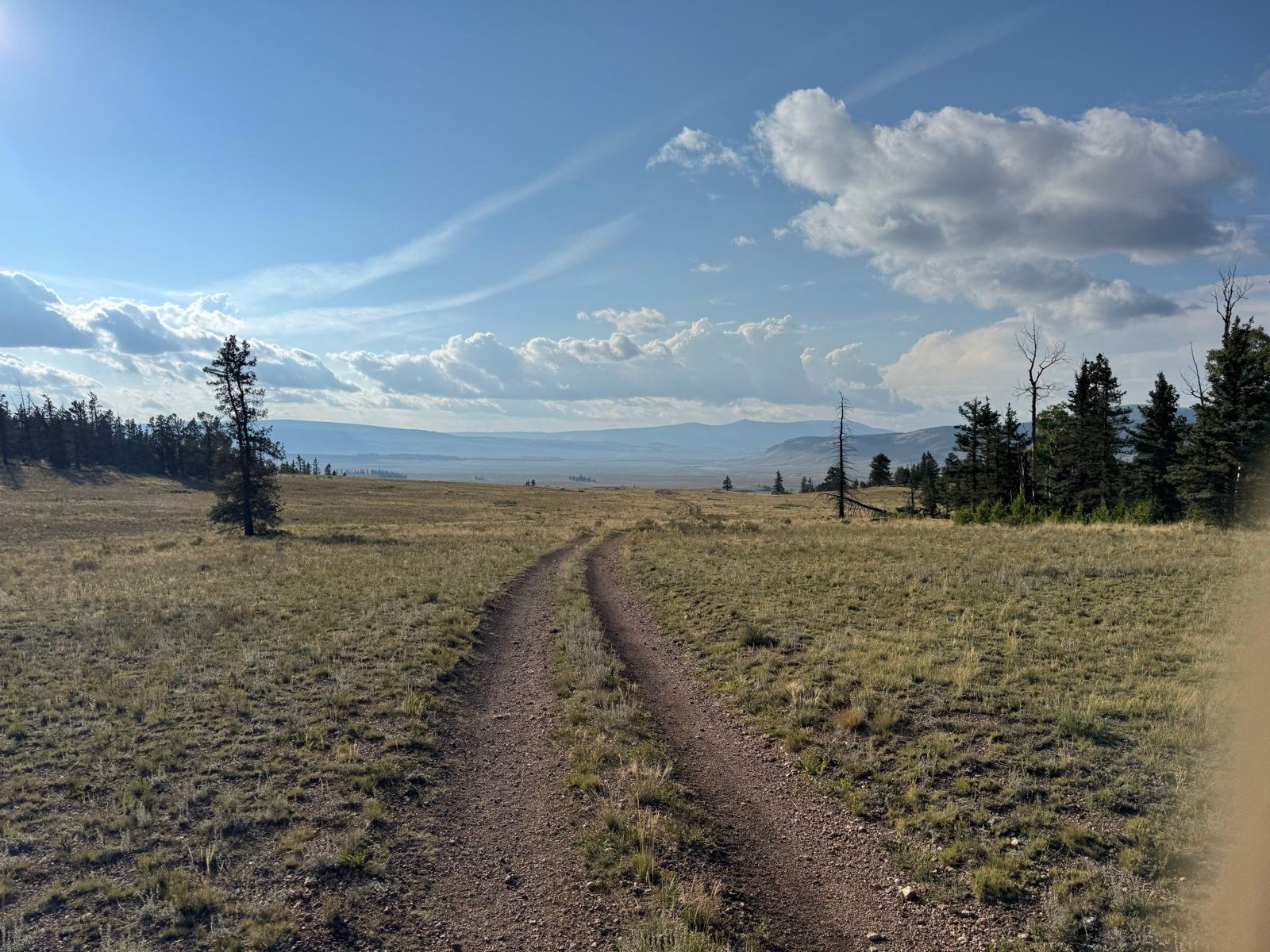
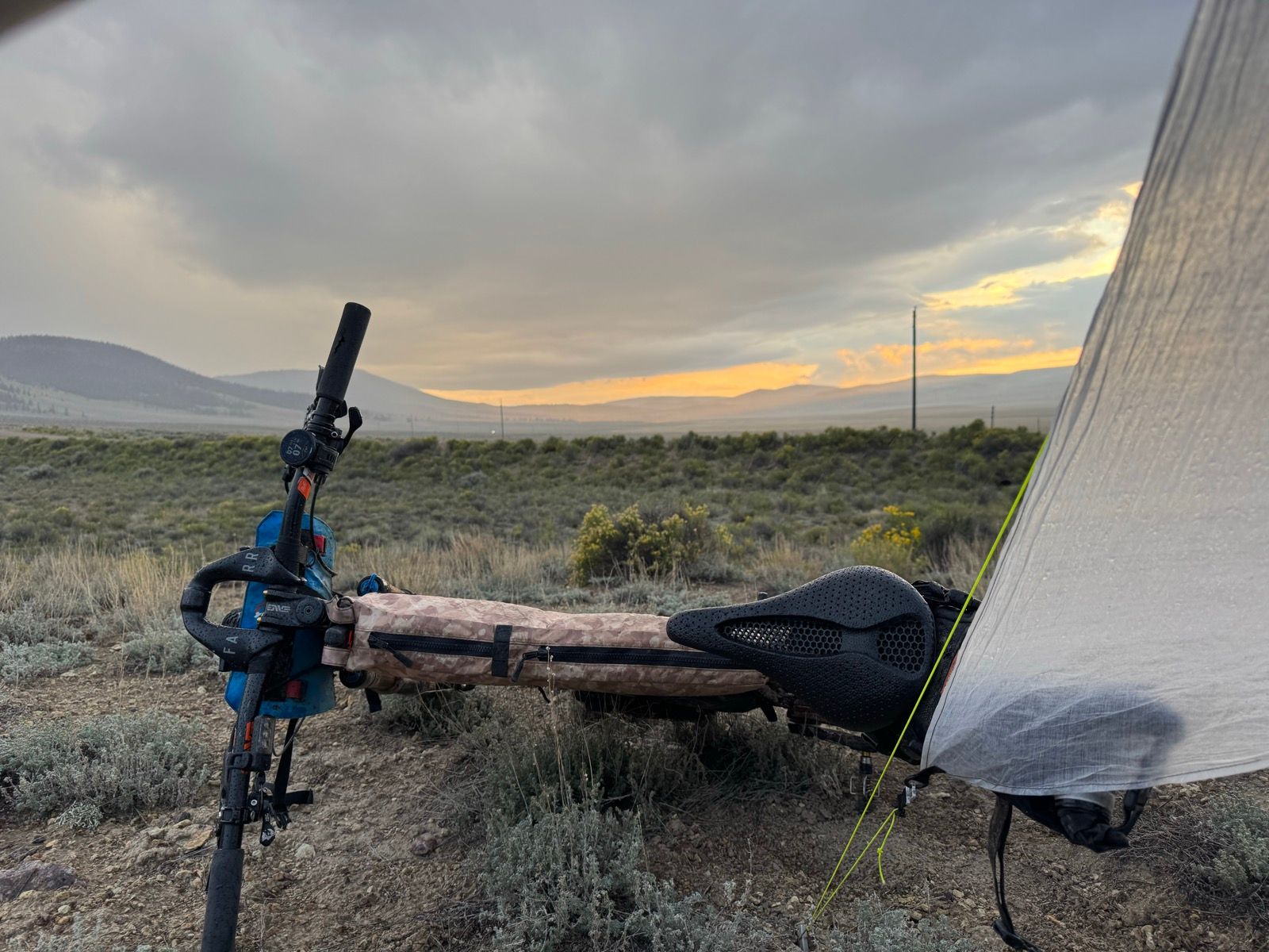
All but the last two hours of today’s riding was on pleasant single track—fairly efficient if not particularly inspiring in the rain and heavy mist.

When I laid out my route originally, I planned to skip the last ~35 mile segment where the Colorado Trail and CDT overlap to avoid having to double back those miles (the CDT makes a western-jutting semicircle at the San Juans, mostly ringed by wilderness areas where bikes are prohibited). Given that I’m ahead of schedule and my current pace would land me in South Fork for my next resupply on a Sunday when the post office is closed, I may add some miles tomorrow and ride some portion of that western stretch.

Listening to: Running with Sherman by Christopher McDougall

View on Strava

46: Monarch

WhenSeptember 4, 2025
Distance46.7 mi
Time11h 49m
Elevation Gain8957 ft
Elevation Loss6850 ft
Avg Speed5.3 mph

Download GPX

46: Monarch

A hiker asked me yesterday, why bike the CDT? I guess the answer is simple: 1) mountain biking is fun; and, 2) the CDT goes really pretty places. (Oh, and I guess—not something I would necessarily tell an inquiring stranger on the trail, but the fact that only a few people have done so. Getting to do something somewhat original is a huge part of the appeal.)

Morning was glorious—easy climbing into the alpine on efficient road and newly constructed trail.

Afternoon was hard—lots of hike-a-bike!

I took my first real crash of the trip today, pitching myself ass-over-teacups into a scree field. Fortunately, nothing is damaged that won’t heal or can’t be readily repaired with needle and thread. (I *did* put on my rain gear before sleeping to keep from bloodying my quilt…)

Overall, a nice mix of inspiring and challenging. Getting to finish the last ten miles on ridable trail today helped end things on a positive note.

View on Strava

45: Mt. Princeton and its Hotsprings

WhenSeptember 3, 2025
Distance22.6 mi
Time5h 19m
Elevation Gain3343 ft
Elevation Loss2218 ft
Avg Speed7.7 mph

Download GPX

45: Mt. Princeton and its Hotsprings

Wow, what a lovely afternoon. After the quick and efficient pedal into Buena Vista this morning, I picked up my resupply and stopped by Black Burro Bikes for some new brake pads (yup!) and a little derailer TLC. While the bike was getting some love, I treated myself to a Beyond Burger and beer at Eddyline, then a mighty good cup of coffee and a pecan pie snack at the coffee shop next door. With my bike in good shape for the next thousand miles (not sure I’ll pass another bike shop between here and the end), I celebrated with an affogato, then pedaled three hours to Princeton Hot Springs. After a luxurious soak in their stream side pools, I pedaled another hour uphill to a lovely campground where I found level, flat ground for my tent and a pile of wood ready for the fire I’m now enjoying. Life is good!

The Colorado Trail (CoT) continues to serve up delightful and very ridable miles. Tomorrow I’ll leave the CoT to rejoin the CDT for a high elevation stretch to Monarch Pass, where the two trails rejoin.

View on Strava

44/45: Arkansas Valley

WhenSeptember 2, 2025
Distance48.6 mi
Time18h 43m
Elevation Gain3773 ft
Elevation Loss5312 ft
Avg Speed9.3 mph

Download GPX

44/45: Arkansas Valley

My Garmin watch annoying ended yesterday’s activity prematurely, so the last half of yesterday and first half of today are their own separate activity.

The trail traversing along Mount Elbert was so fun I definitely scared myself a bit, ripping along far faster than I typically allow myself (I’ve come too far at this point to end my trip in a hospital instead of at the southern border). The aspen groves were an absolute delight—strikingly tall in some places, and with turning leaves in others.

I settled into a lovely campsite overlooking Twin Lakes and made good time into Buena Vista to resupply and get some fresh brake pads. It’s been nice having regular access to civilization for the last 10 days or so. From this point south, civilization touch points are going to become fewer, further between, and smaller, with increasingly remote stretches in between.

View on Strava

44: Me and the Marmots

WhenSeptember 2, 2025
Distance39.0 mi
Time7h 34m
Elevation Gain5039 ft
Elevation Loss5459 ft
Avg Speed7.5 mph

Download GPX

44: Me and the Marmots

The 15-mile Searle Pass segment is almost certainly the best thing I’ve ridden since Canada. The climb up is very rideable, pleasant, and scenic, providing relatively quick and easy access into the alpine (reminiscent of the gentle climbs up the broad glacial valleys of Alaska’s Kenai Peninsula). The alpine section offered epic views in every direction and had lots of friendly marmots. The downhill consisted of long sections of fast, smooth single track, punctuated with lovely aspen groves and the occasional spicy rock garden. It’s sunny and warm, and the trail is just a bit tacky still from the recent rains. Overall 10/10 mountain biking!

I passed a crew of AmeriCorps volunteers on the way down, who were pruning back trees and fixing eroded sections of the trail. It both breaks my heart (as an AmeriCorps alum) and greatly worries me (as a trail user who appreciates tree-free, not-eroded trails) that the current federal administration has chosen to defund much of AmeriCorps. It seems, increasingly, that if, as users of public lands, if we want well maintained trails, it’s going to be almost entirely on us to maintain them.

I’ll admit: being on the Colorado Trail (CoT), it feels nice as a bikepacker to be a primary user. It’s somehow nice to see other tire tracks on the trail, and for hikers on the trail to have some conception of what I’m doing with by bike loaded with bags. It’s also quite nice being on trails that get ridden a fair bit—not just that the trails have more flow, but also all the visual indicators of the optimal line for bikes. Aside from the gnarly Gold Mine trail over the Tenmile range, the CoT has been very well maintained, ridable, and fun—in keeping with my expectations!

While stopped off at the top of Searle Pass, a marmot, lazily lounging in the sun, partly raised itself, looked around, yawned (yup, I saw a marmot yawn today) and flopped back down. Cutest thing I’ve seen all trip!

View on Strava