Up at first light. On the trail by 6:30 AM. I found myself delighted by how much easier and more pleasant it is riding in the early cool.
Fortunately the cooler weather persisted all day with consistent cloud cover. Generally firm surfaces and negligible climbing made for a day of quick, pleasant travel to Rawlins to grab my next resupply box.
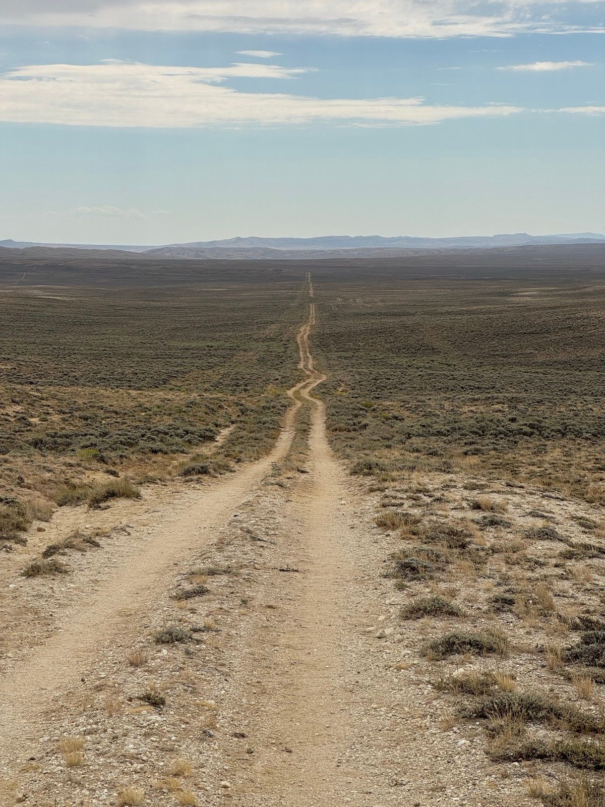
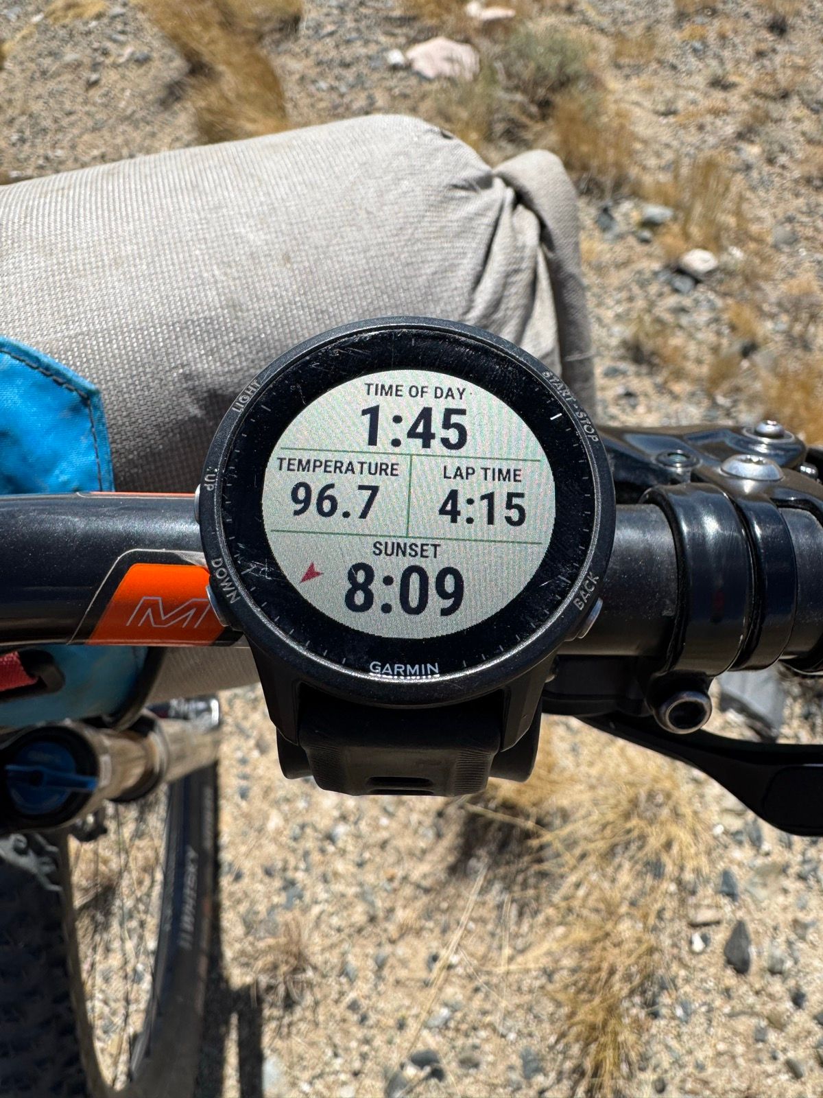
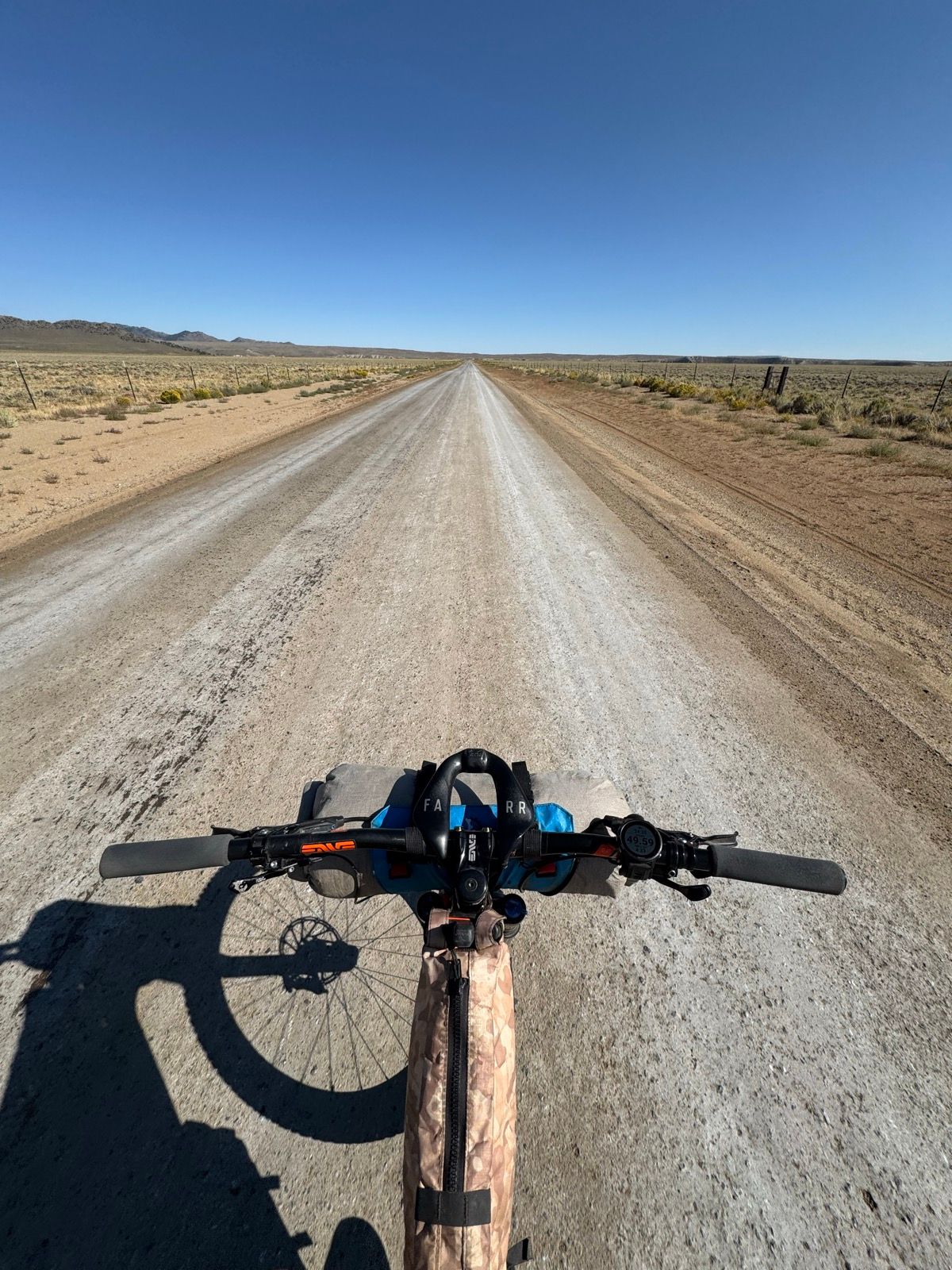
I’m grateful to traveling by bike, having crossed the Great Basin in approximately 24 hours, as opposed to 4 – 5 days typical for host hikers.
Listening to: The Replacements – Let it Be; Nirvana – MTV Unplugged; Radiohead- Hail to the Thief Live Recordings (2003 – 2009)
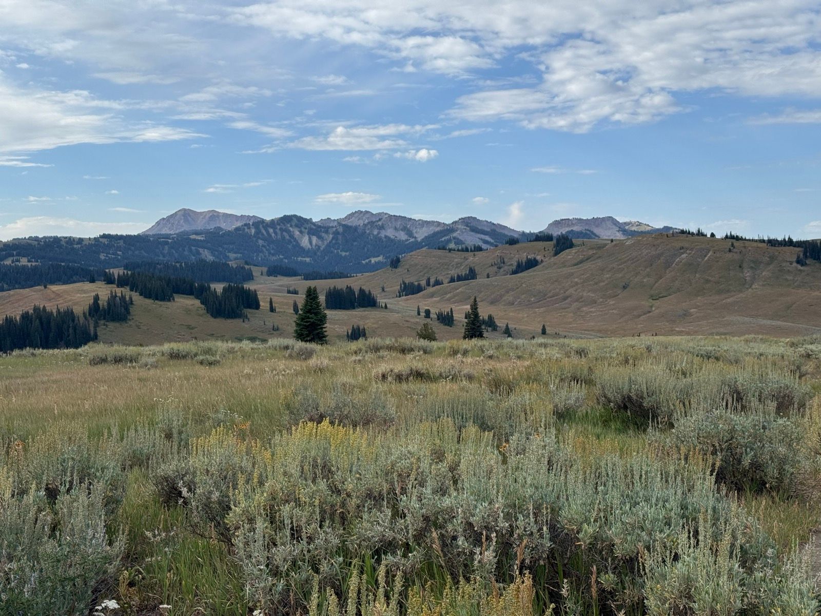
I left the Sweetwater campground early and enjoyed some very pleasant riding across the southern tip of the Wind River Range, which reminded me of nothing so much as being back in the Vedauwoo area in the mountains west of Cheyenne where I grew up.
I arrived in South Pass City a little before noon, and enjoyed the state park’s shade, Wi-Fi, and a few sodas from their gift store. Chain lubed and sodas consumed, I willed myself back into the sun and baking heat. Temps remained in the 90’s through the rest of the day under an unrelenting sun on a landscape denude of any shade. Having learned my lesson from the Grand Loop Race (you can’t really wait out the heat… just dial back the intensity and keep rolling), I spent the rest of the day slowly grinding.
Having seen relatively few hikers on the CDT so far, I seem to have finally caught the main group of southbound hikers. Reactions to my presence on the trail have varied, from indifference to curiosity to confusion that I am not on the Great Divide route. I have so far encountered zero equestrian users on the CDT itself, and wonder if/when bicycles will be a more common means than horses for the route.
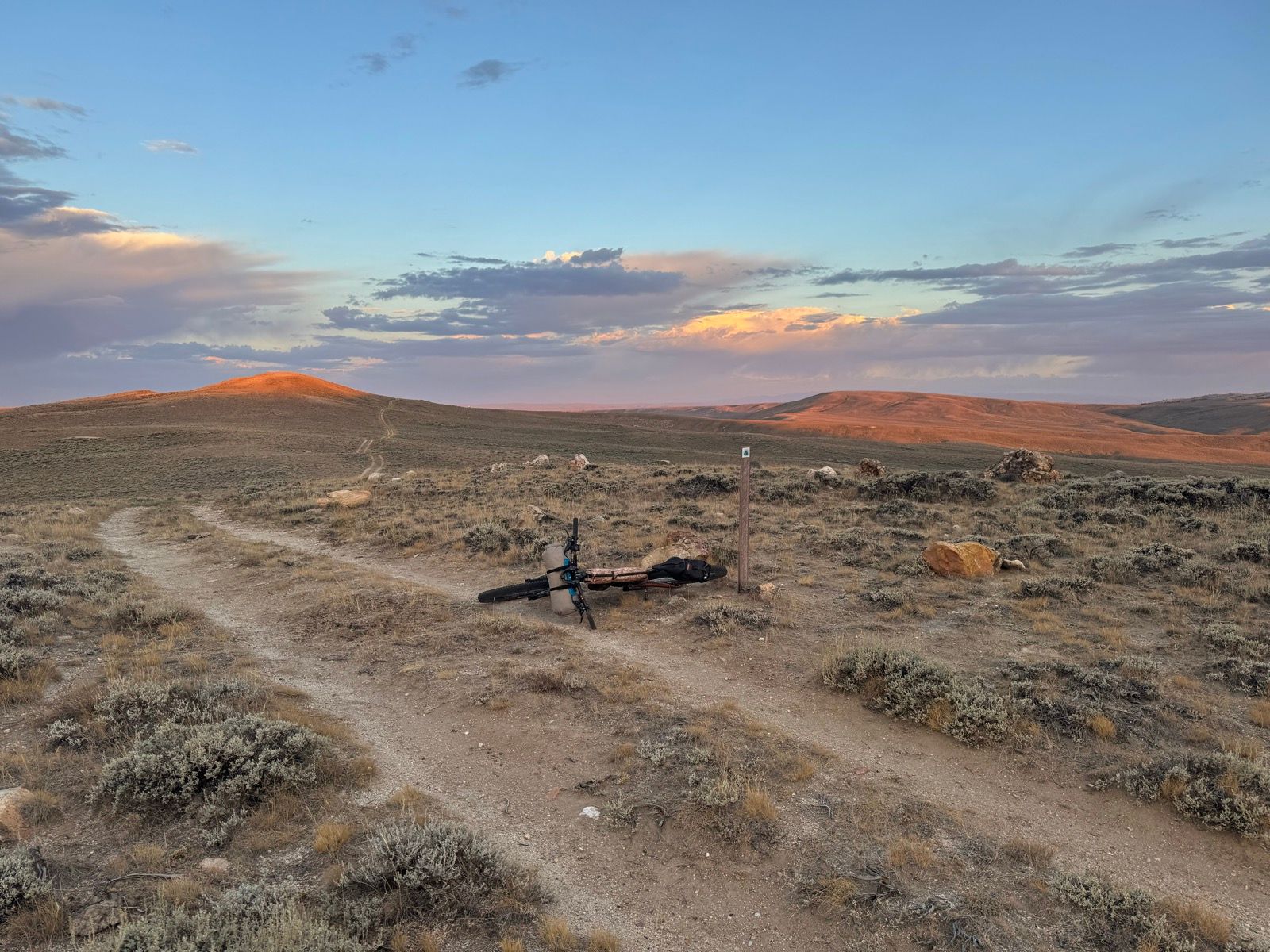
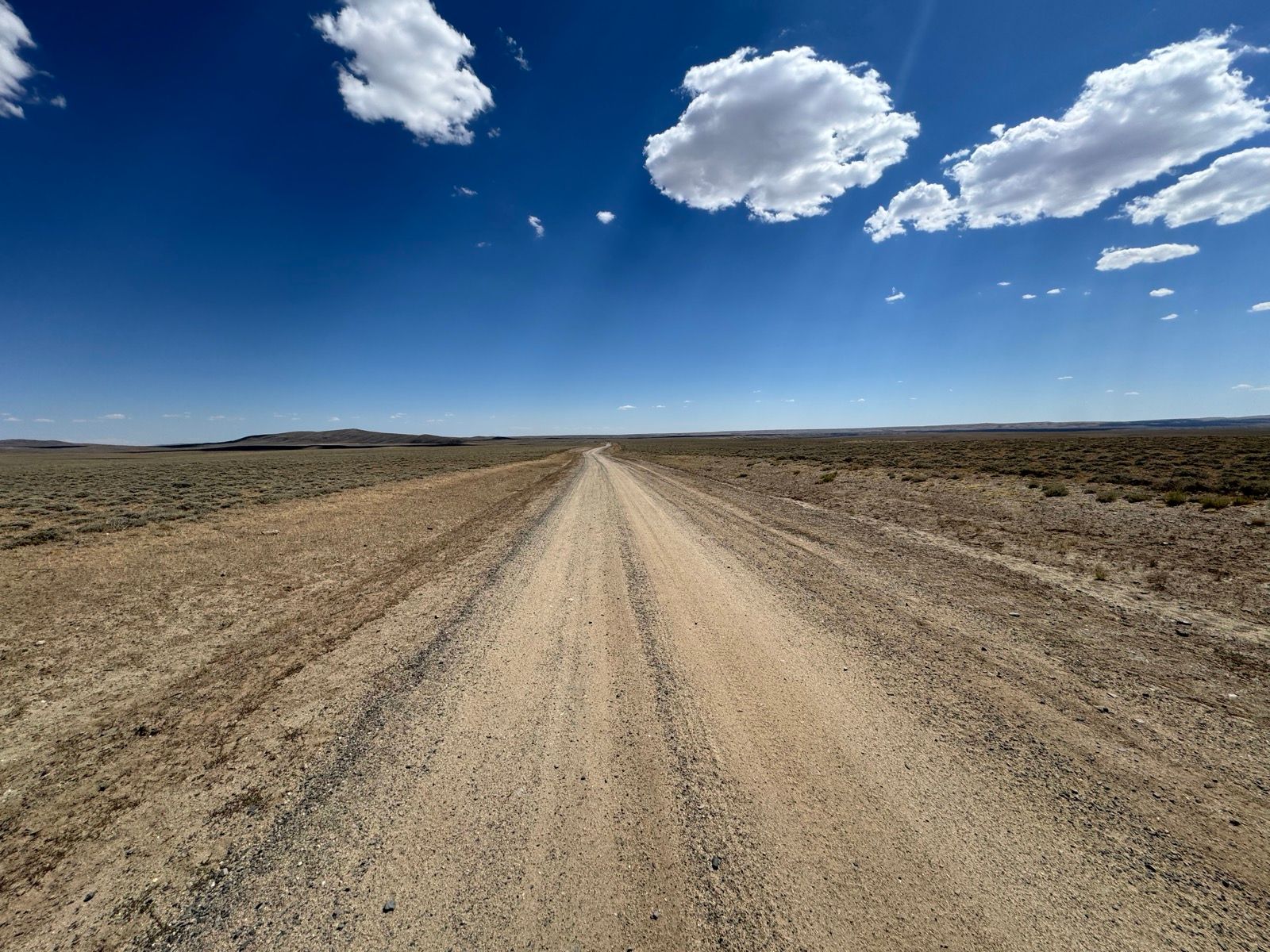
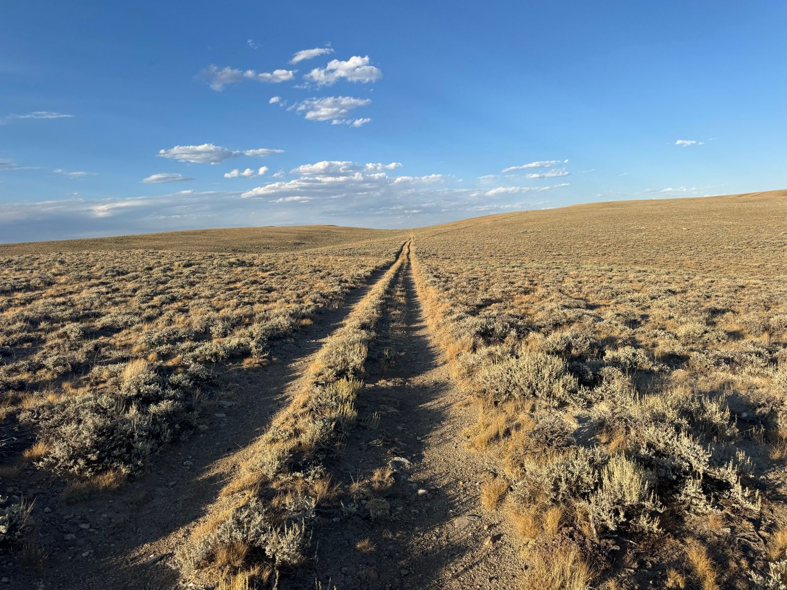
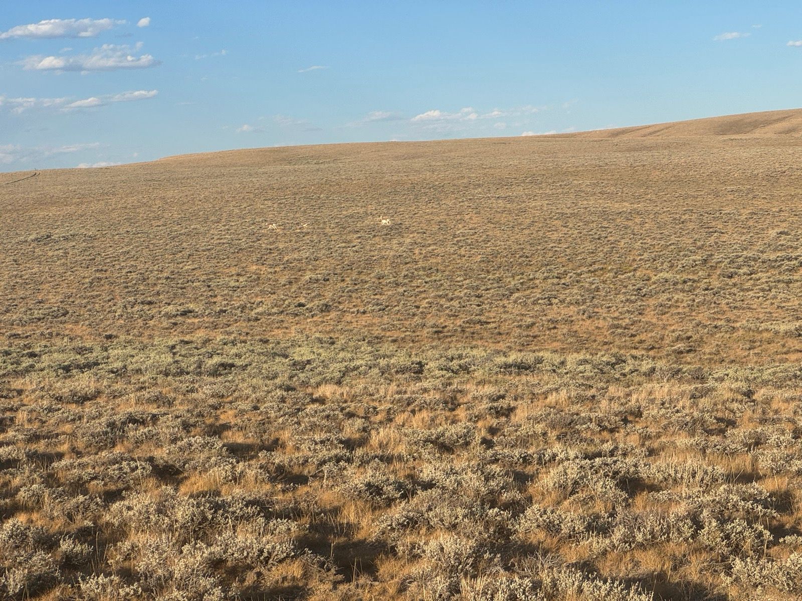
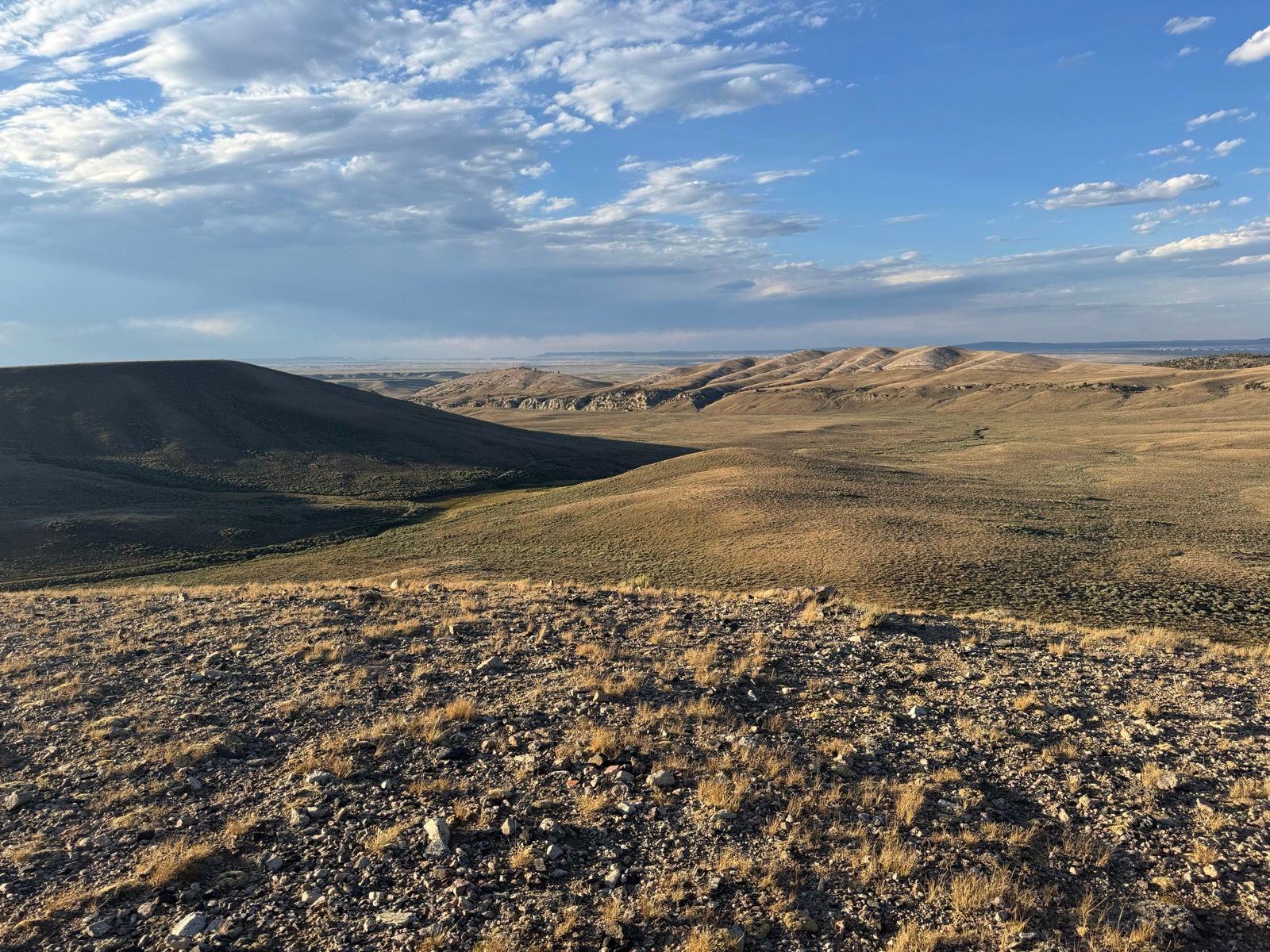
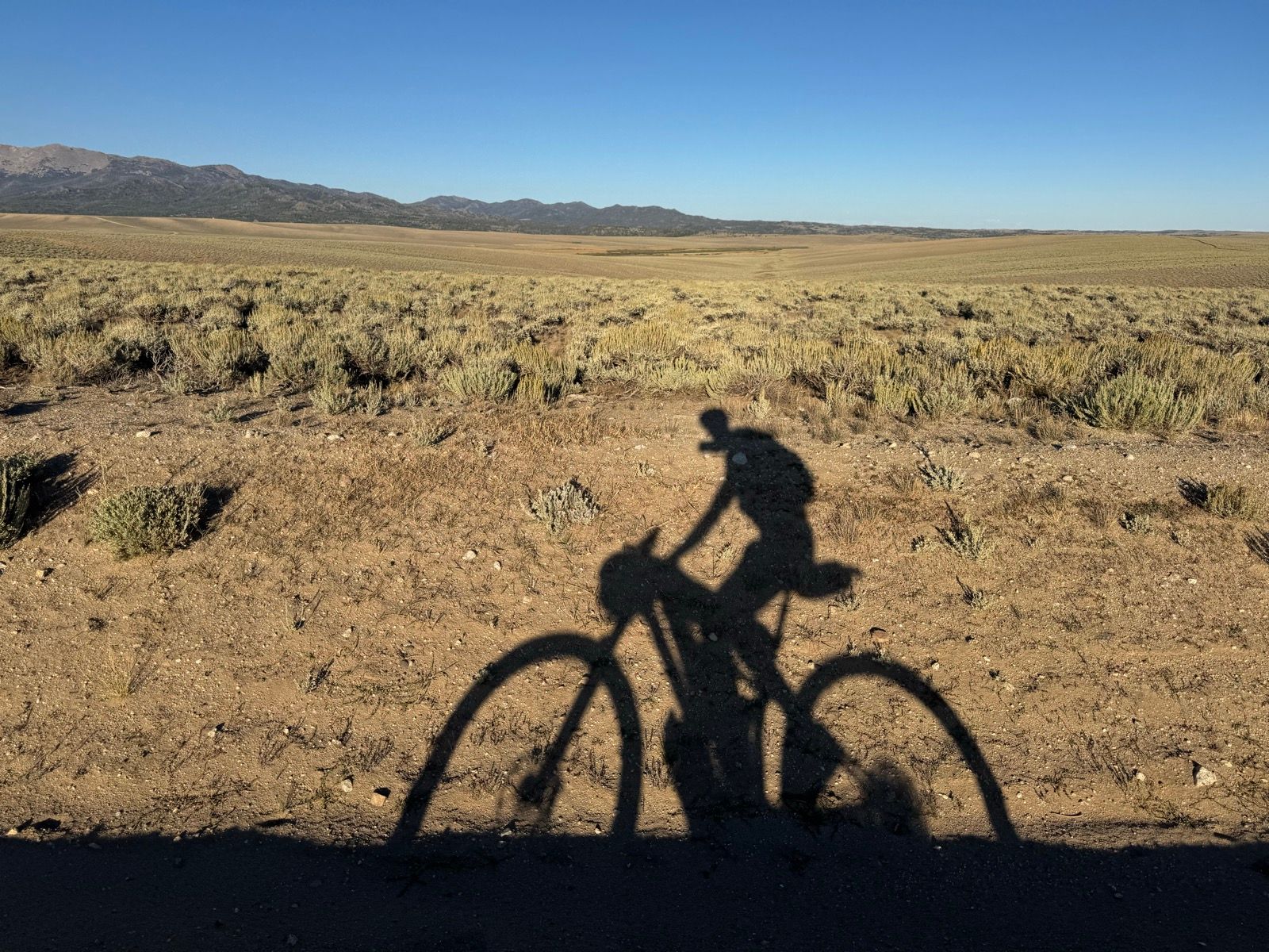
Having grown up driving around the perimeter of the Great Basin, it comes as a shock to experience vast and desolate it truly is. I don’t think I’ve traveled a landscape with so little shade—the scrubby sagebrush (the tallest thing around) growing only a foot or so high in a smooth, undulating landscape devoid of rock outcrops or other shady topography.
I had intended to sleep under the stars, but ended up pitching my tent tonight to keep my things from blowing away. Classic Wyoming! 😀
Despite a couple of small hitches, today mostly consisted of easy and pleasant miles.
Found another broken spoke this morning. Fortunately, this time I was prepared with a spare spoke and some recent experience and the benefit of the compressor at the gas station next door to reset the tire bead (and, had that failed, a kind stranger offered help). 30 minutes later, I was back in business with a properly repaired bike!
After giving my bike a thorough bath at a car wash (using only the gentlest of sprays), I rode the nice shared use path from Marbleton to the Big Piney post office to pick up my resupply box that Ruth and Sam mailed a week ago (shout out to Sam and Ruth for printing the labels and shipping my boxes!!). Unfortunately, for inscrutable reasons, the usually-quite-reliable USPS had some sort of SNAFU and my Big Piney box never left Billings when it got there a week ago. So, Plan B, I hit the grocery store and stocked up on no-cook food and snacks (the small canisters of isobutane fuel that my stove runs on our difficult to come by outside of places that cater to backpackers).
Being now out of grizzly territory for the rest of the trip, I’m happily discarded my bear spray. Since it was already two years expired, rather than ship it home, I found a good place to discharge it (a fun and educational novelty for me, having never actually discharged bear spray before).
After an early lunch back in Marbleton, I packed my bike and was on the road by the prompt hour of noon.
The rest of the day offered smooth, swift miles—with a tailwind much of the day. By 4 pm or so I turned onto the GDMBR, and enjoyed the fast, smooth, and familiar roads that Sam and I rode in June during loop around the Wind River Range.
Being thoroughly engrossed in the Theodore Rosevelt biography also helped the miles melt away!
I arrived at the Sweetgrass Campground around 8 pm. This evening is my first stay in a campground, first campfire, and second night sleeping out under the stars of the trip. Sipping tea heated over campfire coals and enjoying one of those gas station fruit pies, heated through like fresh out of the oven is an excellent treat. Back on the CDT tomorrow!
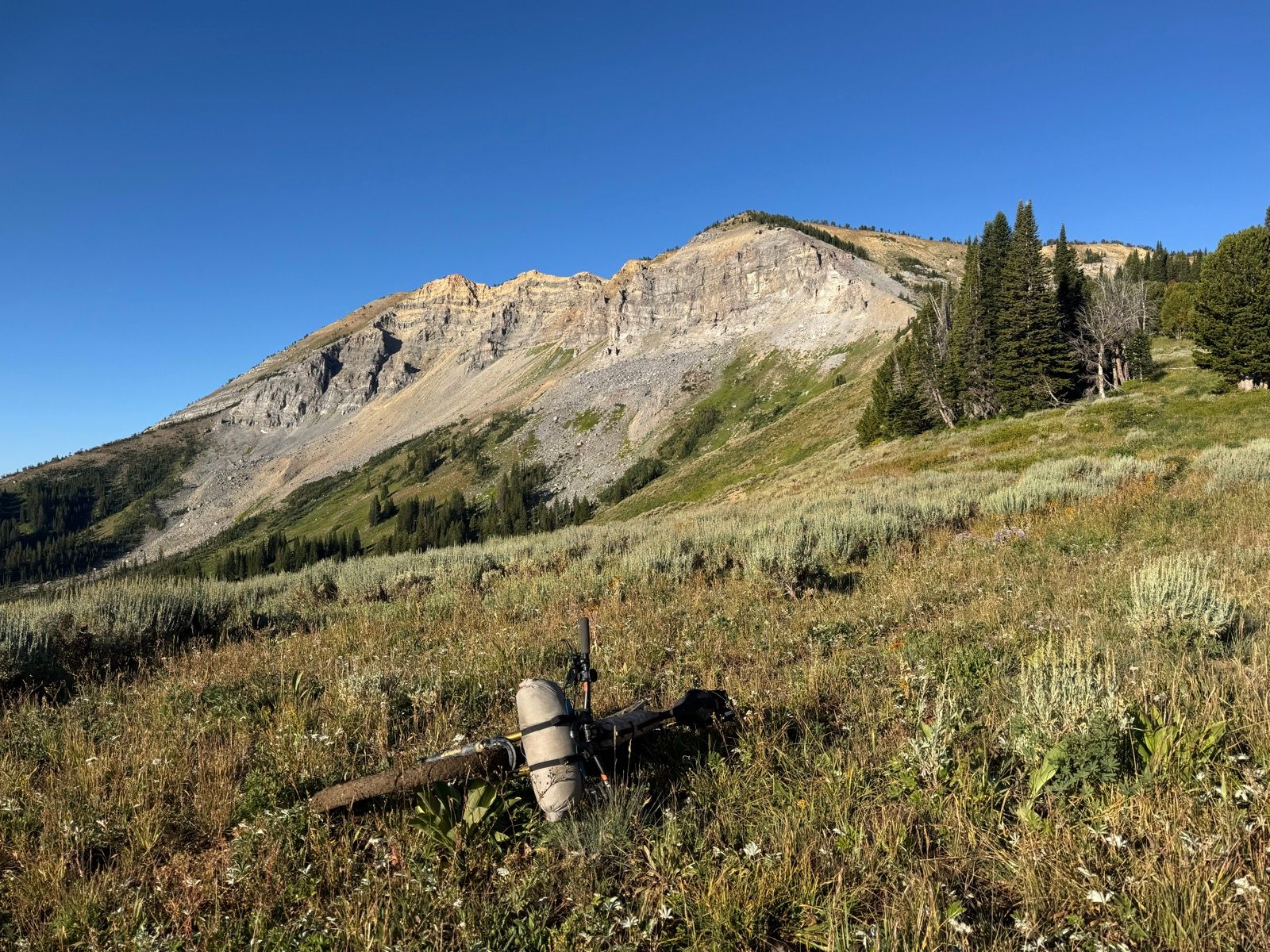
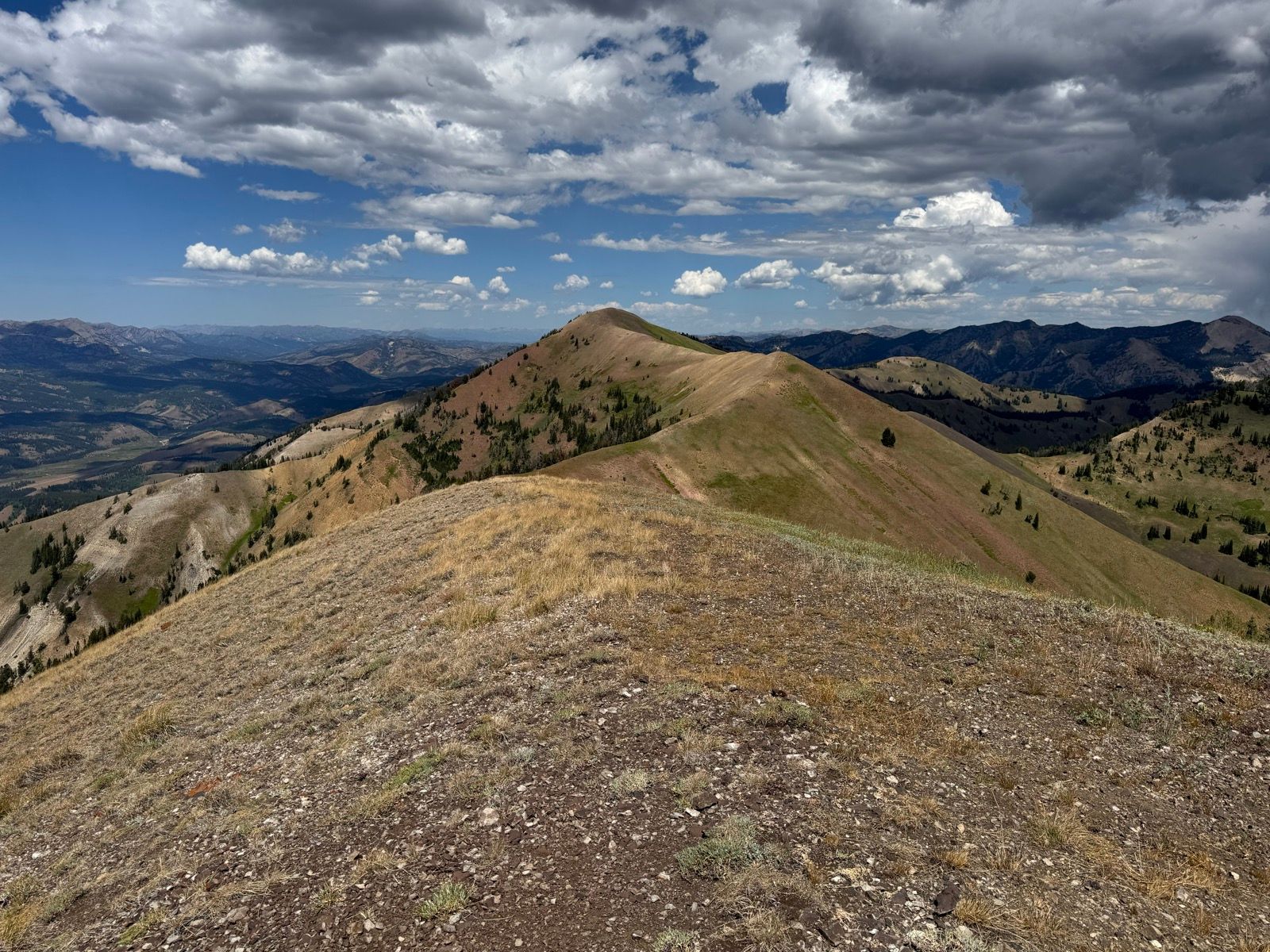
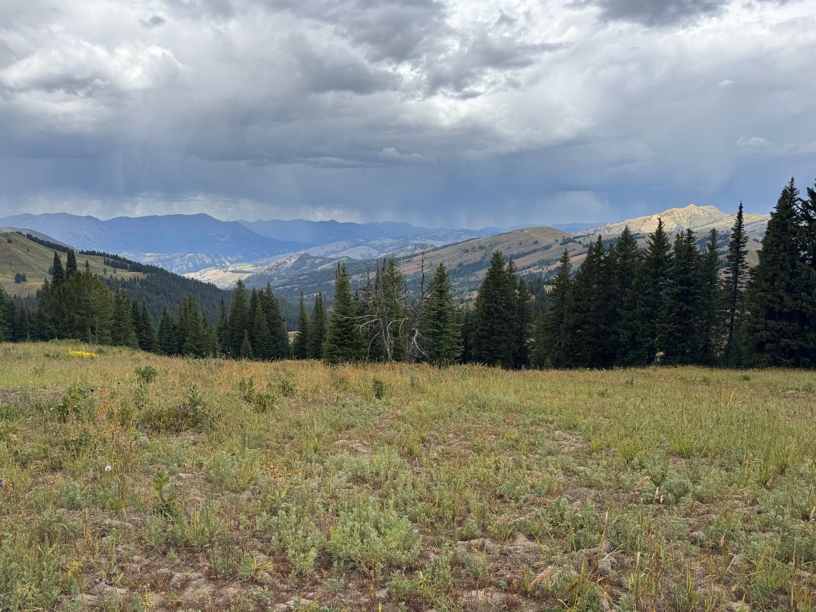
Broke camp, pedaled a mile or so, then took an hour to scamper up to the top of McDougal Peak (one of the few named peaks in the range). The views were excellent, the peak had one of those delightful registers common to peaks that only see a handful of ascents each year, and the extra hour of sun gave the trails a chance to dry out a bit, taming the gumbo mud.
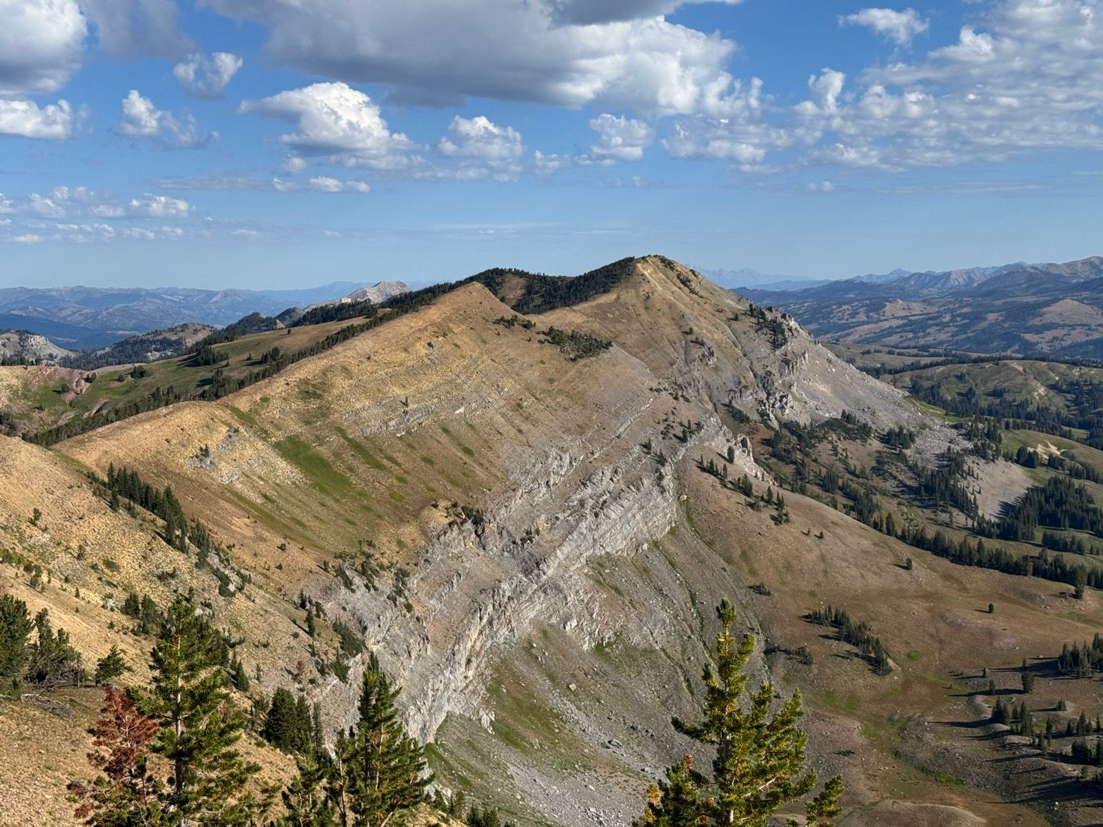
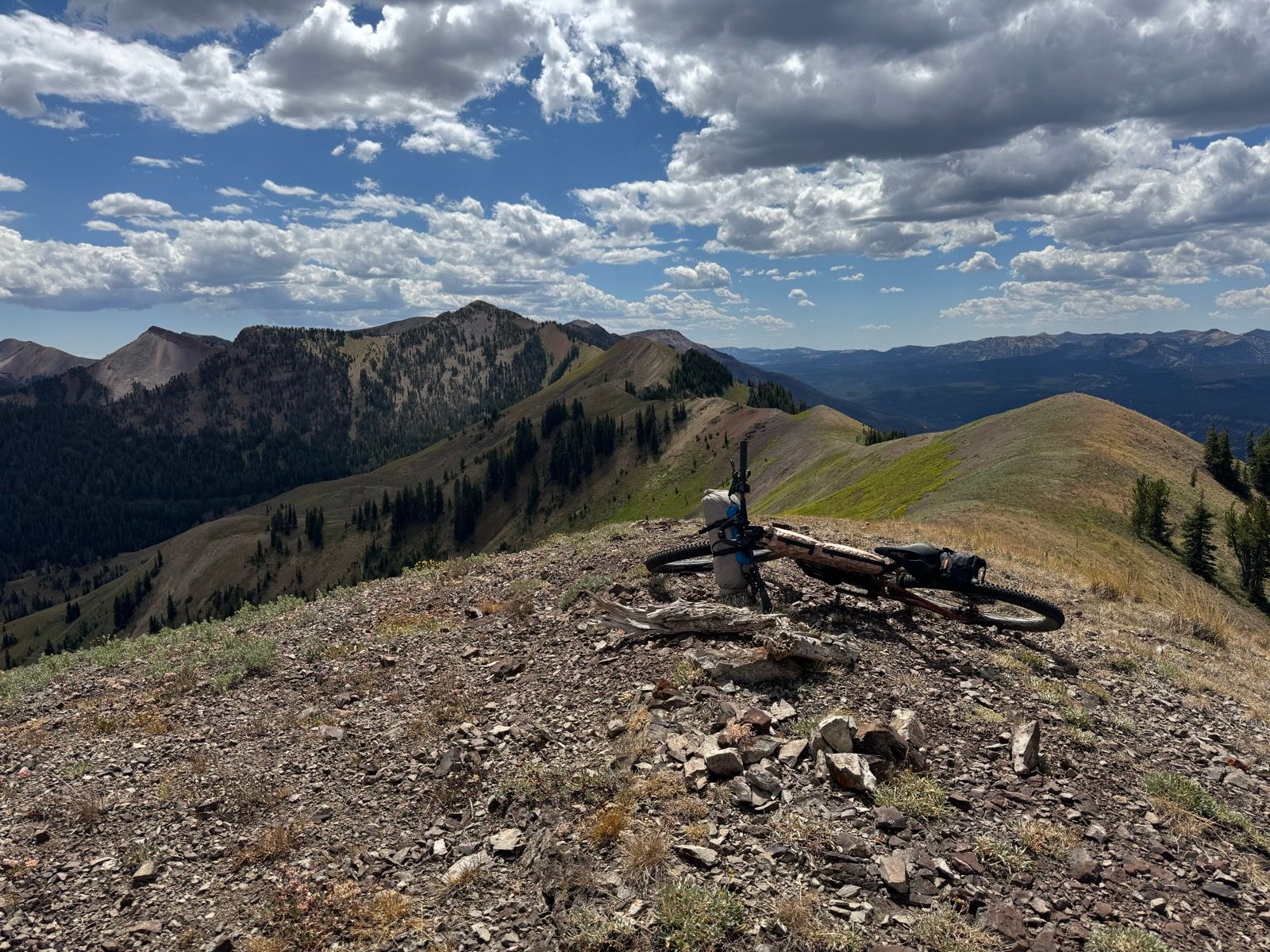
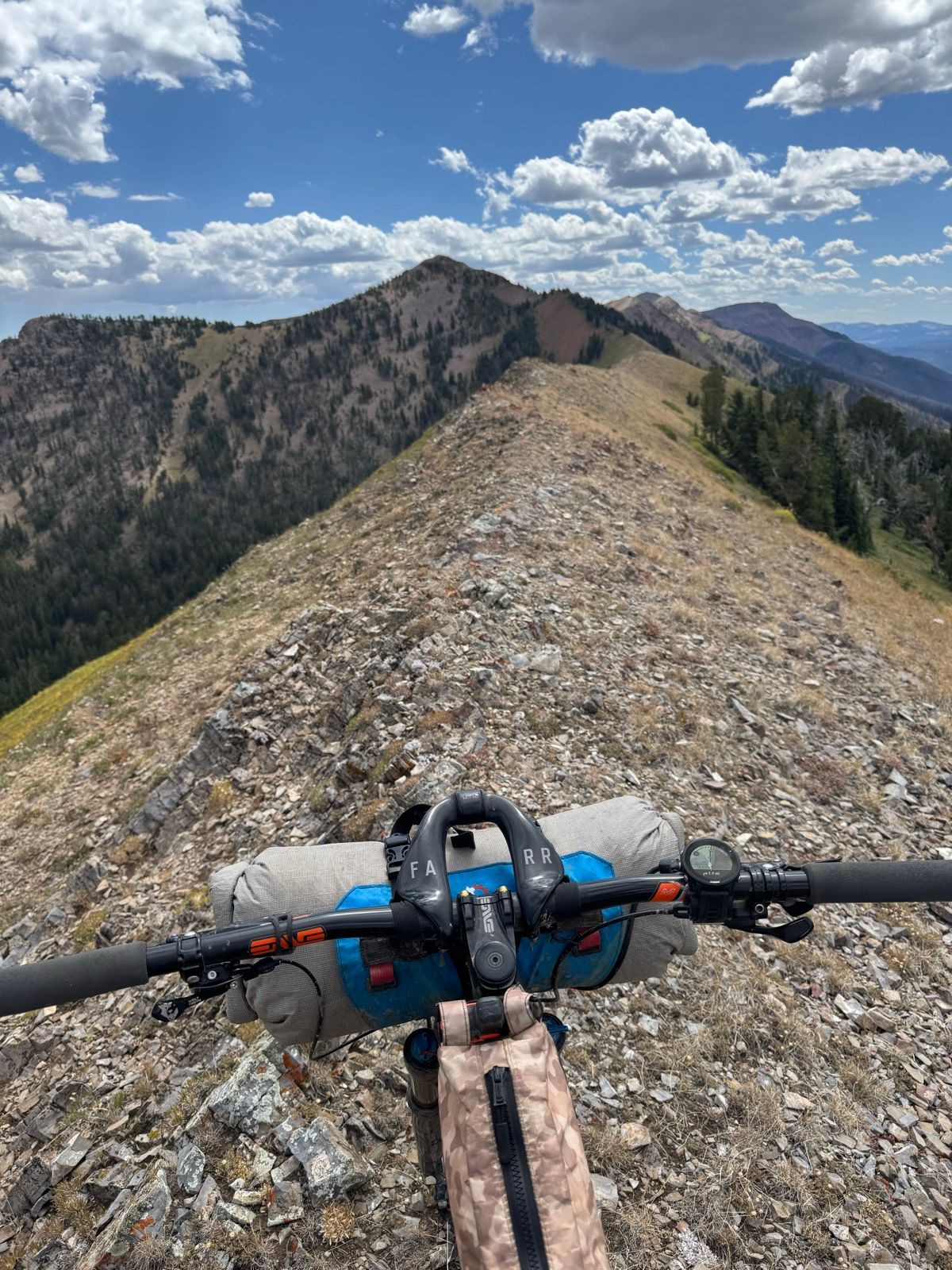
“Biking” the Wyoming Range National Recreation Trail (WRNRT) is 10% “ooh-ing and ah-ing” at the landscape, 30% riding, 40% hike-a-bike, and 20% standing dumbfounded looking at one’s GPS and muttering “where the hell is the trail?” It’s a rather absurd place to take a bike! I “Type 2” enjoyed the 55 miles or so of the trail I traveled, but candidly the trail would make a far better fastpack than bikepack. The first 25 miles or so of the range are necessary to make the route work. Any additional miles in the range are merely masochistic bonus miles.
Random comment to myself while riding down a wide and trailless (save for the occasional cairn or post) basin: “I’m very glad I got my bike in ship shape before leaving Victor. This is the rowdiest shit!”
Exited the range around 6 pm and pedaled like mad for Marbleton, making it to town just in time for a hamburger.
After weeks of undeniably good luck, today has been a struggle. Felt inexplicably exhausted and nauseous throughout much of the morning, leading to a restorative trailside nap. My ability to plop on the ground and sleep there for a solid hour speaks to my exhaustion!
The sentry raindrops of a looming thunderstorm woke me. I pedaled into a sanctuary stand of trees to wait out the storm. I burned a bit of fuel to make myself a cup of coffee and emerged from the trees 45 minutes later into sunshine and feeling rather restored.
Unfortunately, the sunshine soon gave way to another storm, and then another.
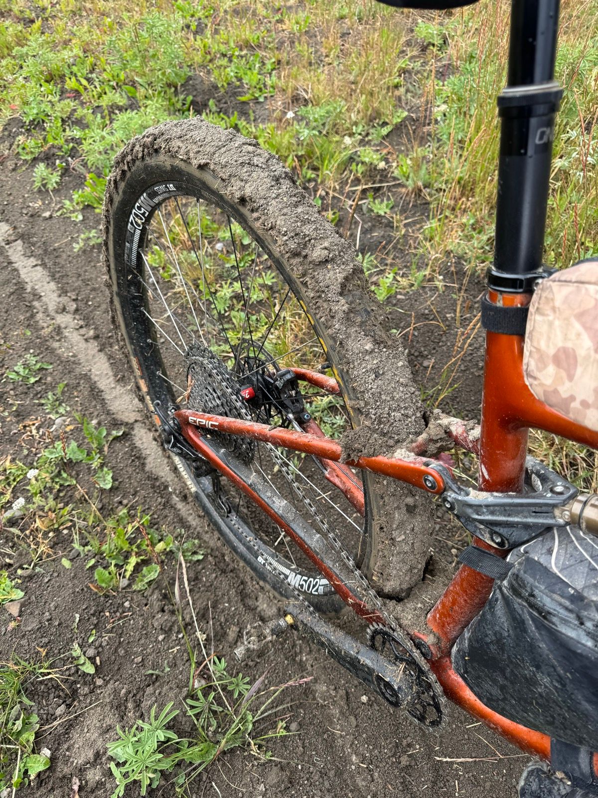
By early afternoon the trails had turned into total gumbo mud—the kind that cakes onto your tires in thick layers, making a terrible mess in one’s suspension.
With more rain in the forecast and still feeling a bit nauseous, I decided to do a kindness to the trail, my bike, and myself and call it an early day. No sooner did I have my tent up in the next rainstorm began.
It’s been two hard days in the Wyoming Range so far, and I’m less than halfway.