62: North Star Road
After some tossing and turning, at 5:30 AM the first light appeared on the eastern horizon and I deemed it late enough to begin the day. After an oatmeal breakfast while still half wrapped in my sleeping bag, I packed my tent (thoroughly sodden with dew) and got on the road.
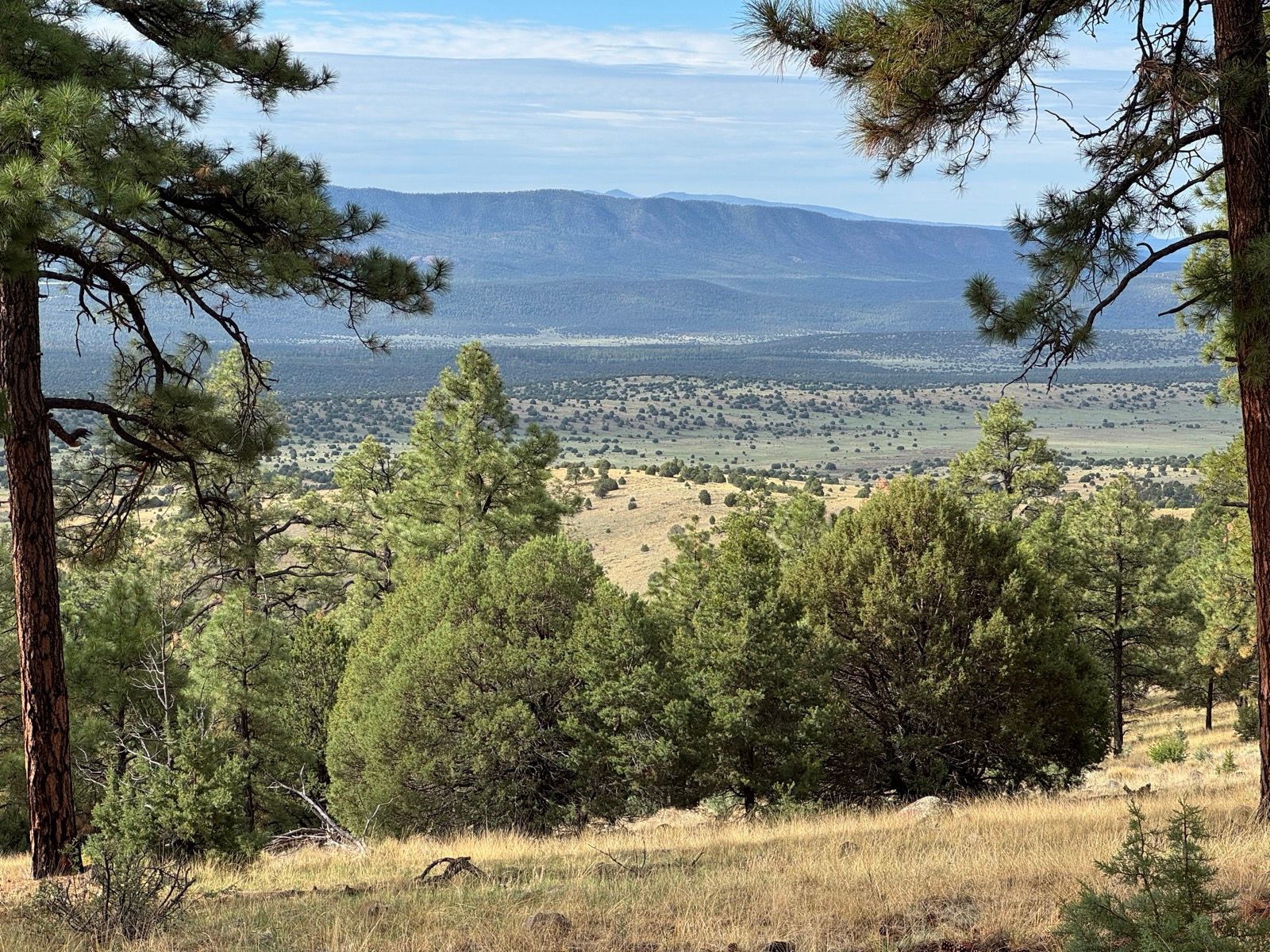
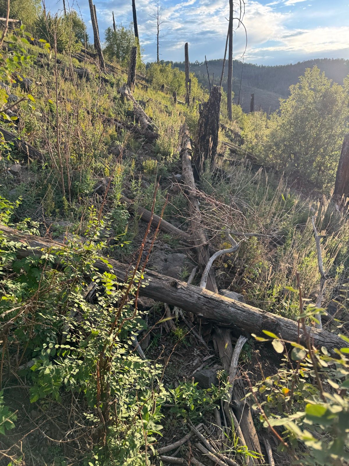
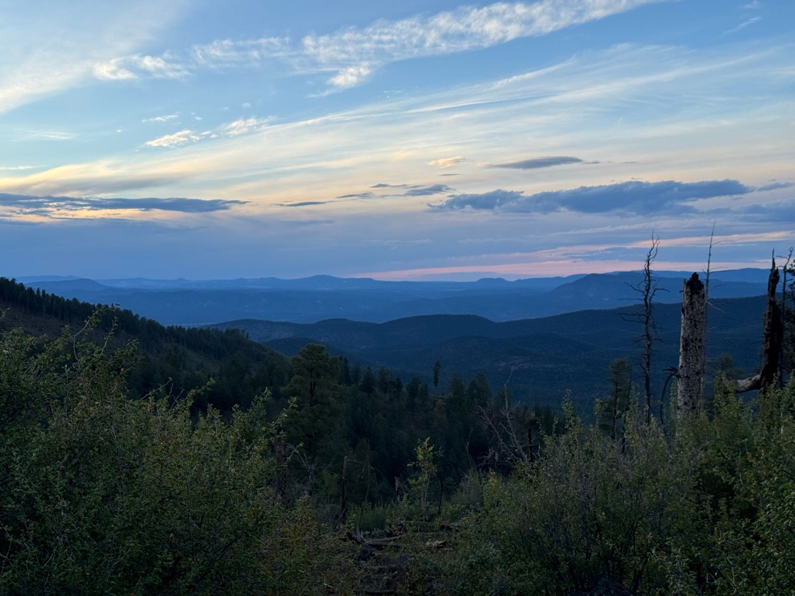
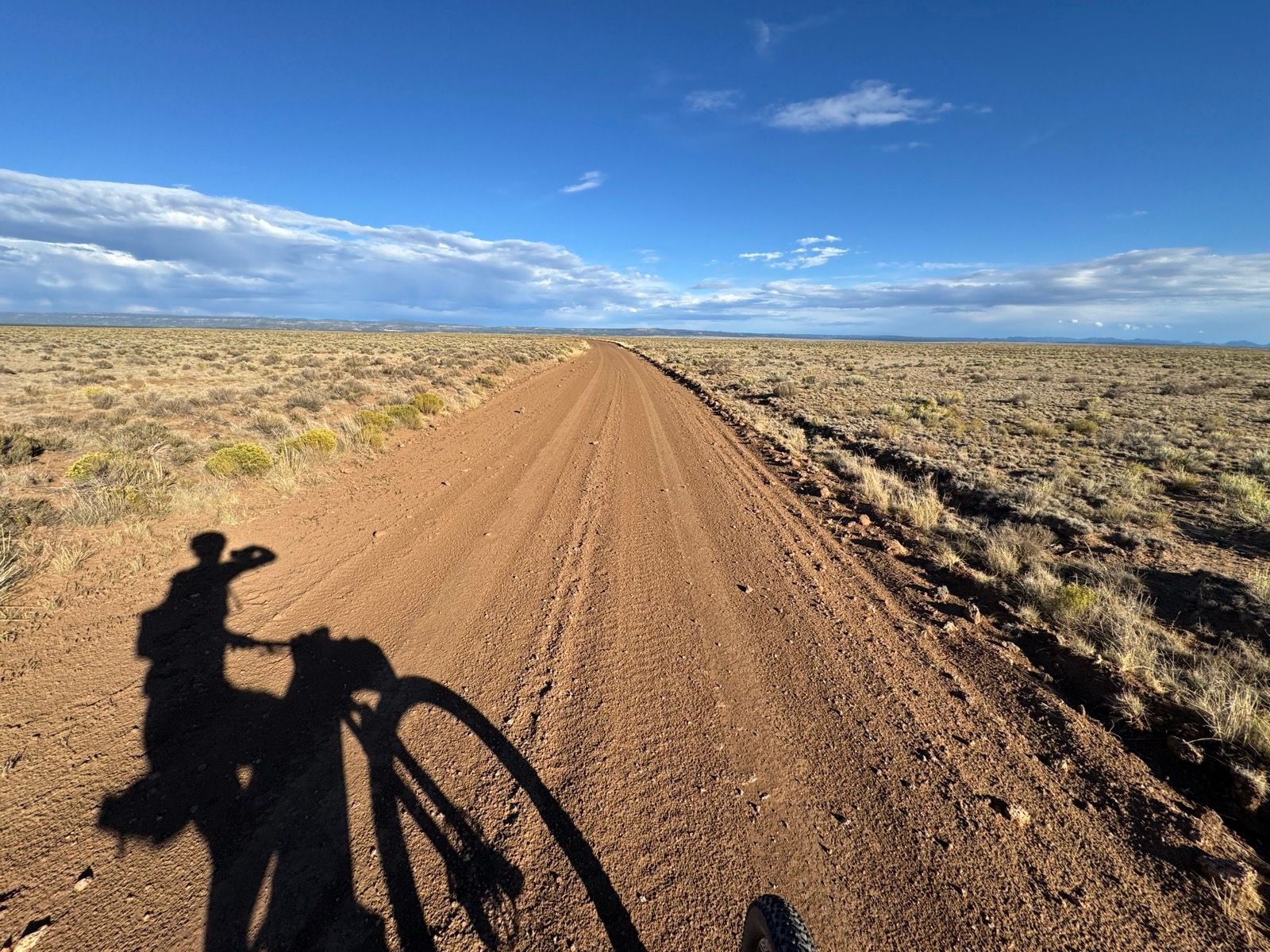
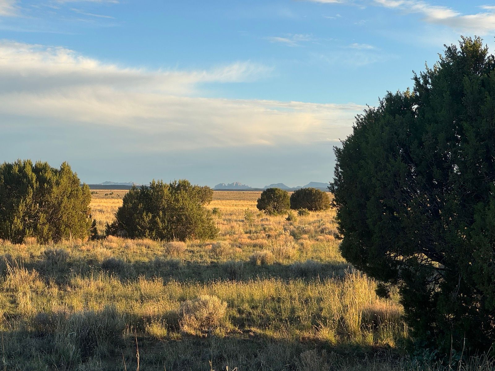
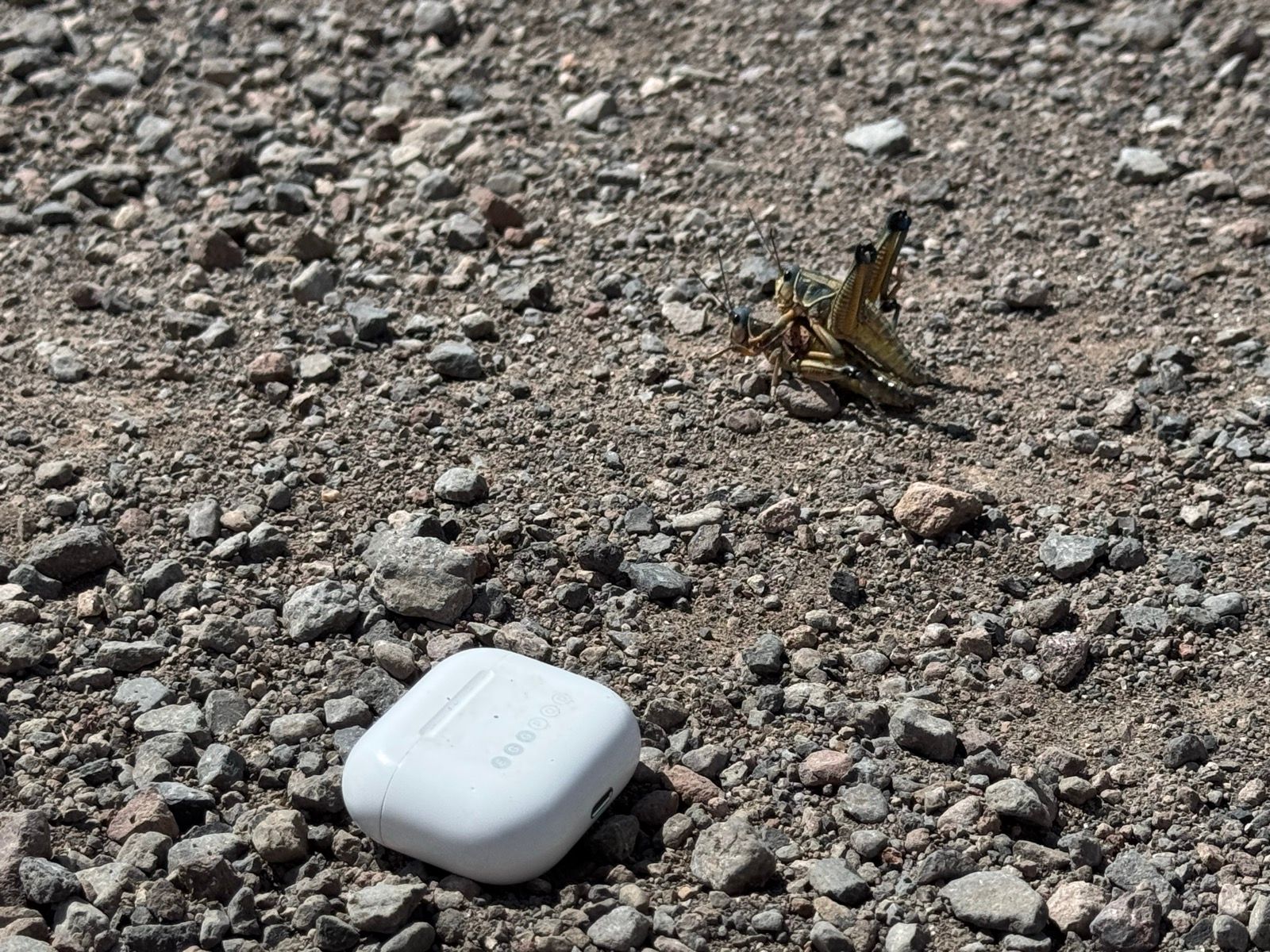
Today’s ride is predominantly on the GRMBR on the North Star Road, built by the CCC, and cutting the former Gila Wilderness into two units (the eastern unit is now the Aldo Leopoldo Wilderness). The miles were largely unremarkable, save for a striking concentration of the largest grasshoppers I’ve ever seen. Many were mating, one upon the other, and many of the mating pairs were perched upon the corpse of another road killed grasshopper. I entertained myself for a spell by narrating grasshopper fetishes. When I reached the highway, the grasshopper carnage was even worse, speckling the asphalt.
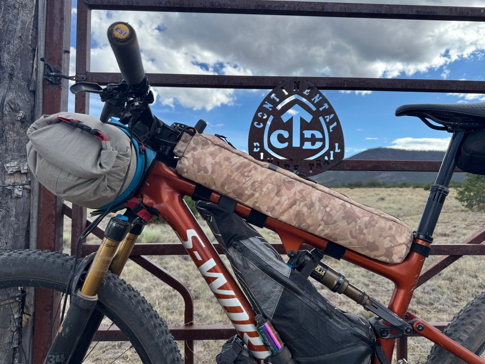
Upon reaching the CDT I pitched my tent to let it dry out and pedaled on to the Lake Roberts General Store. I wish I had thought to take a photo… the selection of food items available was the most bizarre I’ve ever seen. E.g. there were four cans of Vienna sausages on the shelf of three different brands. I spied a single box of macaroni and cheese, in a faded store brand box, and nabbed it for my dinner.
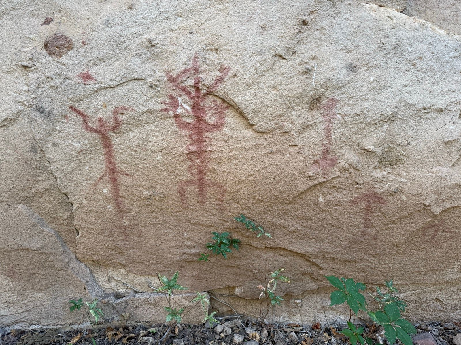
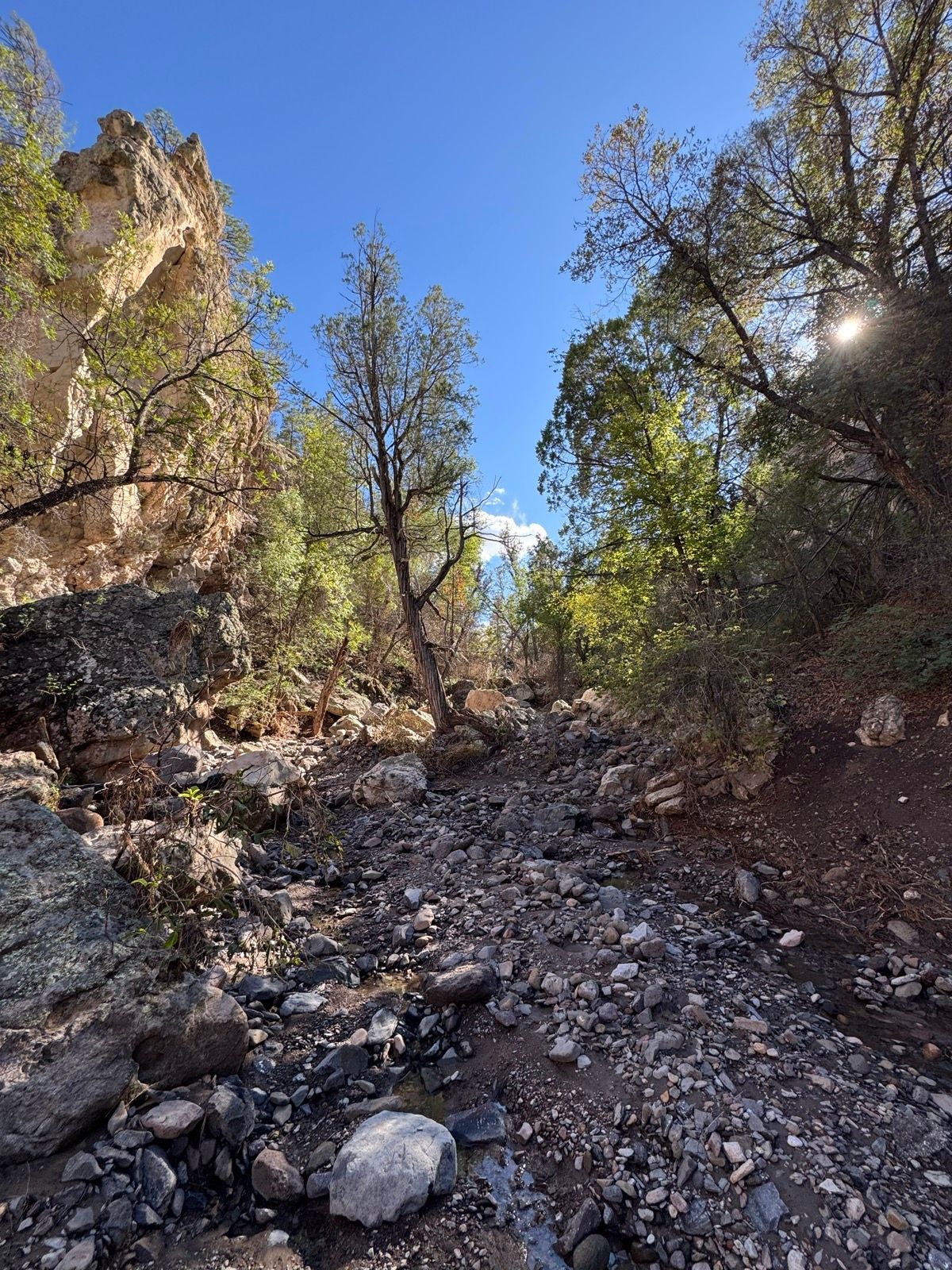
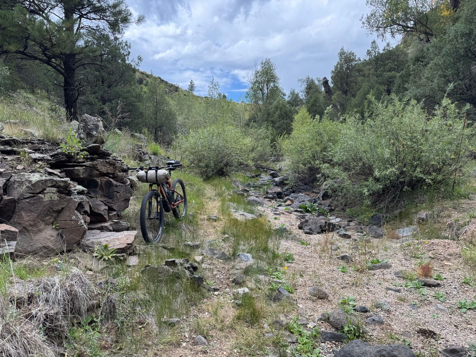
On my way back, I stopped off at a canyon labeled on the map as “pictograph canyon.” The Mimbres valley here was home to settlements since at least 300 AD through 1100 AD. The canyon flooded recently, but today was cool and inviting. I found a few and enjoyed a few panels of pictographs in a red pigment against white sandstone walls, and took a few minutes to savor being in a quiet desert canyon with a small stream running through it before turning back.