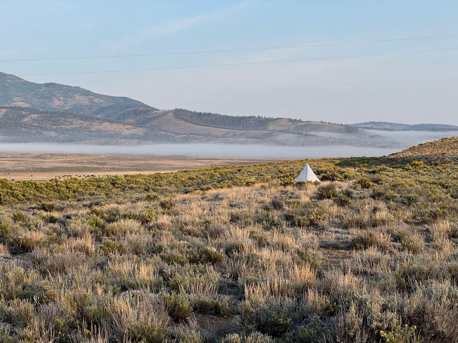
51: Chili Time!

WhenSeptember 9, 2025
Distance72.5 mi
Time11h 10m
Elevation Gain6775 ft
Elevation Loss7710 ft
Avg Speed8.9 mph

Download GPX

51: Chili Time!

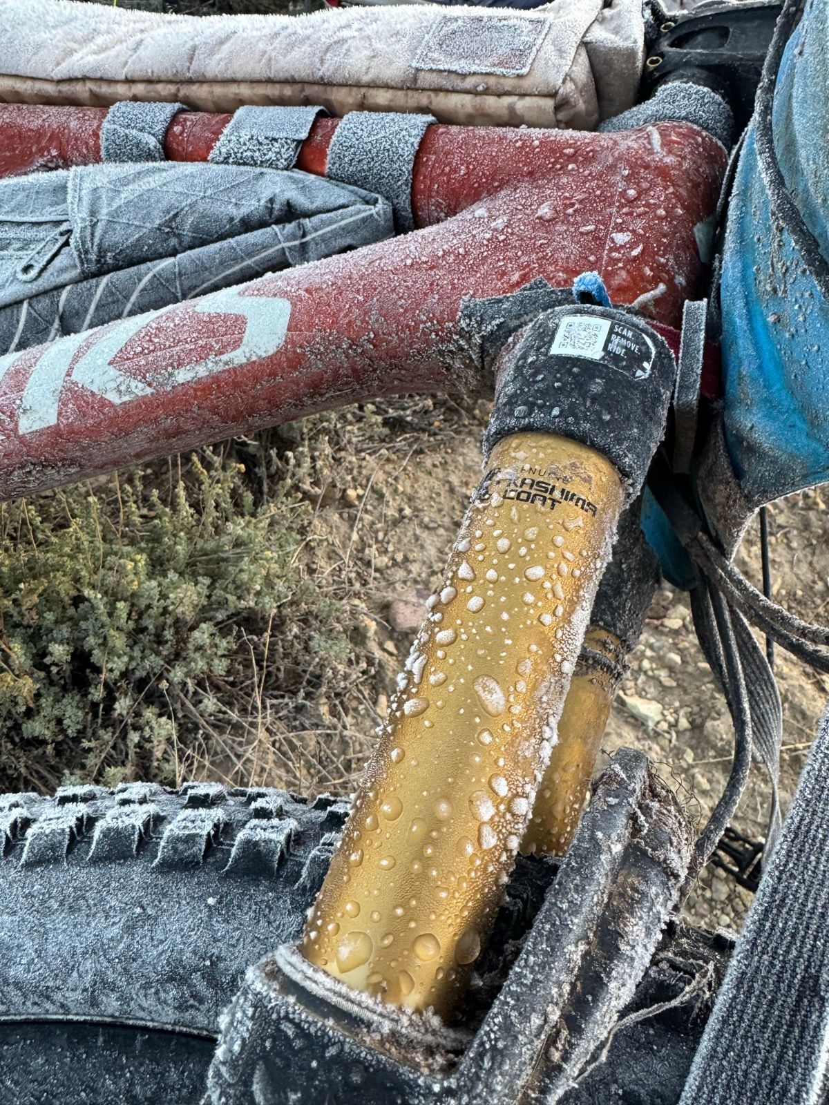
Chilly but fast miles on the GDMBR this morning. The CAMP skimo gloves are really paying off these days!

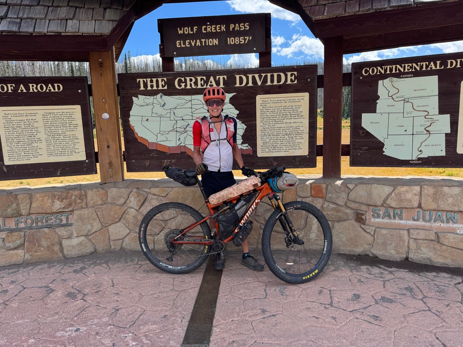
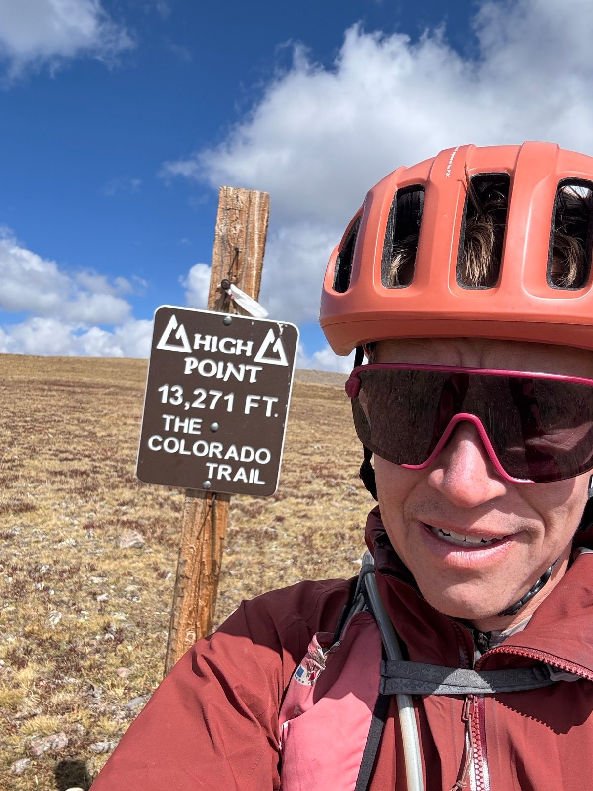
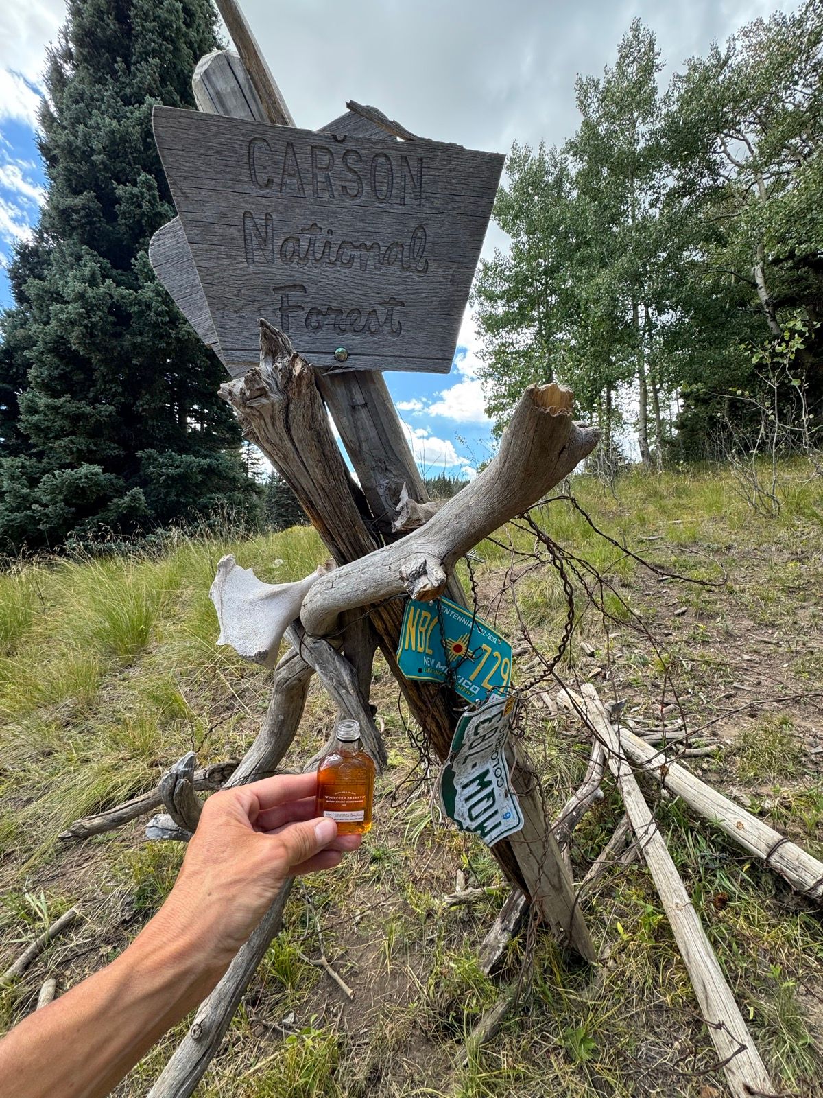
Rejoined the CDT proper at Cumbres Pass, and hit the New Mexico border a few miles later. Celebratory whiskey ensued. Last state!

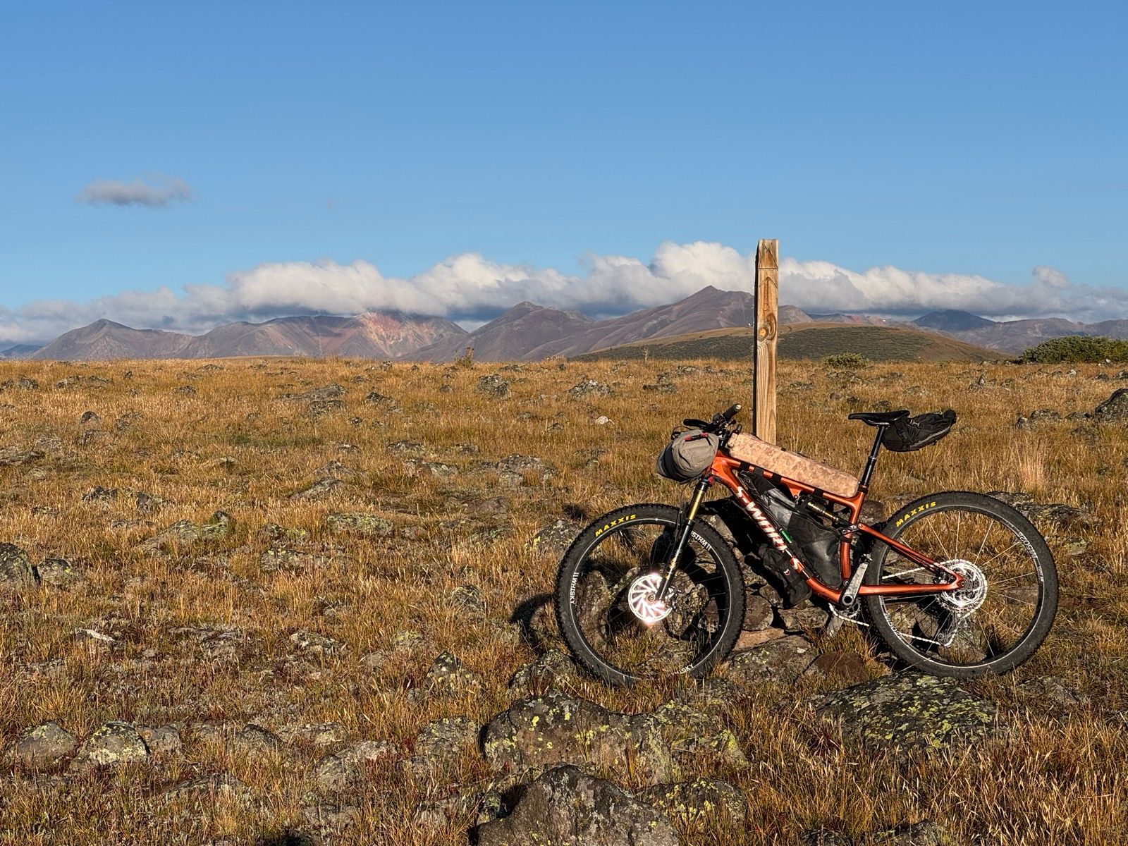
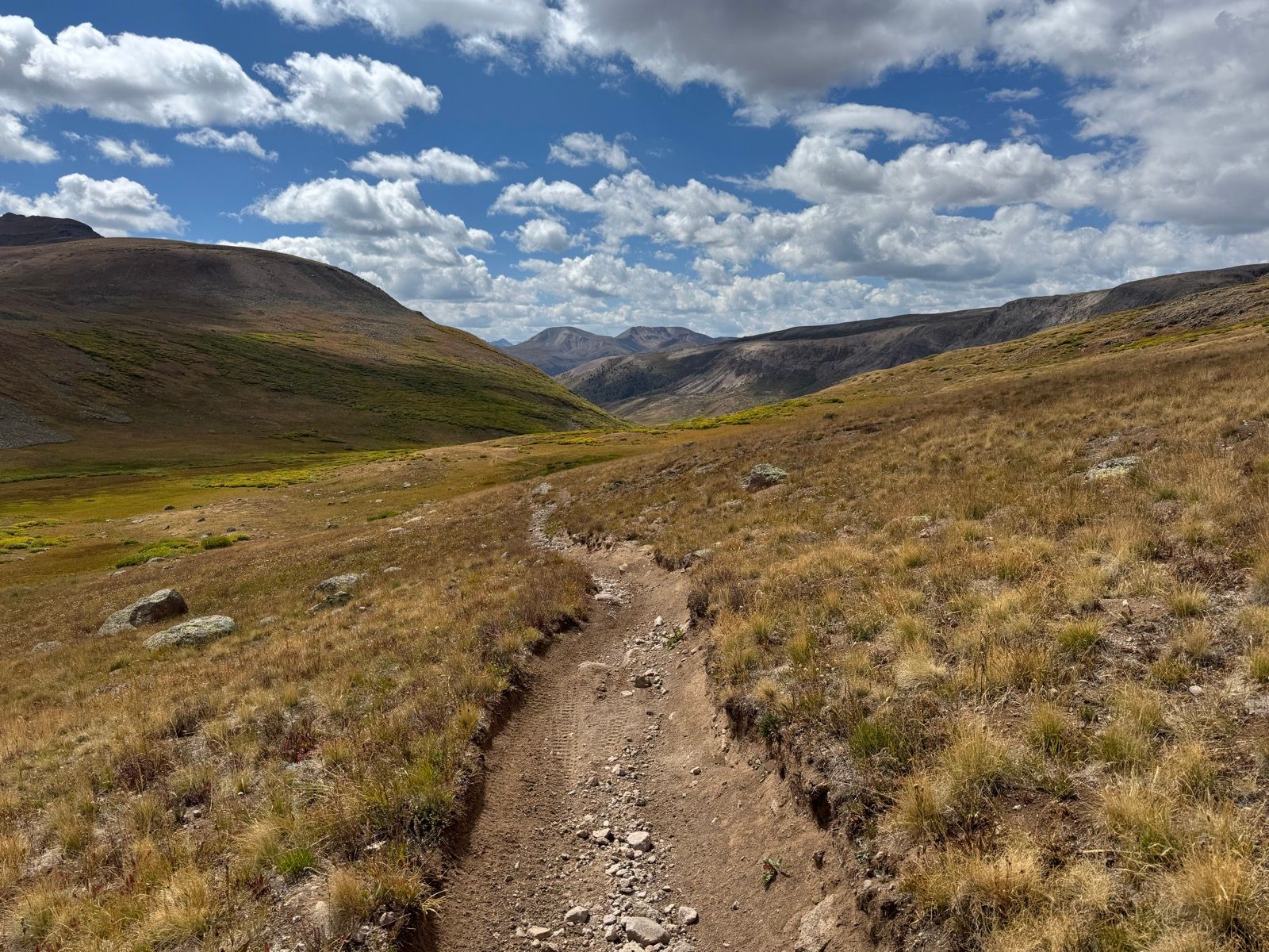
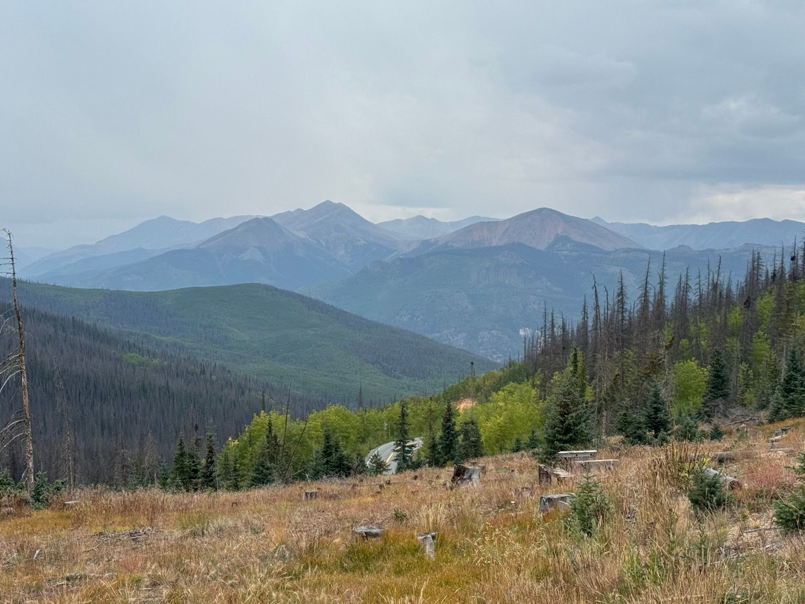
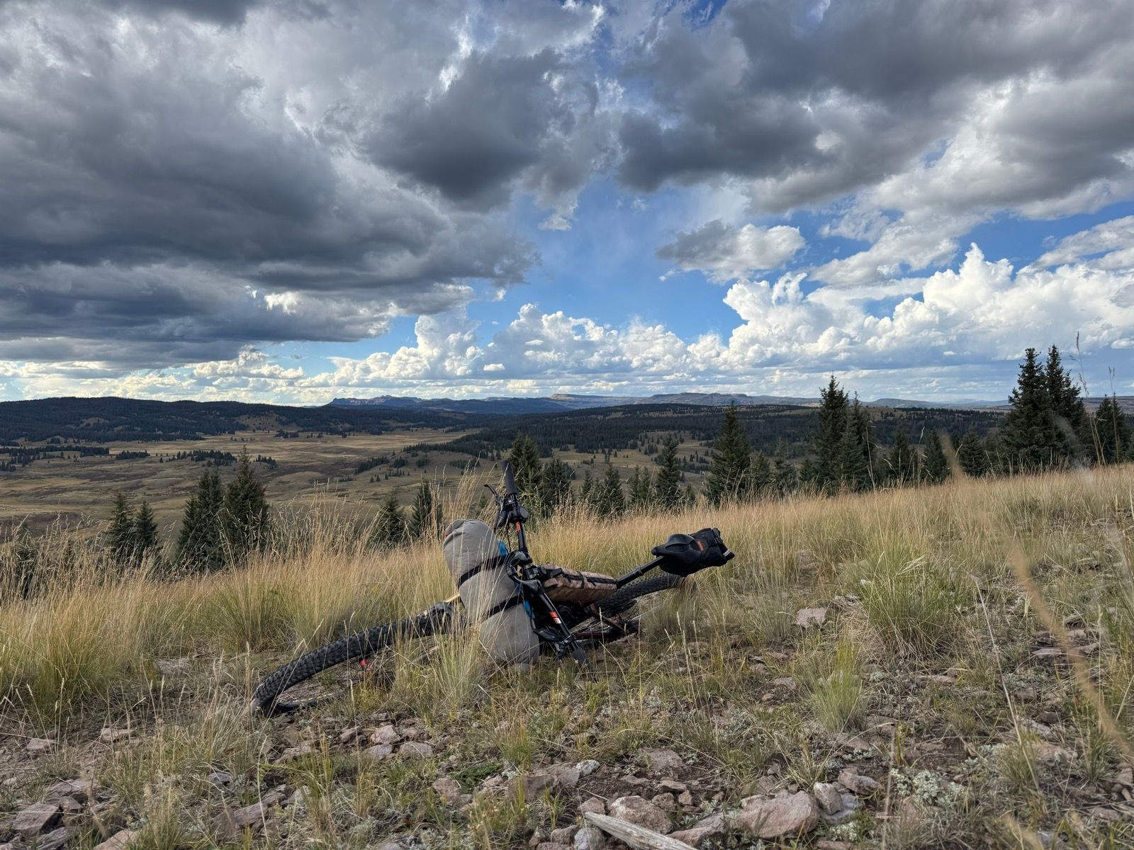
The trail in New Mexico is certainly far fainter than what I’d grown accustomed to on the Colorado Trail portions of the CDT.

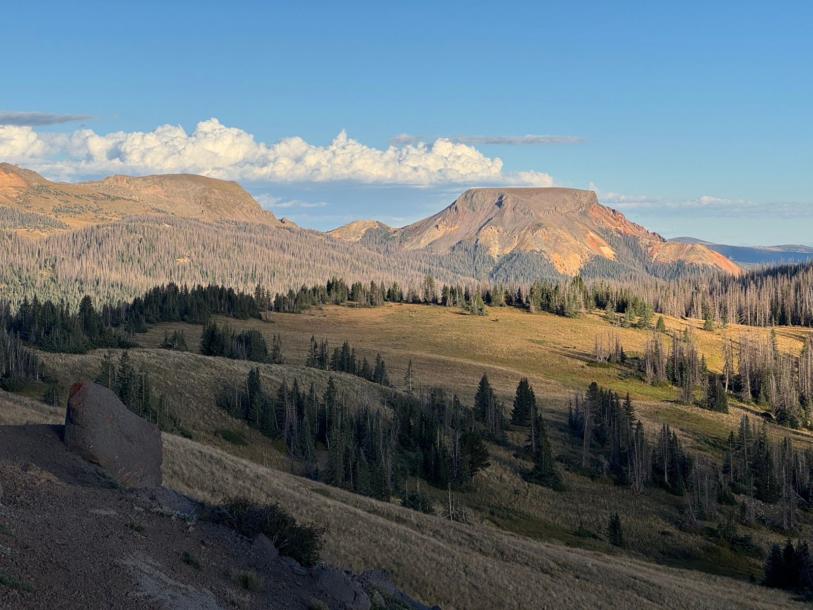
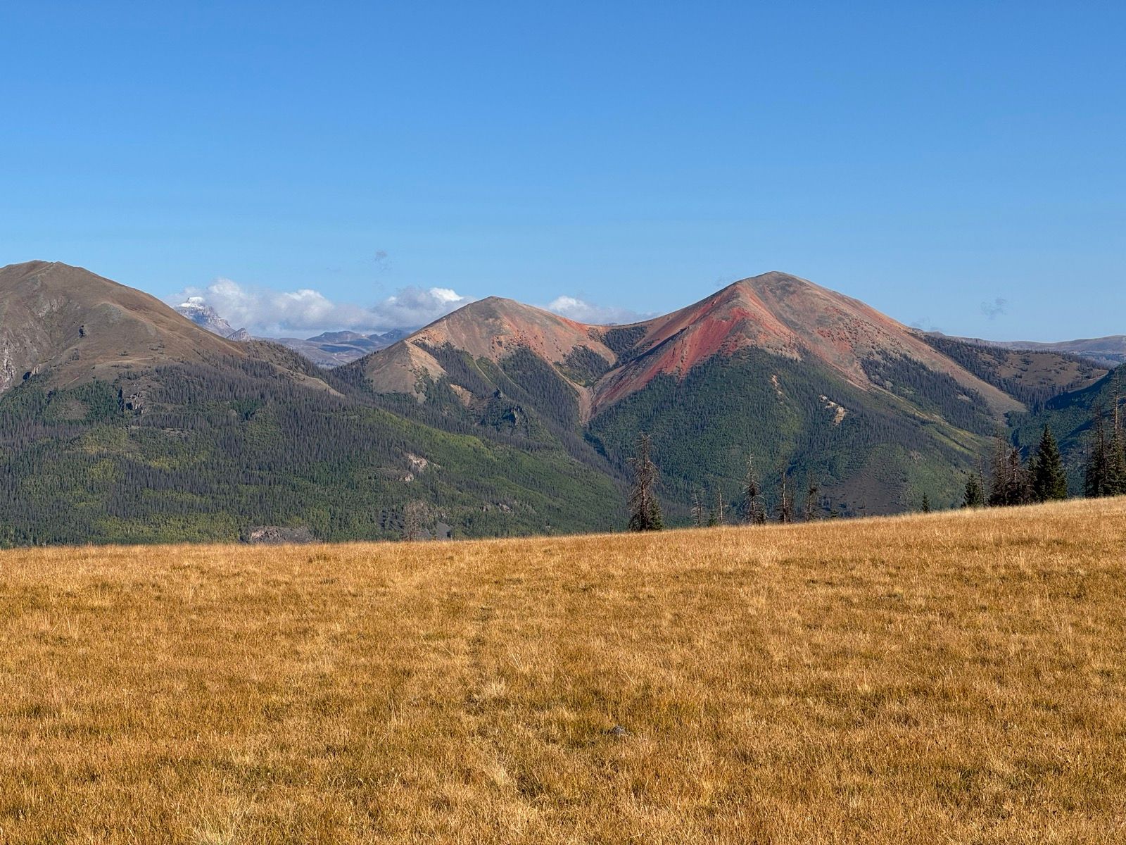
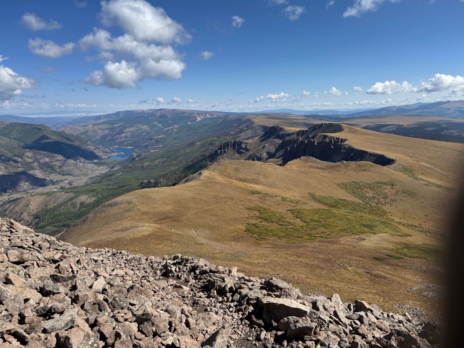
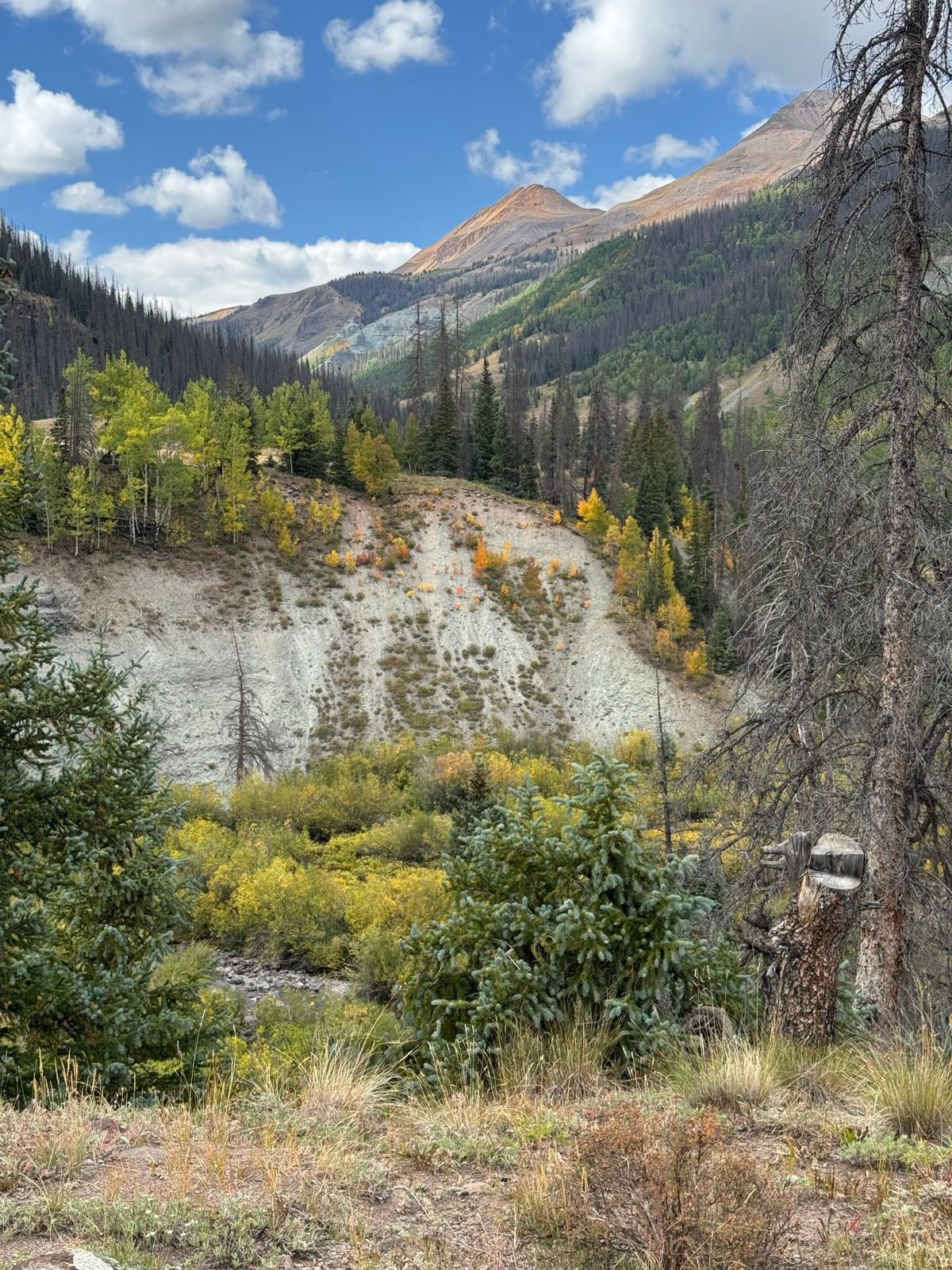
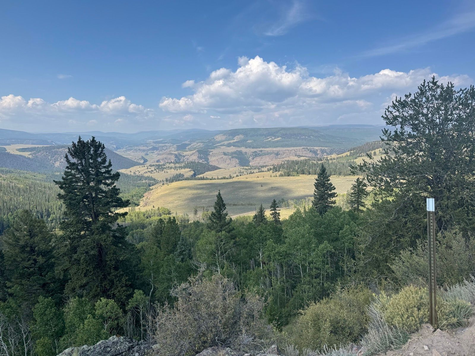
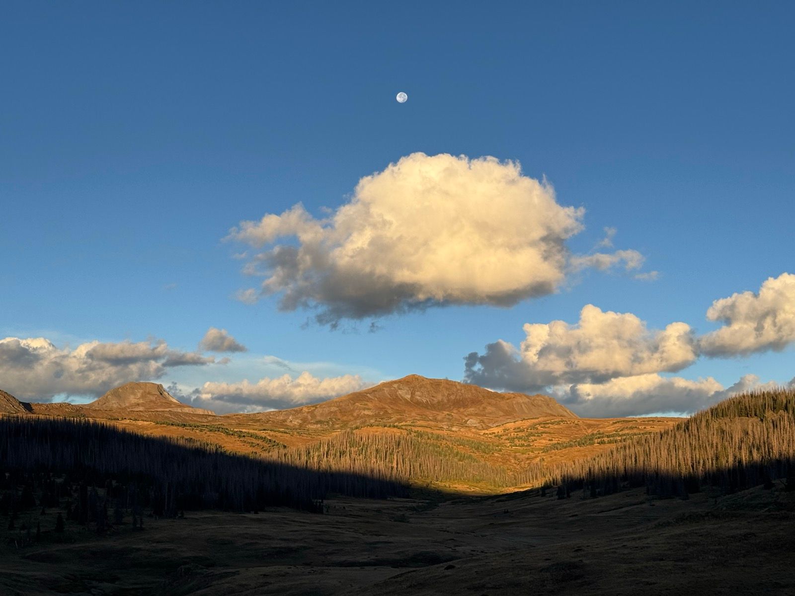
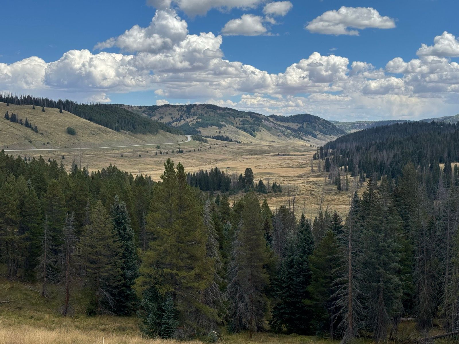
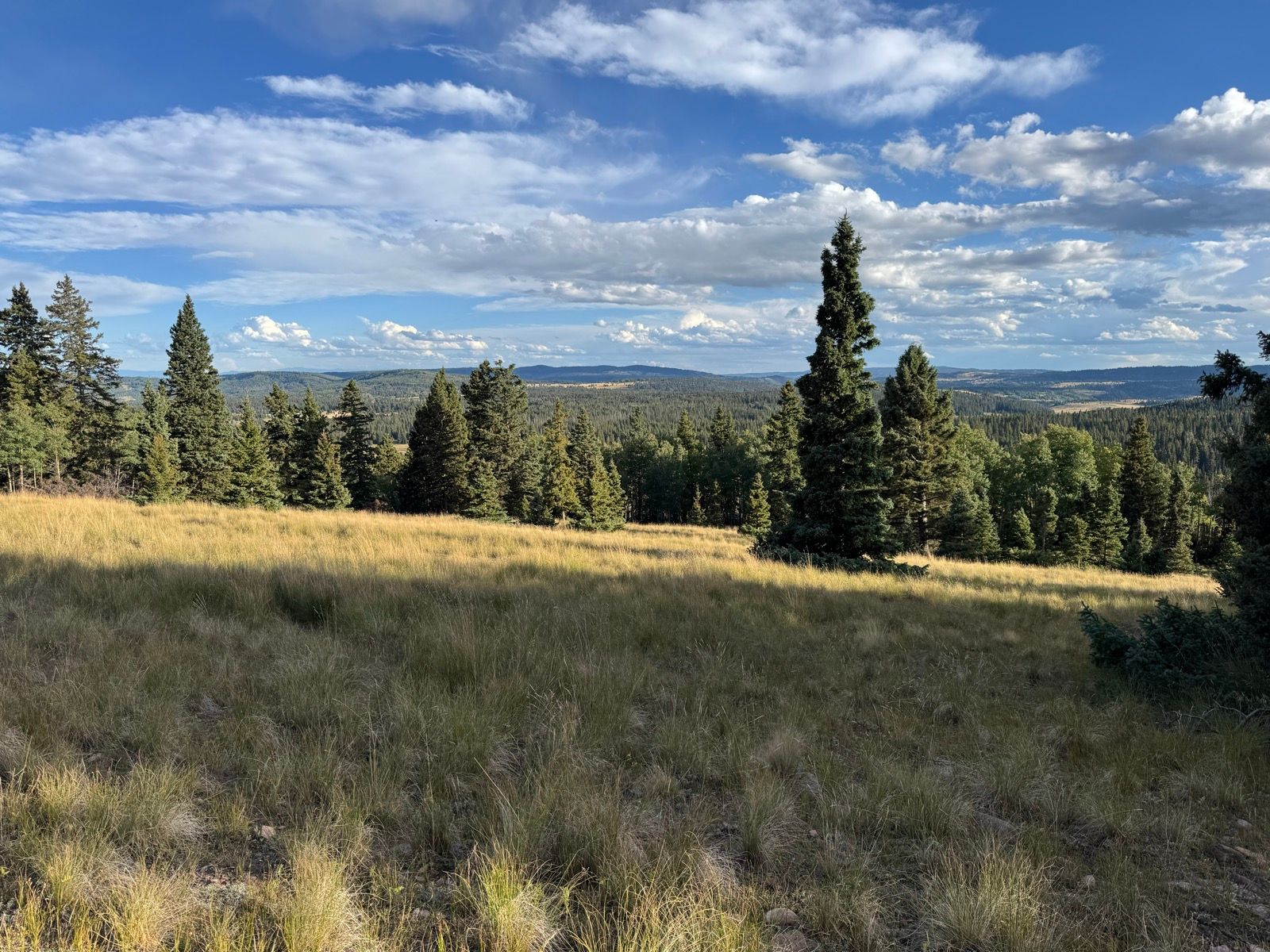
The immediate change in landscape is striking. I started the day among the jagged pinnacles and spires and ramparts of the volcanic southern San Juan mountains. By this afternoon, I’m crossing low ridge lines over rolling valleys of grass.

Camped early tonight to do a bit of shoe maintenance. Despite having purchased brand new shoes for this trip, my shoes are falling apart from all of the hike-a-bike. I purchased some glue on my way out of South Fork and applied it tonight (I very much wish I’d noticed my disintegrating shoes a day earlier and could have made the repair in the hotel after properly cleaning the shoes).

Listening to: Outlive by Peter Attia

View on Strava

50: Wolf Creek

WhenSeptember 8, 2025
Distance37.3 mi
Time7h 21m
Elevation Gain6299 ft
Elevation Loss2979 ft
Avg Speed6.2 mph

Download GPX

50: Wolf Creek

If I had hoped to find South Fork livelier than Creede on an off season Sunday night, I was quickly disappointed. Nevertheless, I got a hotel, washed some clothes, and drank too many beers.

18 miles of asphalt brought me to the summit of Wolf Creek Pass, where I rejoined the CDT, which runs across the top of the Wolf Creek ski area (where I once saw my friend Griffen throw a monster 40’ backflip off a cliff… so much for terra incognita). From there the trail winds into the southern San Juan Mountains. I was grateful once again to see many piles of sawdust where a few months ago would have been an arduous concentration of downed trees.

The volcanic colors and shapes of the San Juan’s are unlike any other mountains encountered along the route to date… thoroughly enchanting!

After 20 miles or so of interesting and predominantly ridable trail, I hit a major junction around 7 pm with the GDMBR (which I last saw in Steamboat Springs), which will be my primary route for the next few days where the CDT passes through the Southern San Juan wilderness.

View on Strava

49: Creede to South Fork

WhenSeptember 7, 2025
Distance22.2 mi
Time1h 29m
Elevation Gain226 ft
Elevation Loss823 ft
Avg Speed15.5 mph

Download GPX

49: Creede to South Fork

Easy post dinner ride. First time riding in the dark this trip!

View on Strava

49: Rio Grande Headwaters

WhenSeptember 7, 2025
Distance72.4 mi
Time10h 38m
Elevation Gain6257 ft
Elevation Loss9052 ft
Avg Speed9.1 mph

Download GPX

49: Rio Grande Headwaters

After another chilly start (there is a dusting of fresh snow visible on Uncompahgre Peak this morning), was soon back in the Colorado alpine peddling west into the San Juan mountains. The trail along the stretch was generally quite rideable. The San Juan are without a doubt the most dramatic mountain range along the CDT.

This is a funny stretch of CDT, where the divide traces a horseshoe, the interior of which is the headwaters for the Rio Grande River.

Wanting to make it to Creede in time for dinner, I turned off at Pole Creek, writing a short stretch of the Hardrock 100 course.

Brewster Park was so pretty that if I had another days worth of food with me I would have stopped to camp, just to soak up the landscape.

Creede was a bit of a ghost town so after grabbing some dinner I pedaled on to South Fork (another 22 miles, not shown on this activity).

View on Strava

48: Cathedral Ranch

WhenSeptember 6, 2025
Distance50.3 mi
Time9h 17m
Elevation Gain5925 ft
Elevation Loss3323 ft
Avg Speed9.6 mph

Download GPX

48: Cathedral Ranch

I write this while sitting in my tent this morning waiting for the sun. It rained last evening, then the skies cleared and temperatures plummeted. This morning everything is frozen solid. Bike bag zippers. Rotors. Drive train. Tent panels. All frozen solid until the sun comes and melts the ice.

Once the sun came out things melted quickly and I was on my way over the pass to Cathedral Ranch, a veritable Shangri-La for bikepackers, conveniently located in the middle of nowhere. They have cabins, hot showers, coffee, WiFi, a bikewash station, and a mini store that could rival REI for having everything a bikepacker might need from brake pads to dehydrated beef stroganoff.

I dried my tent, drank coffee, ate ice cream, and downloaded some new audiobooks (having finished Theodore Rex, My Brilliant Friend, and Running with Sherman all in the last two days) before thanking LeAnn and Brad for their gracious hospitality before begrudgingly getting back on the road.

The ~20 mile climb up Spring Creek Pass was gentle but sustained. In a light rain at the top of the pass where the wilderness bypass route T’s back into the CDT, I stopped to contemplate the weather forecast (heavier rain) and my route options. I could travel east on the CDT in be in Creede at the Tommy Knocker brewery by midday tomorrow. Or, I could go west and ride more of the CDT and backtrack to Creede. I chose west, drawn by the allure of the CDT high point some 15 miles to the west.

Another 45 minutes or so and the rain intensified, driving me into my camp and my tent for another early evening (though with a bit of cell service… a rare treat!). I’m annoyed at having barely managed 5 hours of riding today, though given the weather, I guess I made the most of it.

View on Strava