WhenAugust 10, 2025
Distance47.2 mi
Time9h 39m
Elevation Gain5141 ft
Elevation Loss7113 ft
Avg Speed7.8 mph
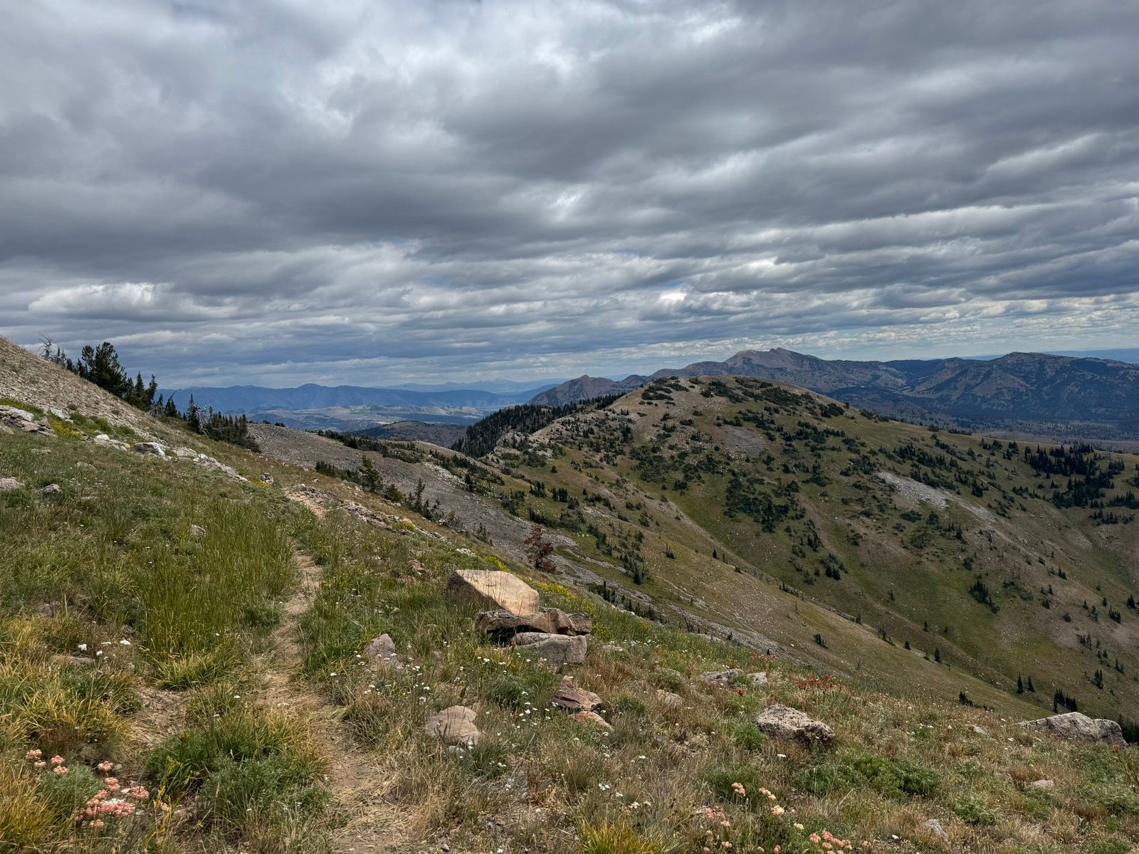
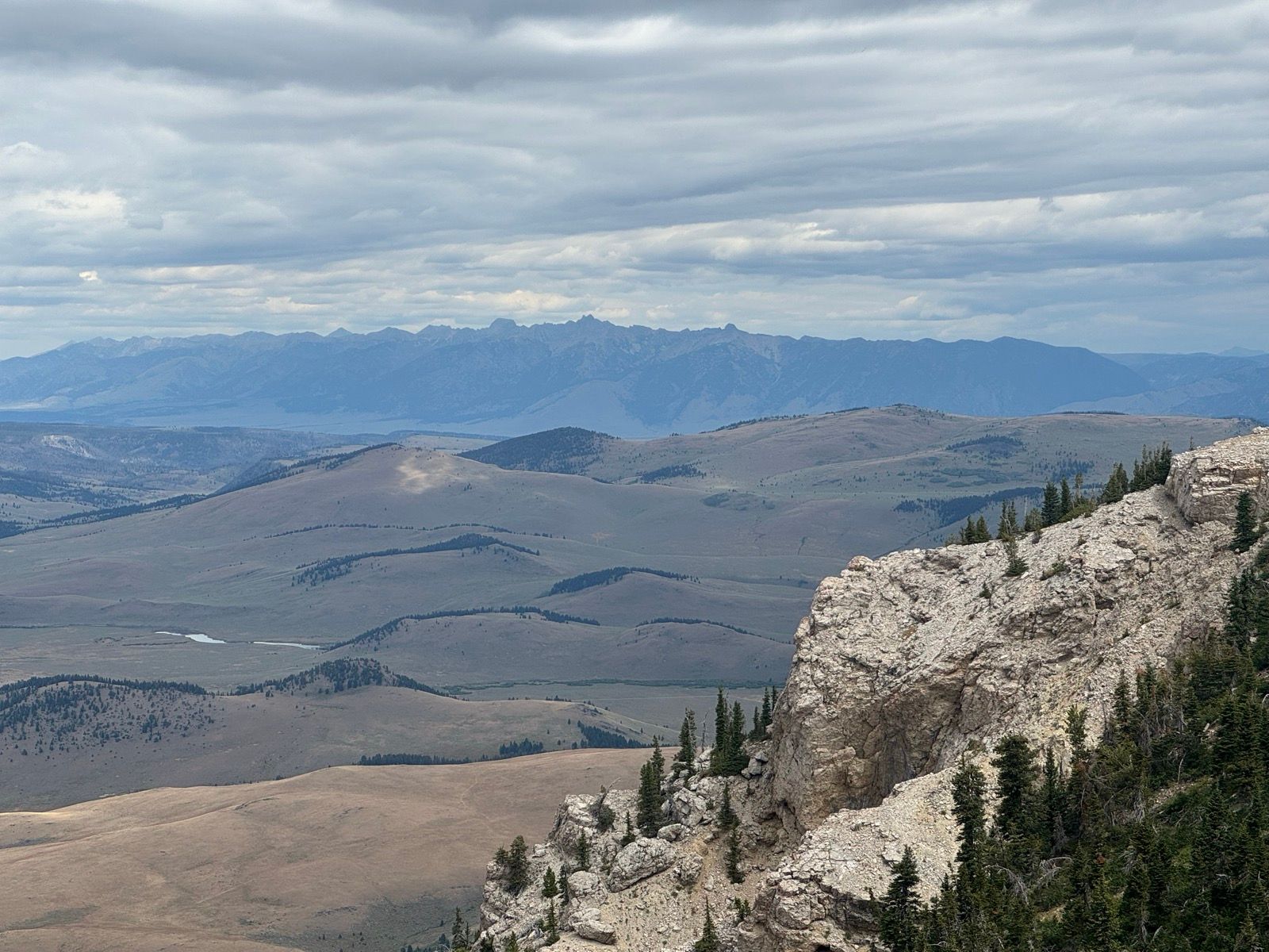
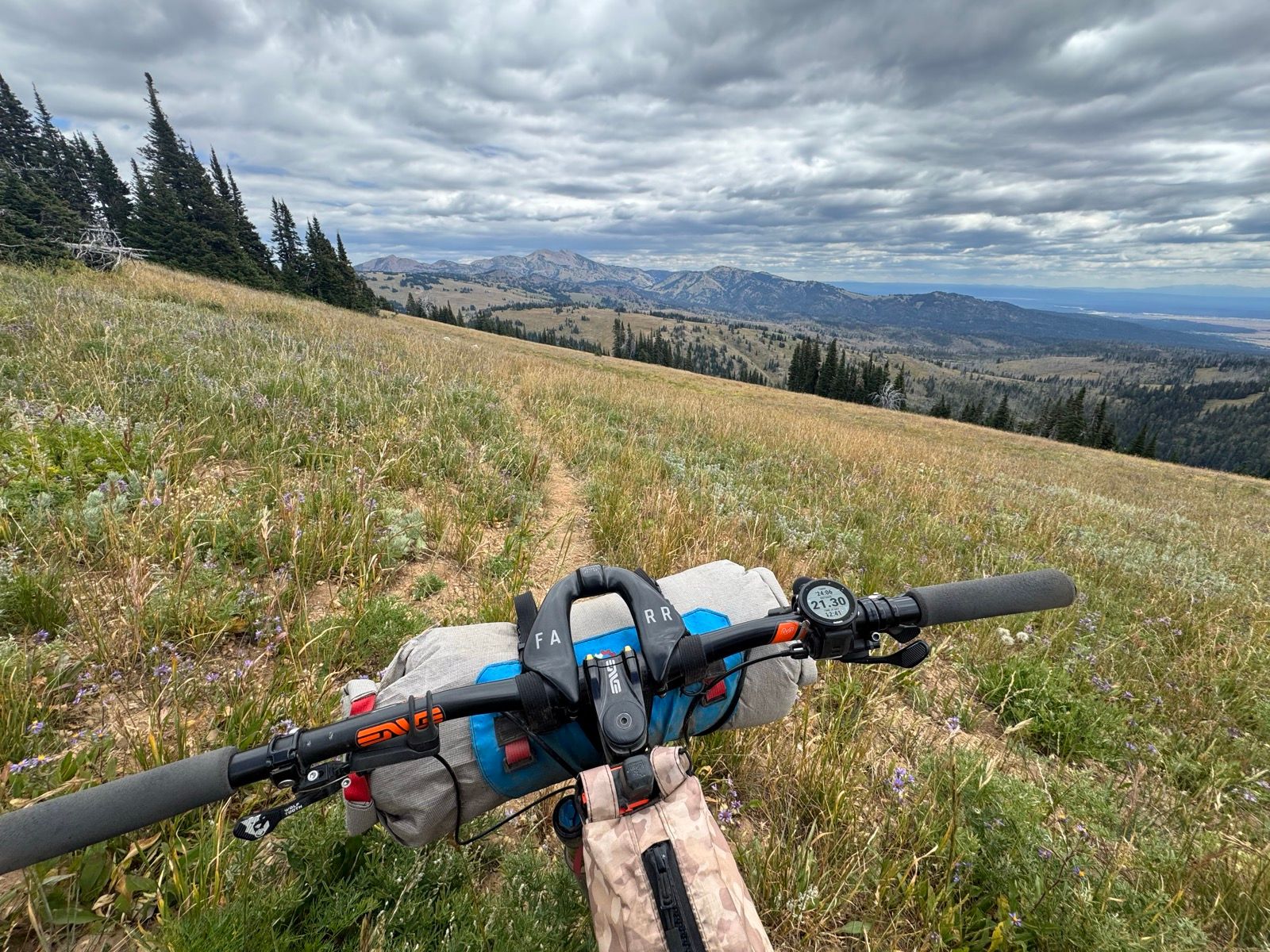
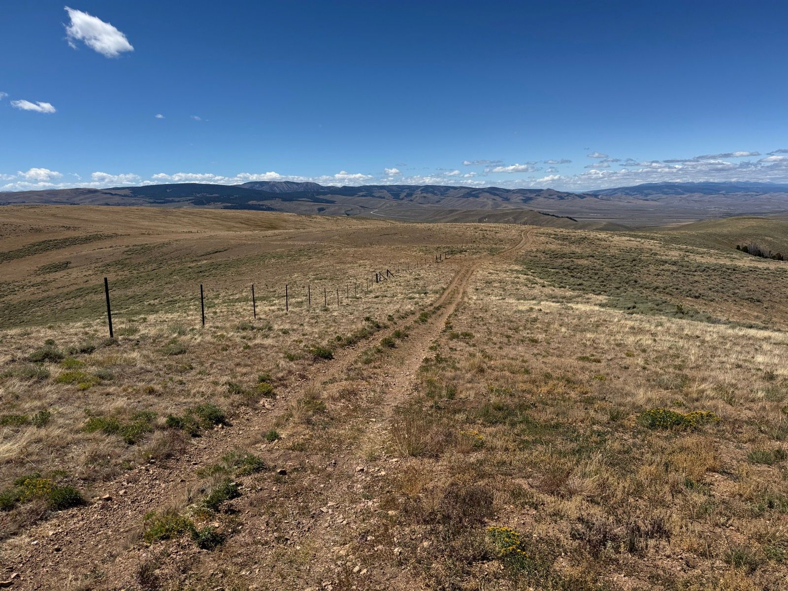
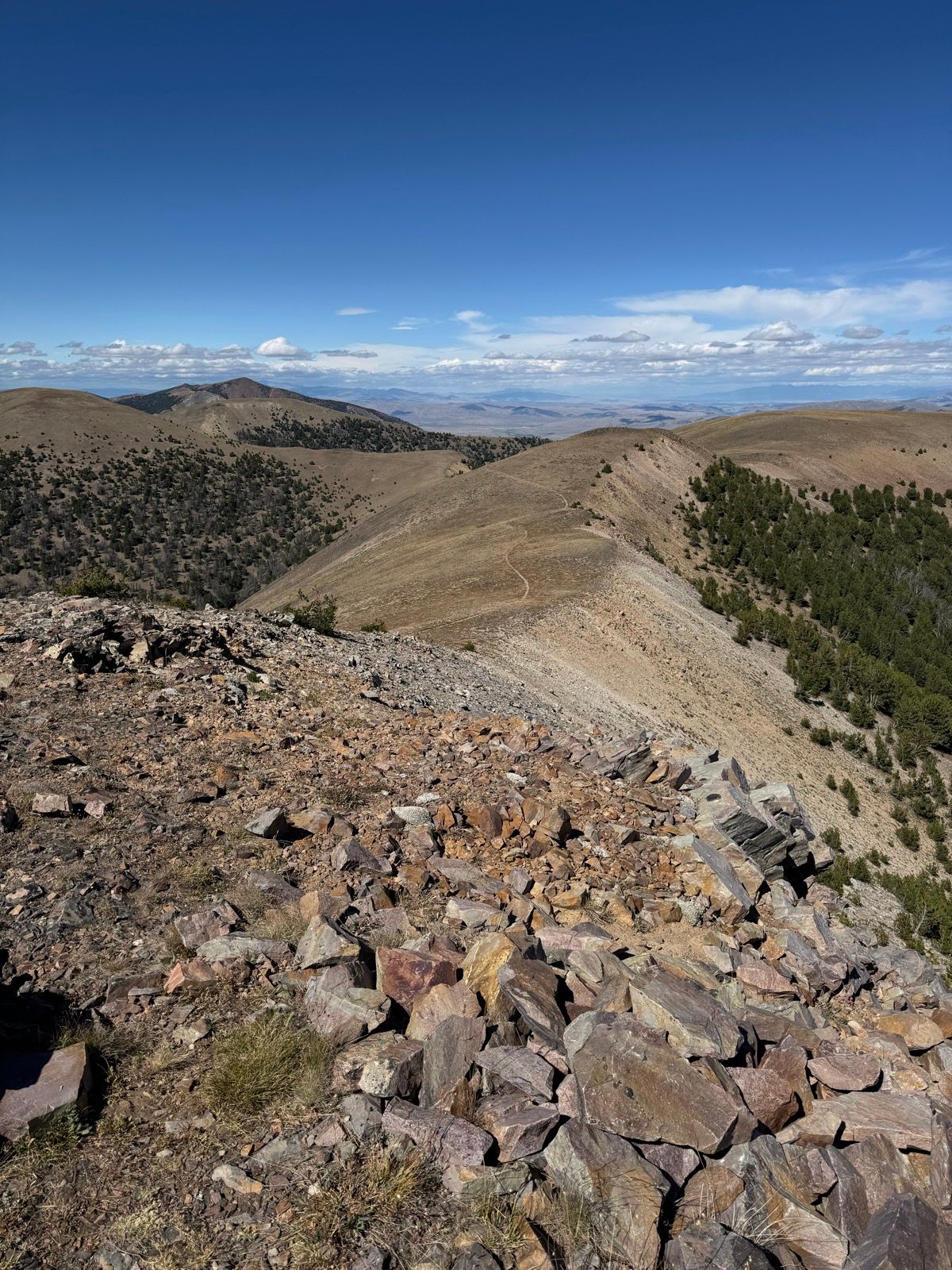
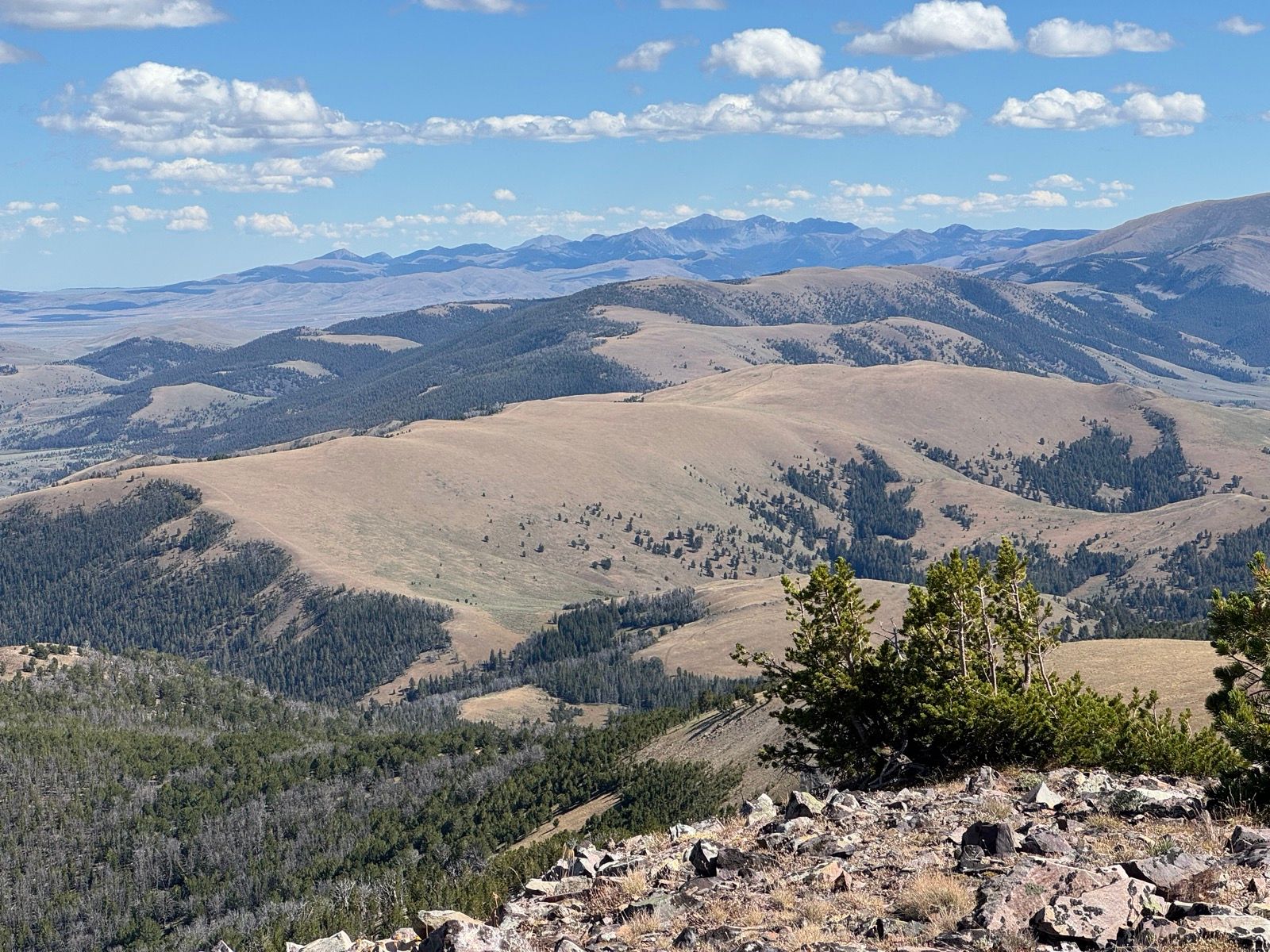
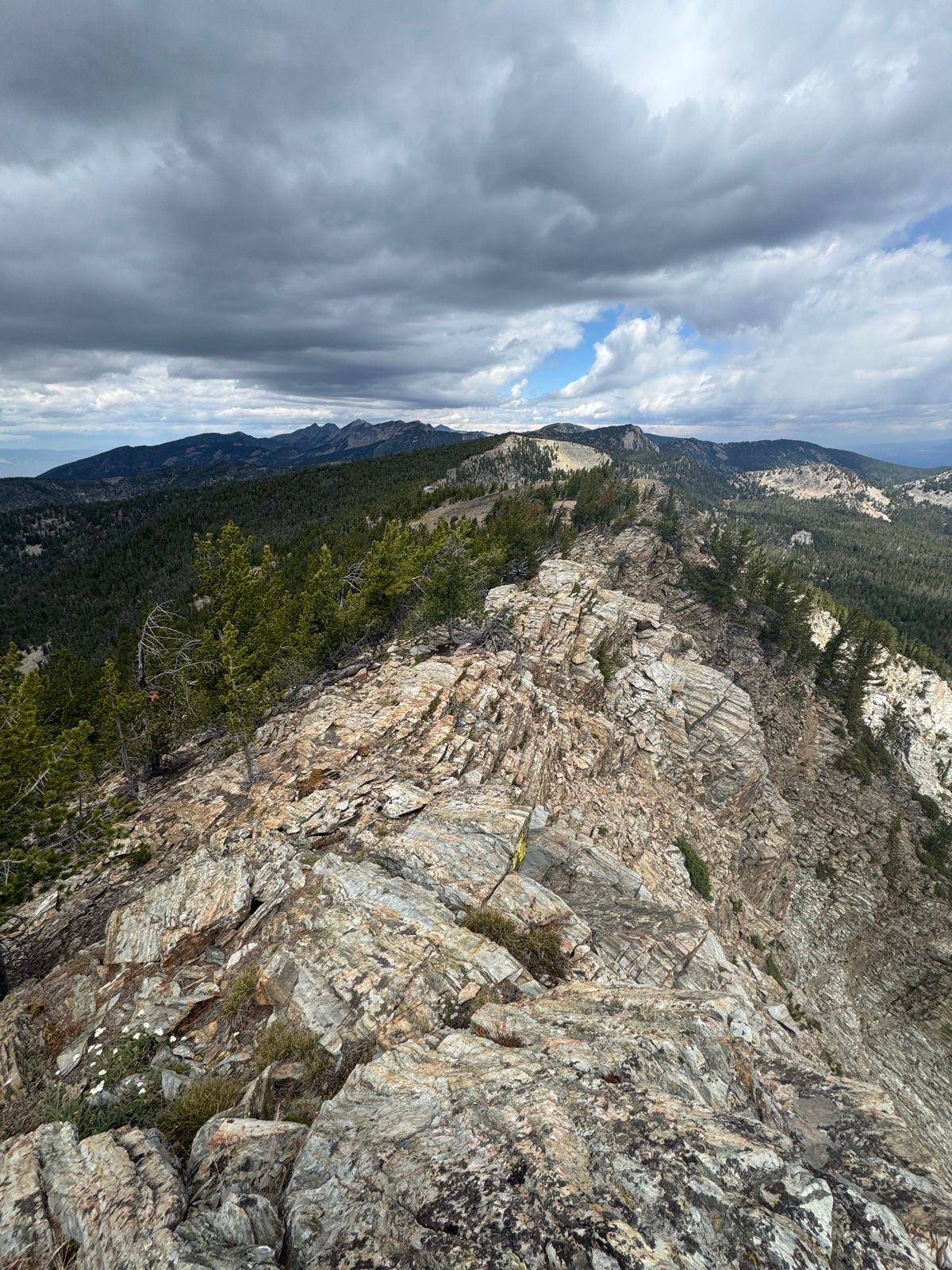
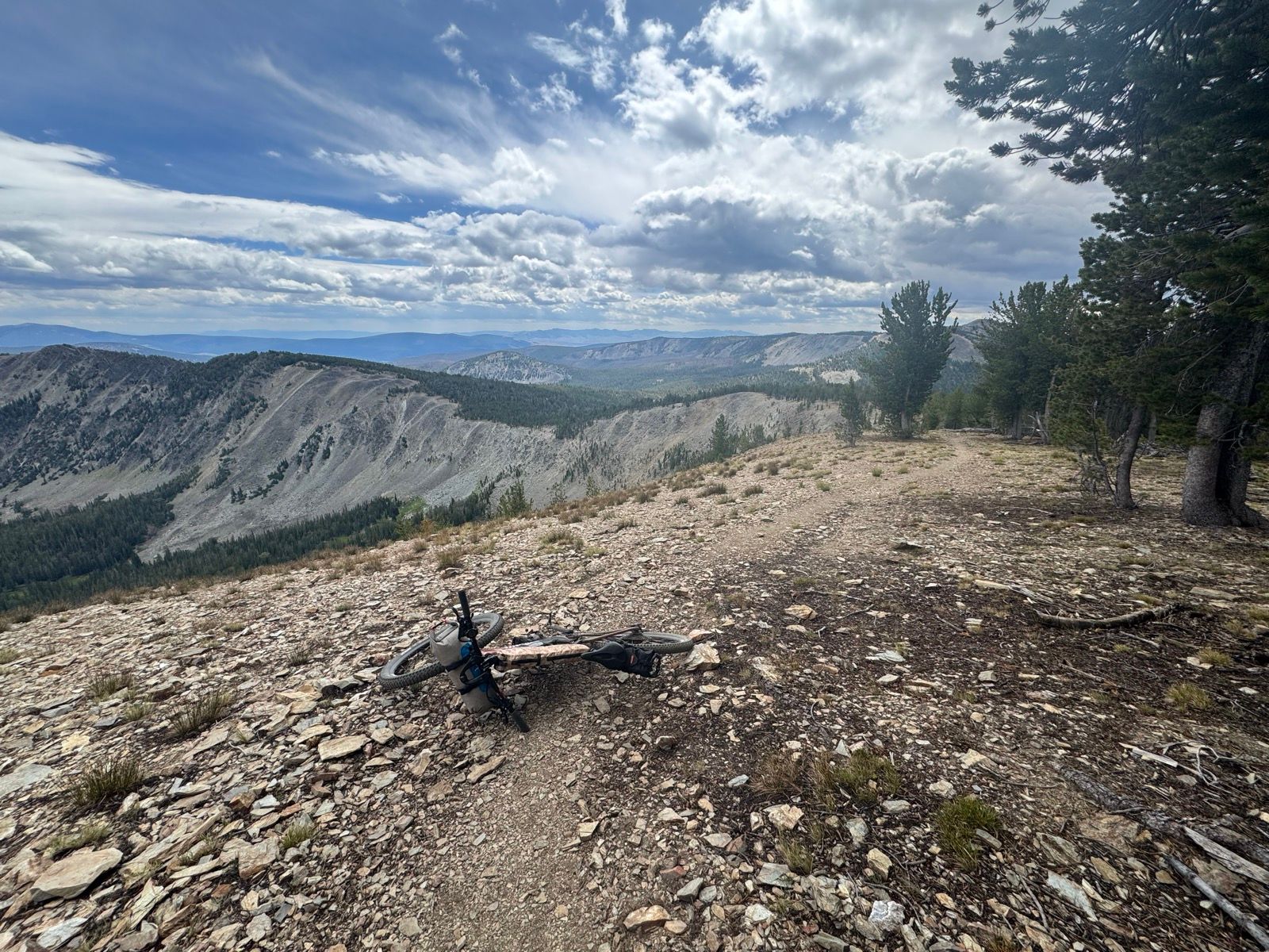
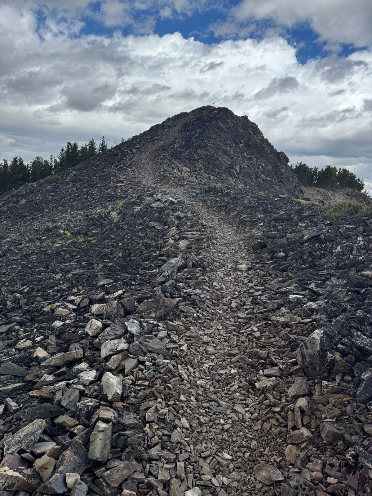
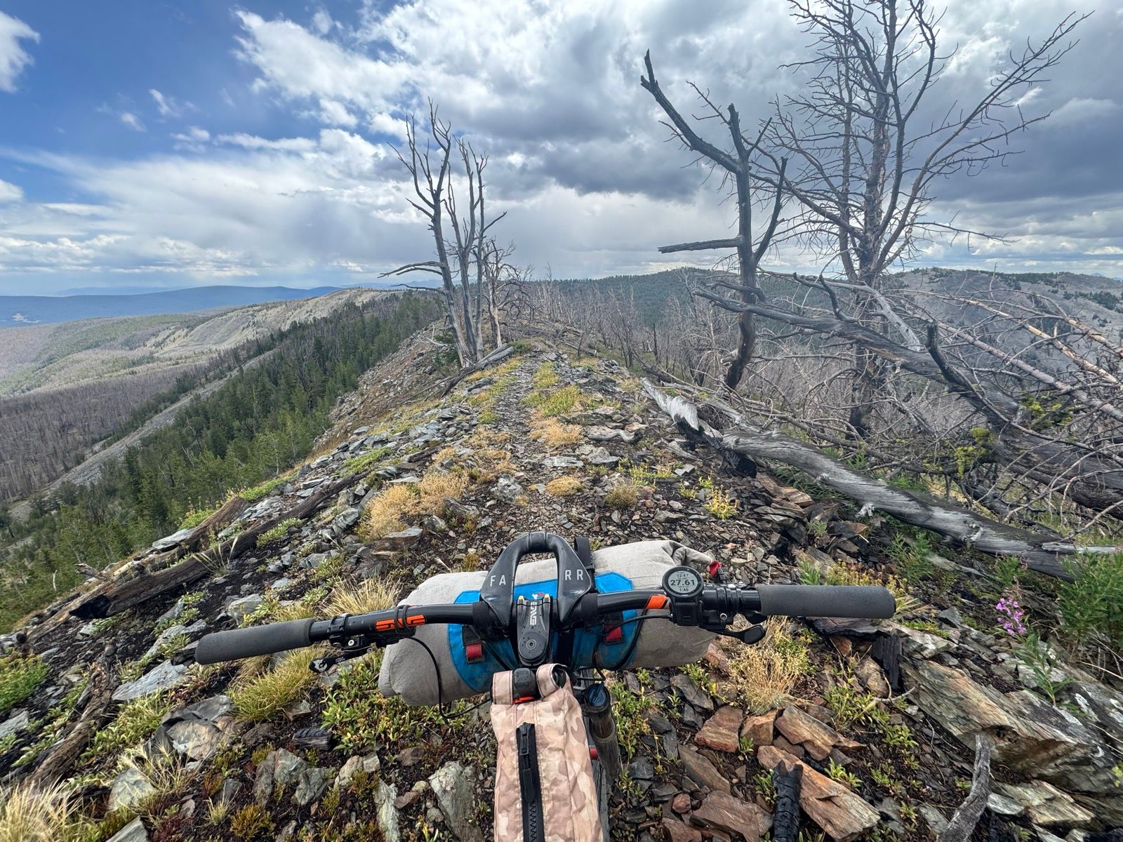
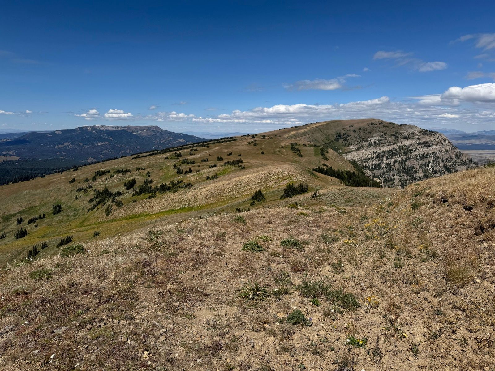
21: Eastern Centennials

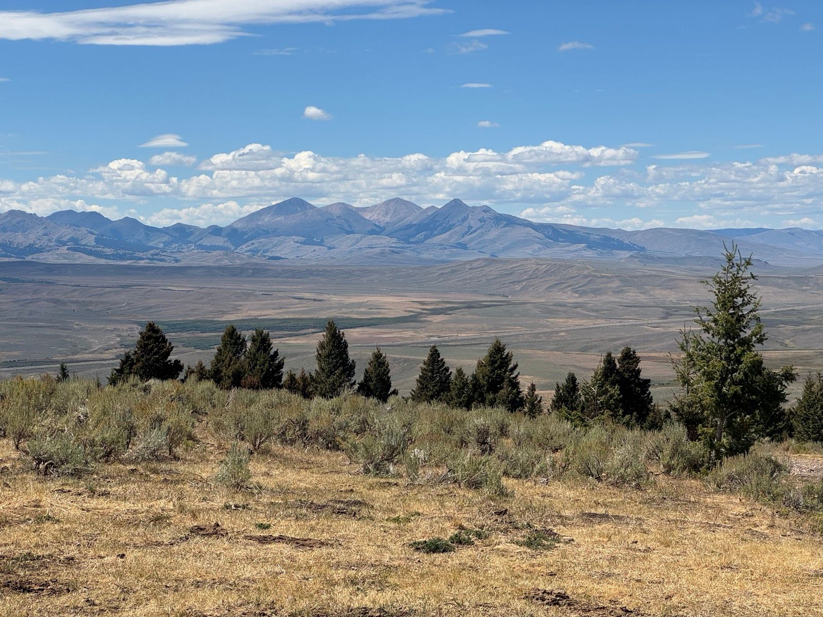
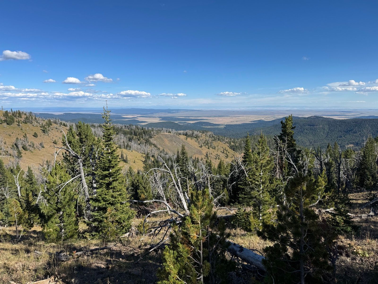
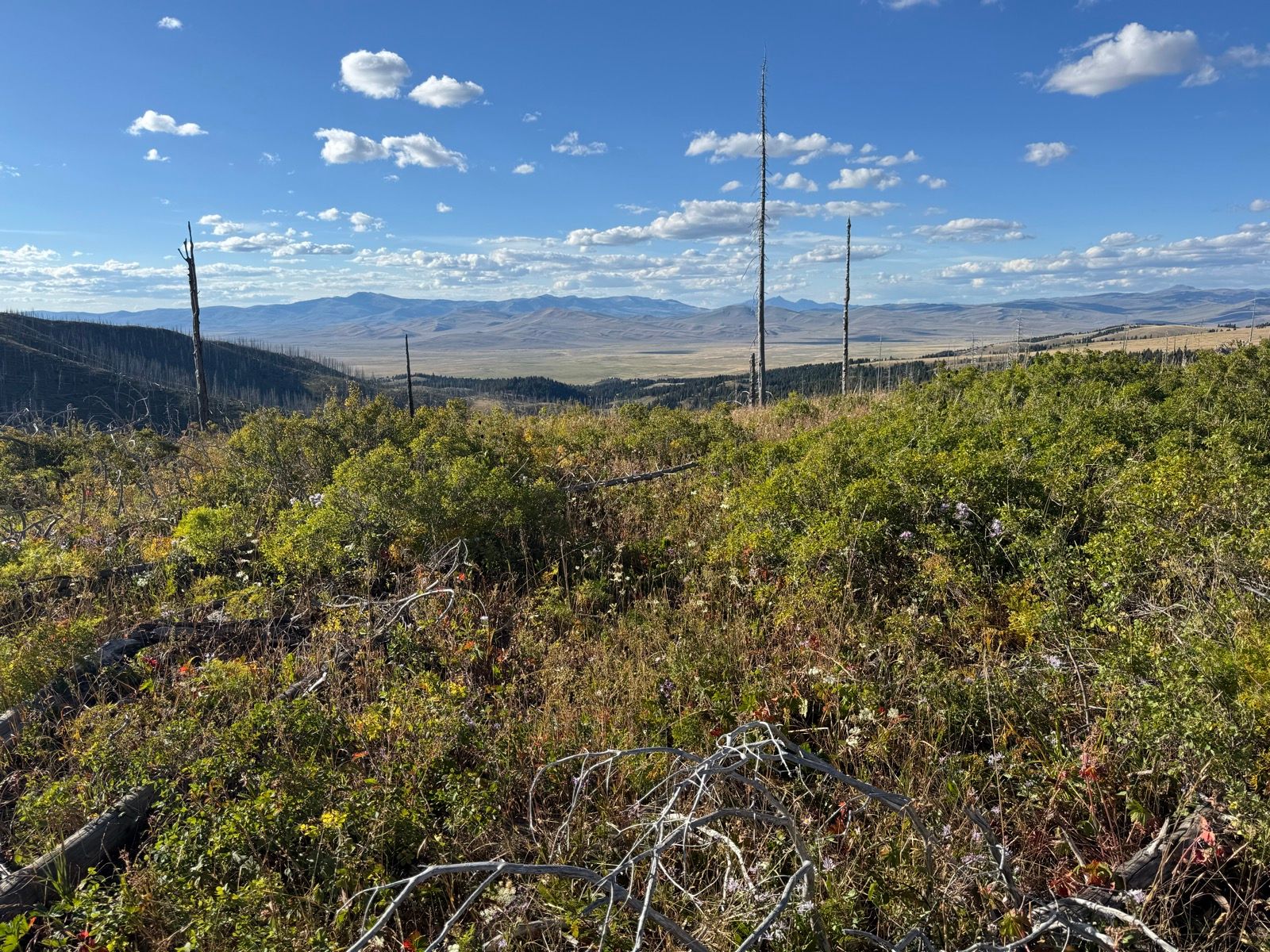
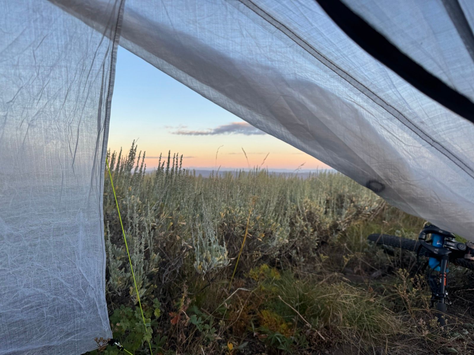
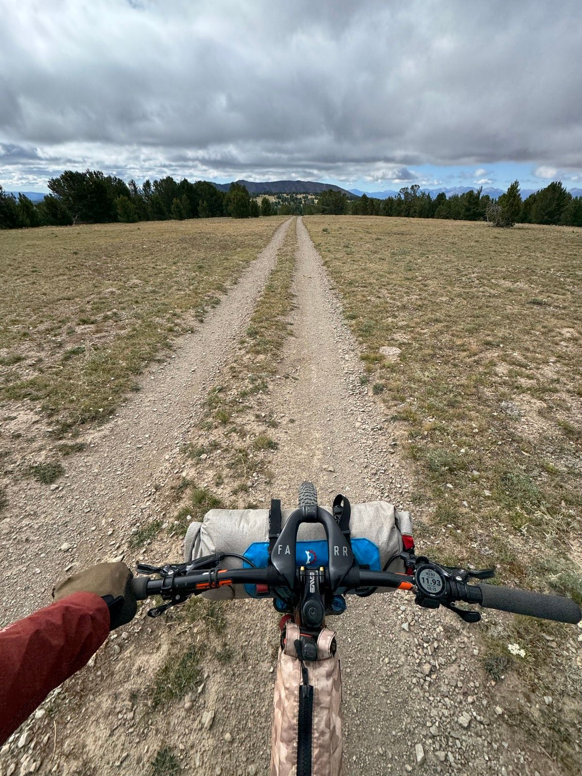
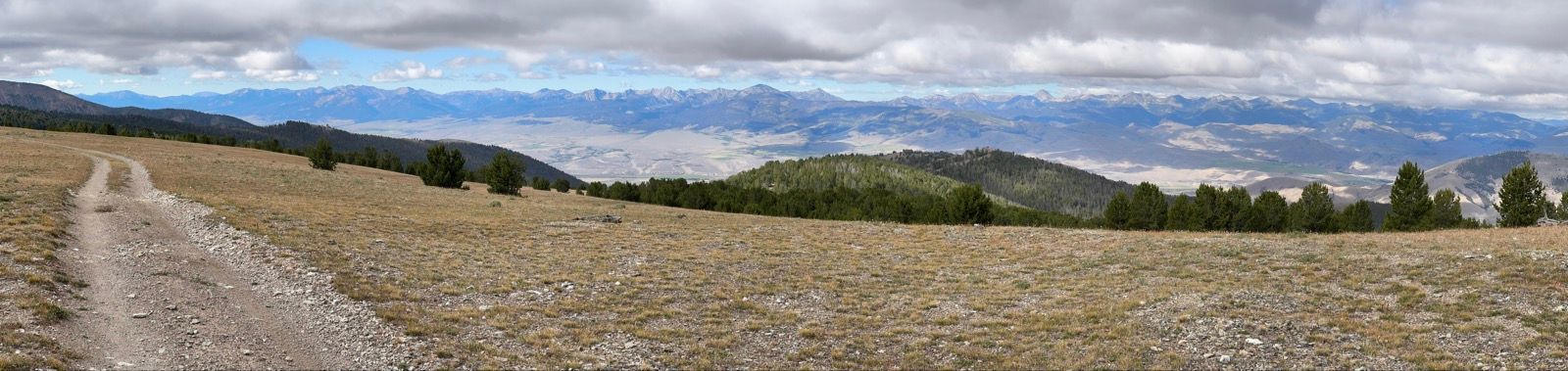
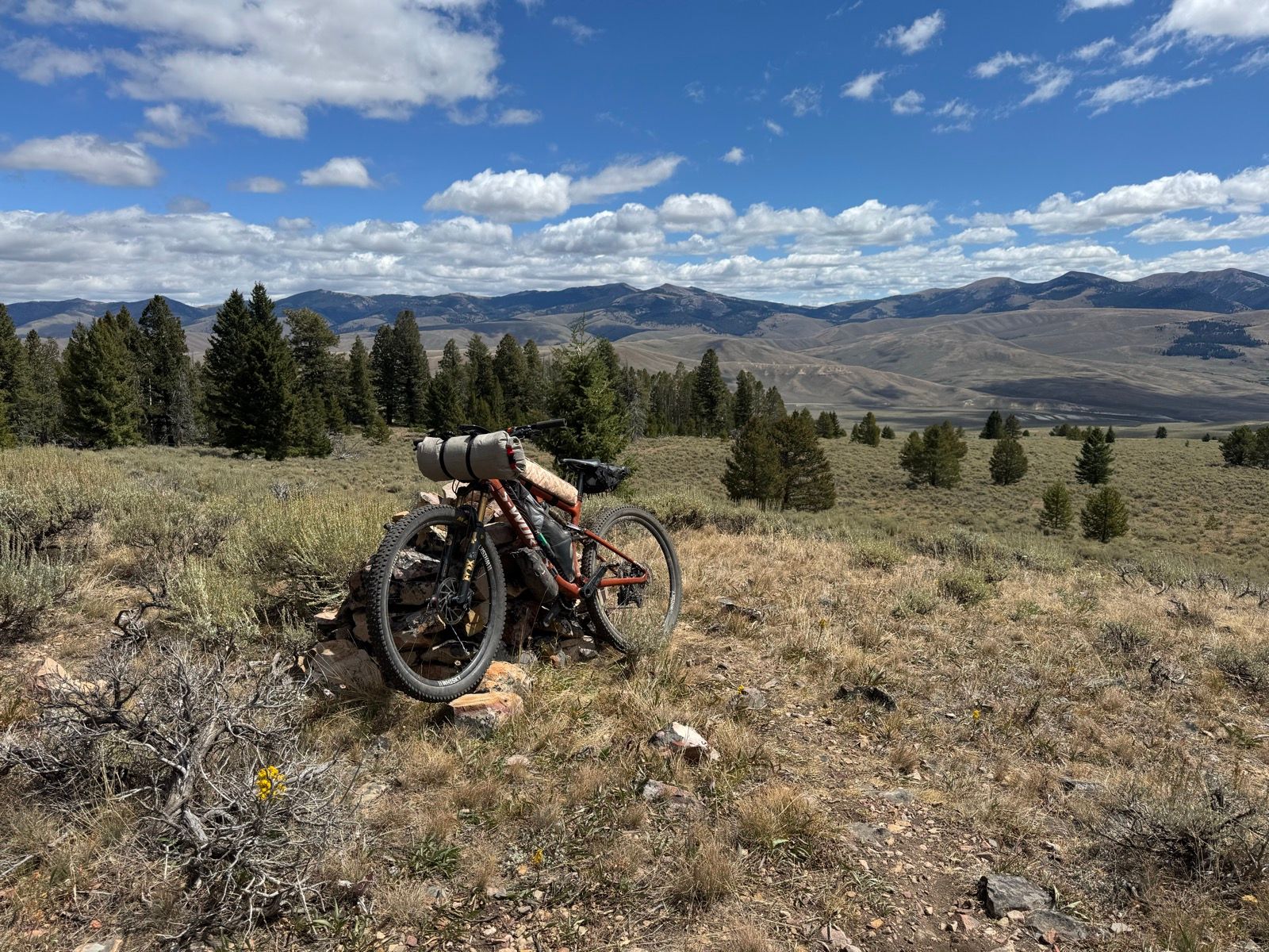
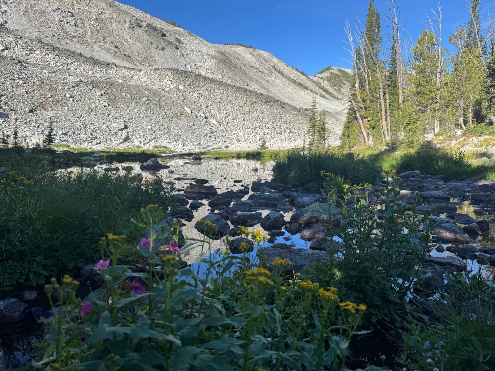
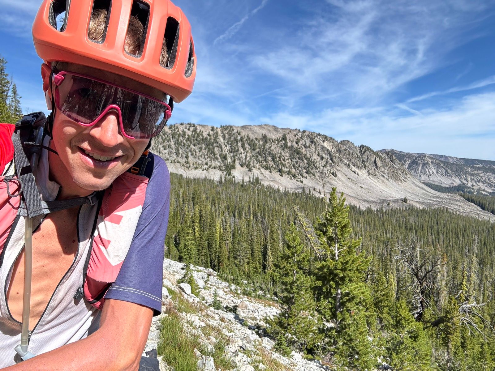
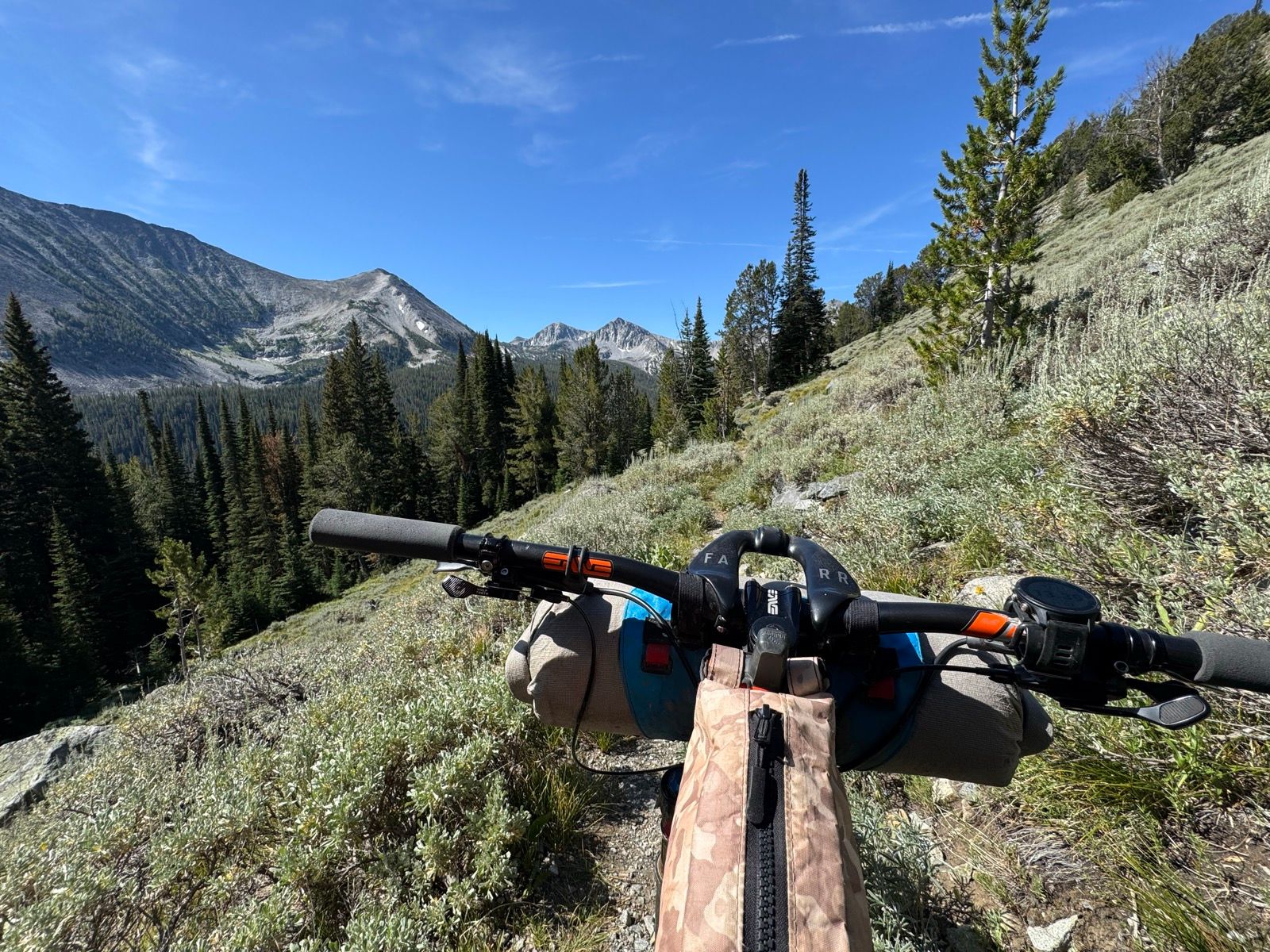
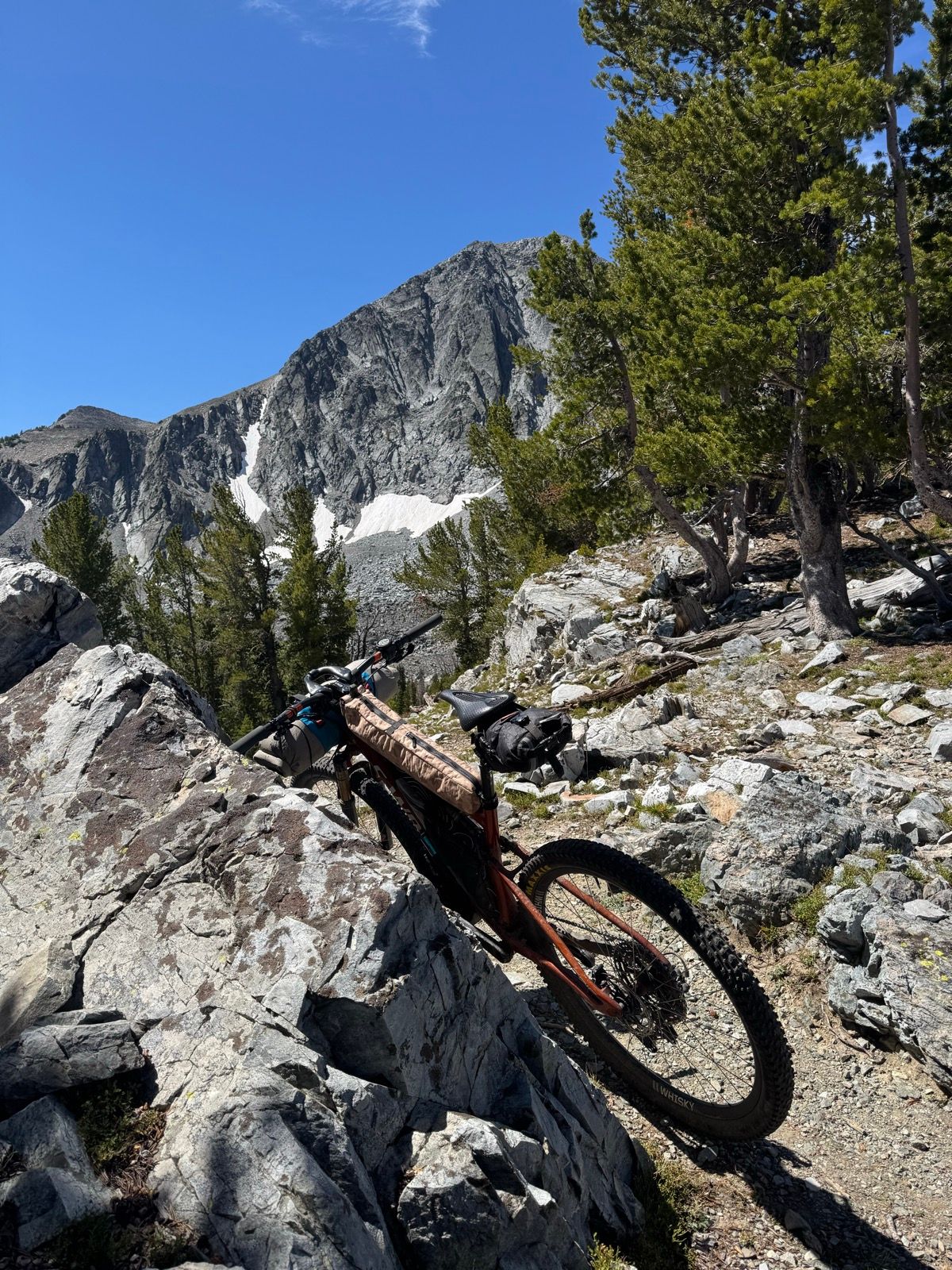
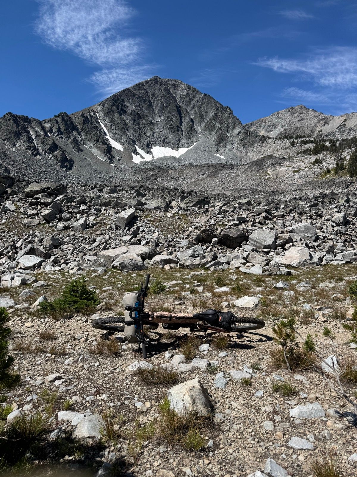
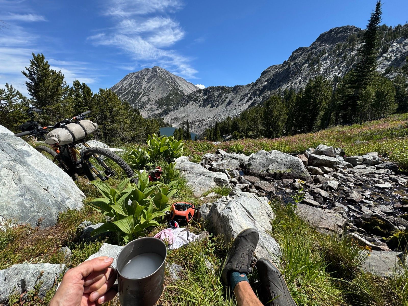
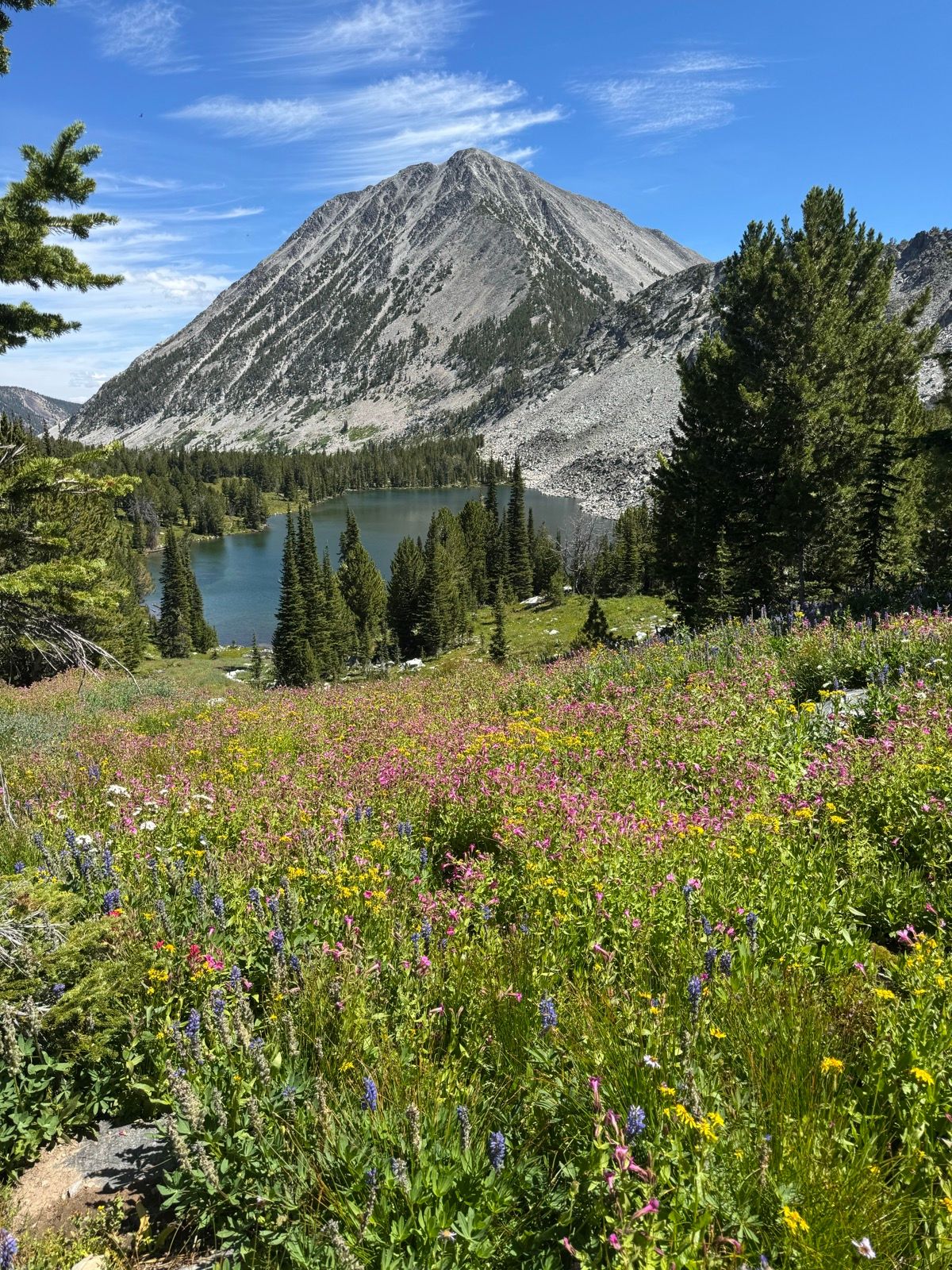
The eastern half of the Centennials proved far more enjoyable than the western, and not only because the trail was far more rideable. The views from the eastern side epic: the Tetons, Mount Holmes in Yellowstone, the Taylor Hilgard, the Snowcrest range, etc.
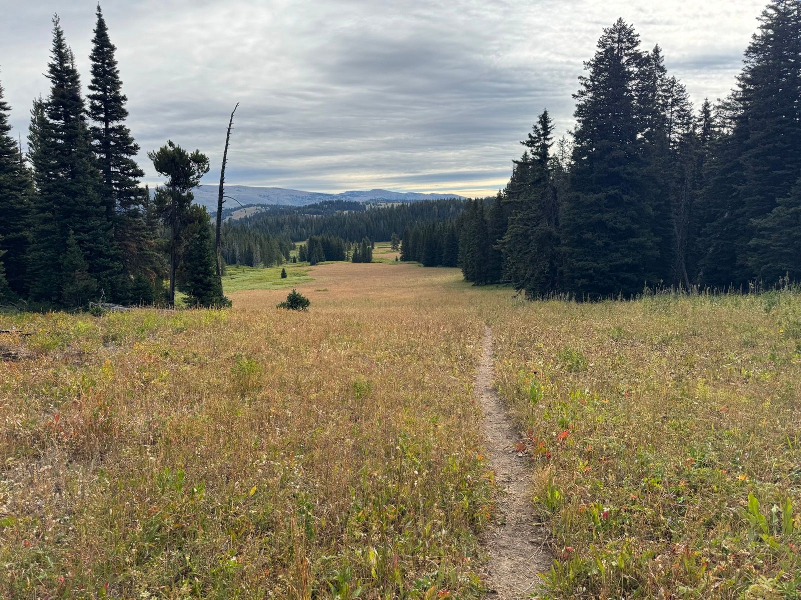
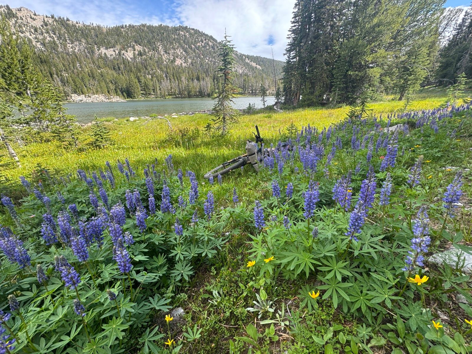
The trail consists of almost entirely rideable grades, and is generally smoother and faster. It is far less overgrown. Instead of sheep, I heard pikas. The raptors are abundant. All of the downed trees had been recently cleared. The wildflowers are perhaps equal in number, but are more vibrant on this side.
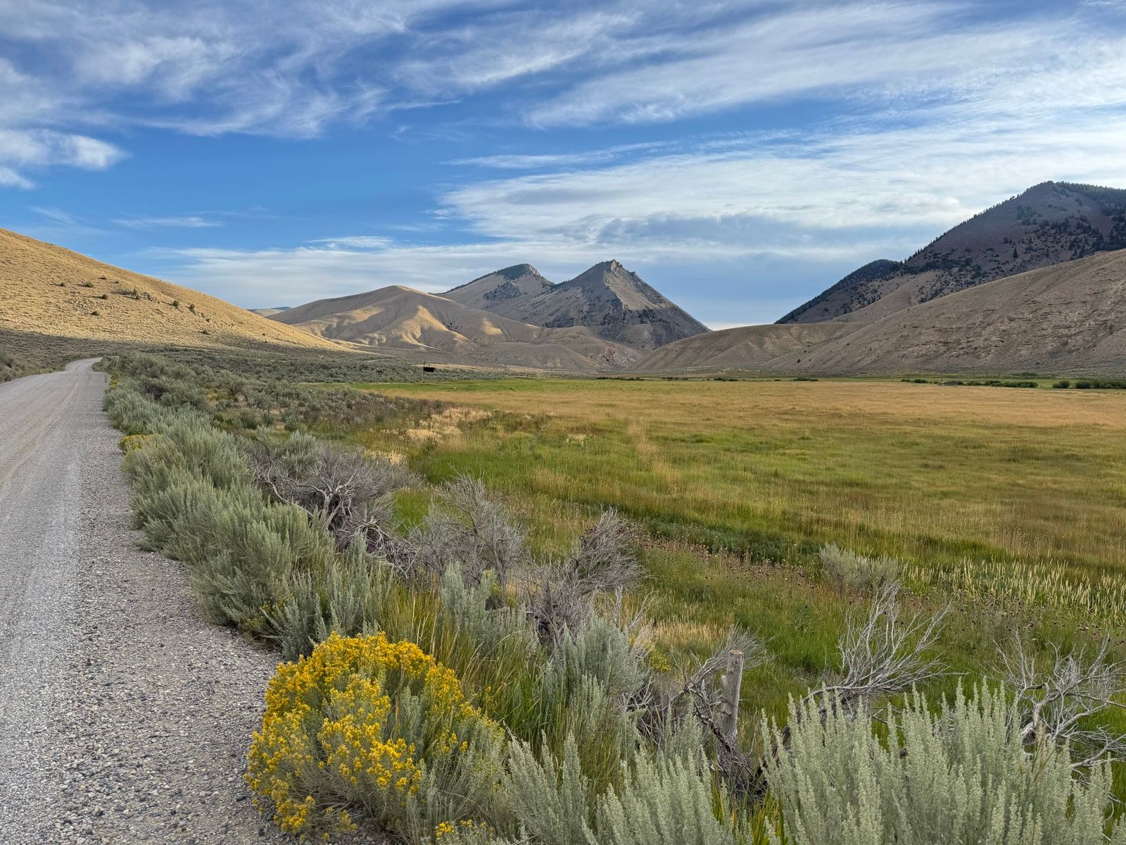
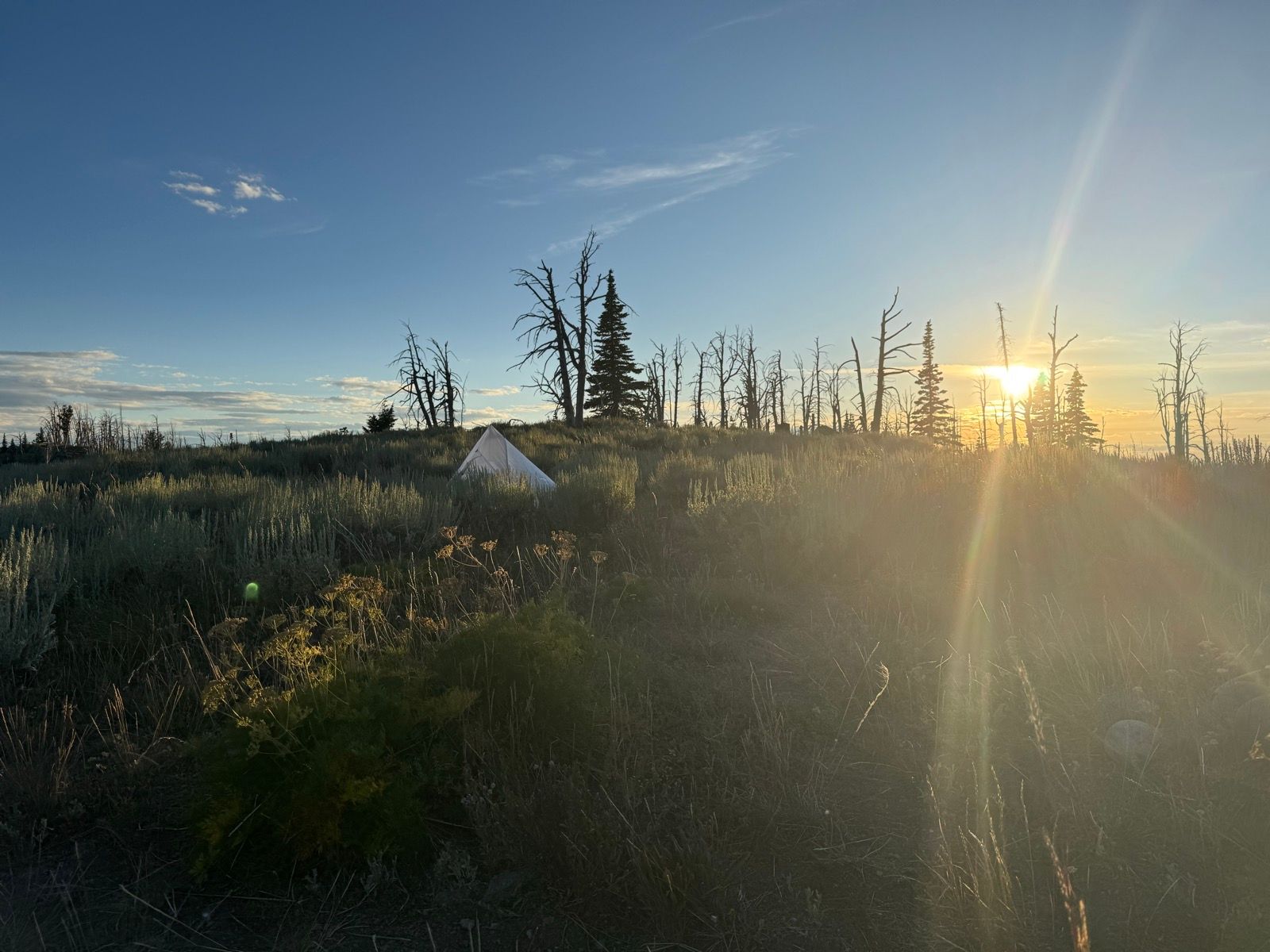
Overall, today’s alpine riding was excellent, and the roads in to Island Park favorable. I’ve cleaned my bike, my clothes, and myself. I’m off to the hot tub!