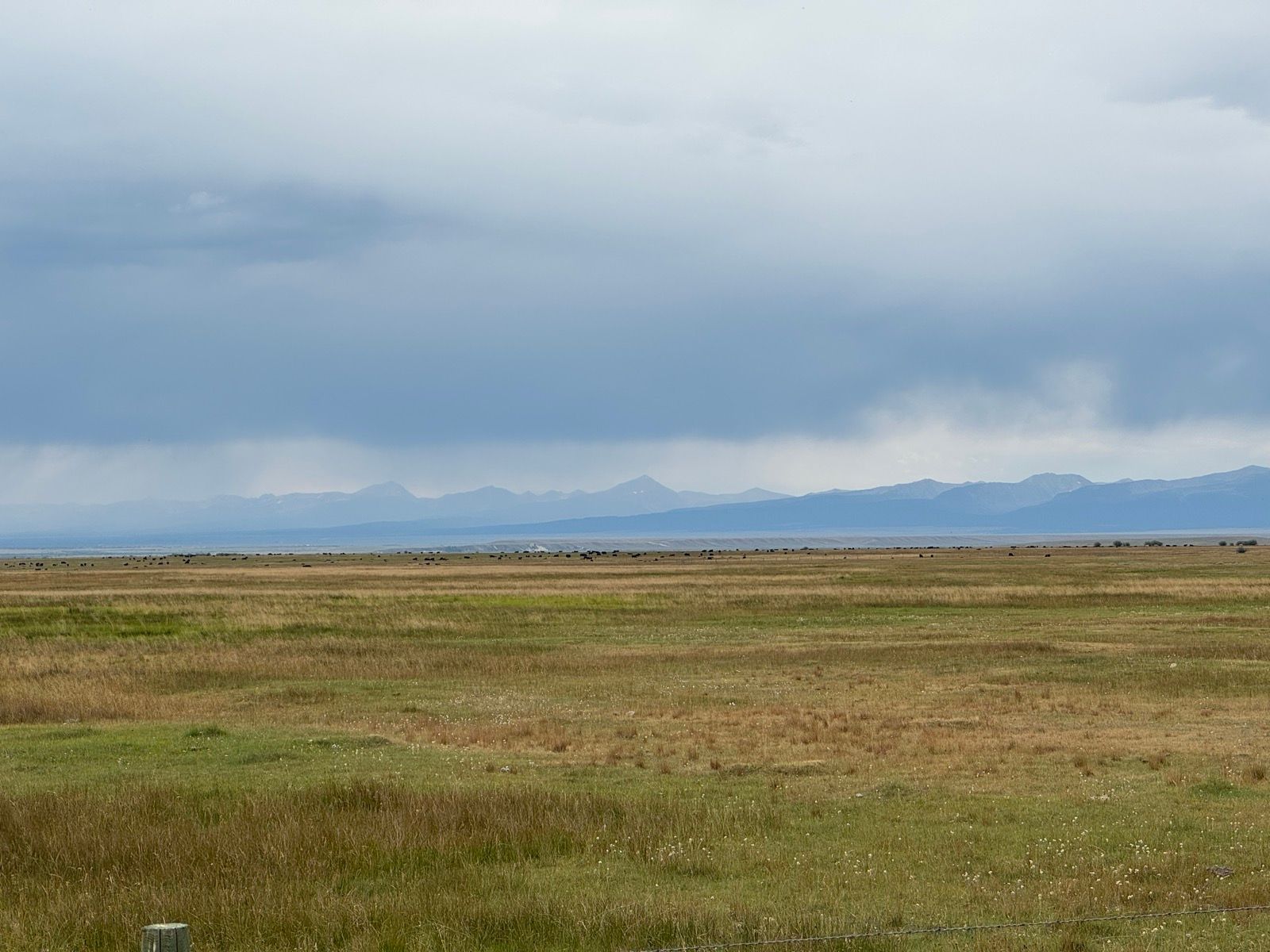
14: Pintlers and Big Hole
14: Pintlers and Big Hole
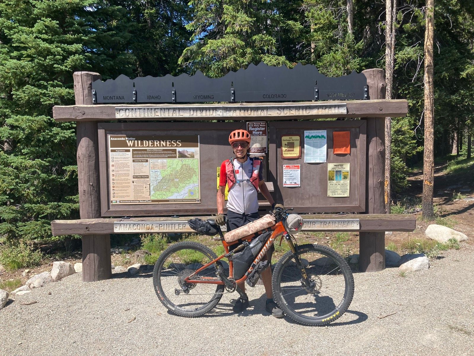
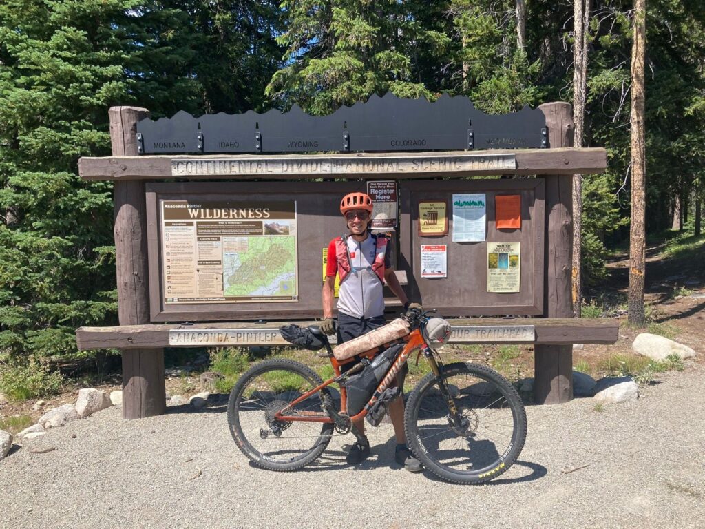
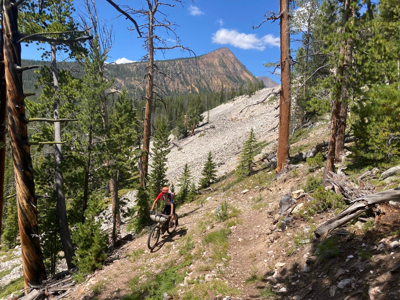
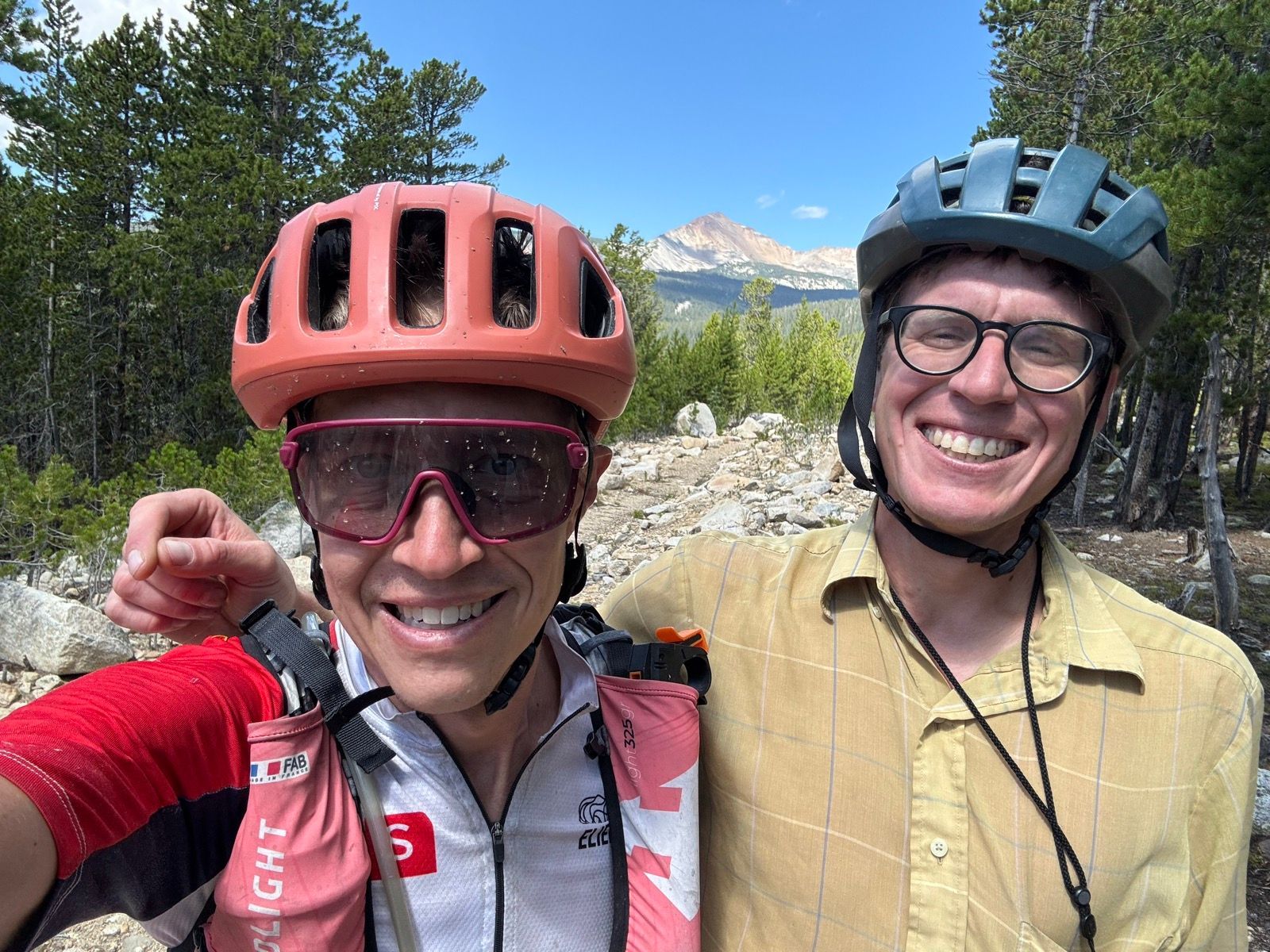
After camping high last night I rode down this morning to meet Sam who joined me for some miles today. We enjoyed a recently built stretch of CDT in the foothills of the Pintlers from S-569 to the trailhead for Seymour Lake. This well built stretch of trail is a bit rocky but overall pleasant and fun. H/T to Sam for the photos!
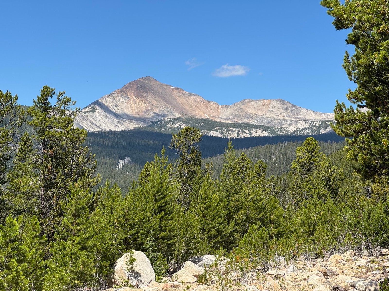
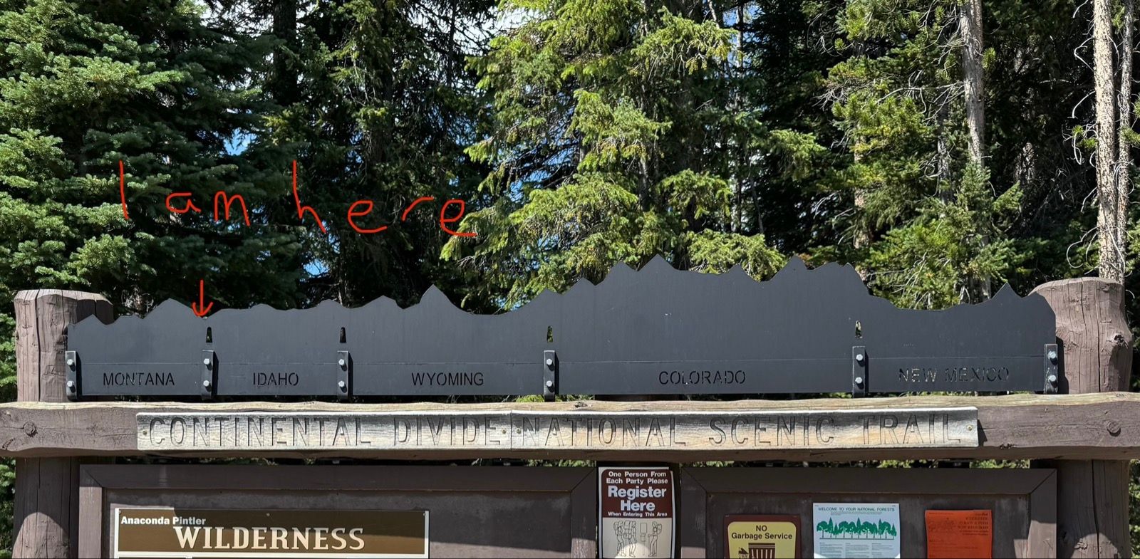
At the end of the trail, CDT hikers would turn west and continue up into the Pintler Wilderness. Instead, Sam and I turned our bikes south and after a few miles Sam split off onto the old CDT road section back to his car. So great to have some company for the day!
I’m riding in a loose self-supported style, meaning no outside assistance, but I’m definitely looking forward to seeing a few friends along the way.
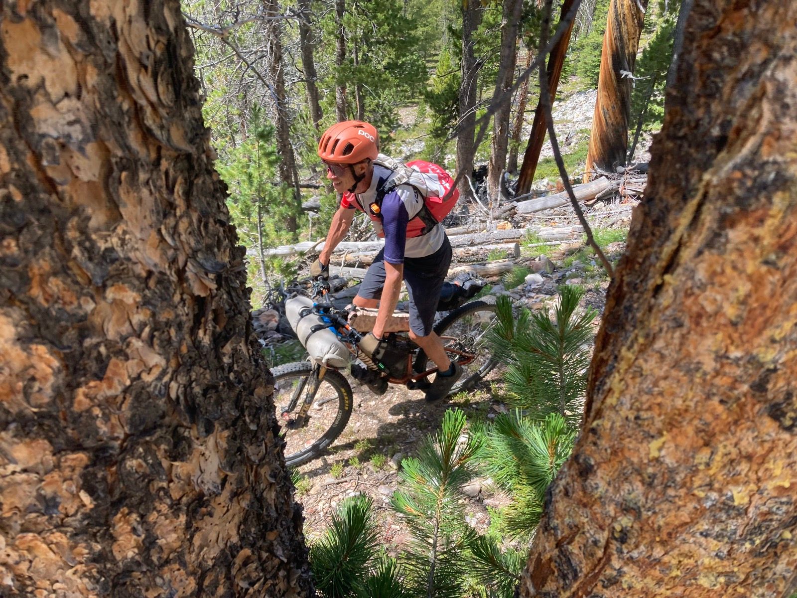
My route to Wisdom (resupply and wilderness reroute) connects together two roads with a random trail I found on a forest service map (the Lamarche Trail). This trail definitely exists (and has received somewhat recent maintenance), but the route finding was tricky and I mostly walked this section.
The remaining 35 miles to Wisdom felt interminable in anticipation of a beer and hamburger, despite the prettiness of the Big Hole valley.
Camped in a lovely free campground just outside of town maintained by the local American Legion.