CDT· By Mark Egge ·August 2, 2025

13: The Road to Wisdom Part 2

WhenAugust 2, 2025
Distance55.3 mi
Time12h 11m
Elevation Gain9806 ft
Elevation Loss8284 ft
Avg Speed5.8 mph

window.WPLeafletMapPlugin = window.WPLeafletMapPlugin || []; window.WPLeafletMapPlugin.push(function WPLeafletMapShortcode() {/**/ var baseUrl = atob('aHR0cHM6Ly97c30udGlsZS1jeWNsb3NtLm9wZW5zdHJlZXRtYXAuZnIvY3ljbG9zbS97en0ve3h9L3t5fS5wbmc='); var base = (!baseUrl && window.MQ) ? window.MQ.mapLayer() : L.tileLayer(baseUrl, L.Util.extend({}, { detectRetina: 1, }, {"subdomains":"abc","noWrap":false,"maxZoom":19} ) ); var options = L.Util.extend({}, { layers: [base], attributionControl: false }, {"zoomControl":true,"scrollWheelZoom":false,"doubleClickZoom":false,"fitBounds":true,"minZoom":0,"maxZoom":19,"maxBounds":null,"attribution":"Leaflet; \u00a9 OpenStreetMap contributors"}, {}); window.WPLeafletMapPlugin.createMap(options).setView([45.6623,-111.0401],12);}); -1;var is_safari=navigator.userAgent.indexOf("Safari")>-1;if(!is_chrome&&is_safari&&controlElevation.options.preferCanvas!=false){console.log("is_safari - setting preferCanvas to false");controlElevation.options.preferCanvas=false;} controlElevation.load(track_options.url);});

Download GPX

13: The Road to Wisdom Part 2

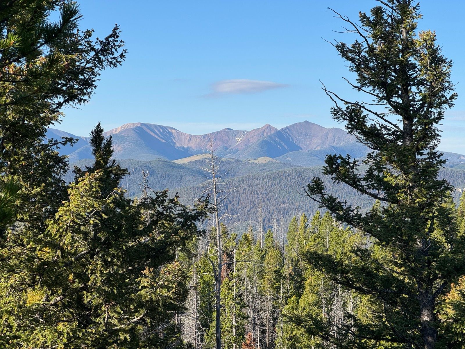
A bit of a low energy/flat affect day. Spent the first half of the day riding trails that, as part of the Butte 100 course, I have now written four times in as many weeks.

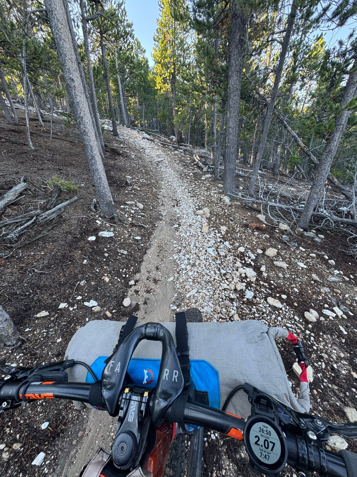
Descended out of the Highlands in the early afternoon and began the climb up the other side. After a few miles of ATV trail, the route surprised me by turning into mostly singletrack for the rest of the day.

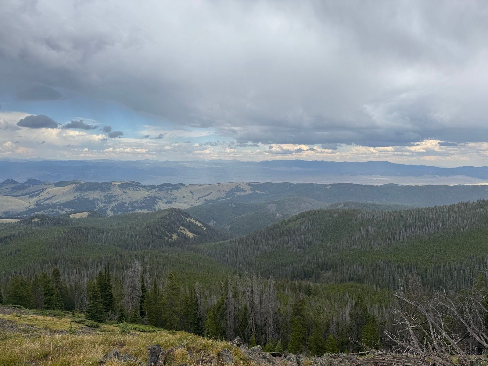
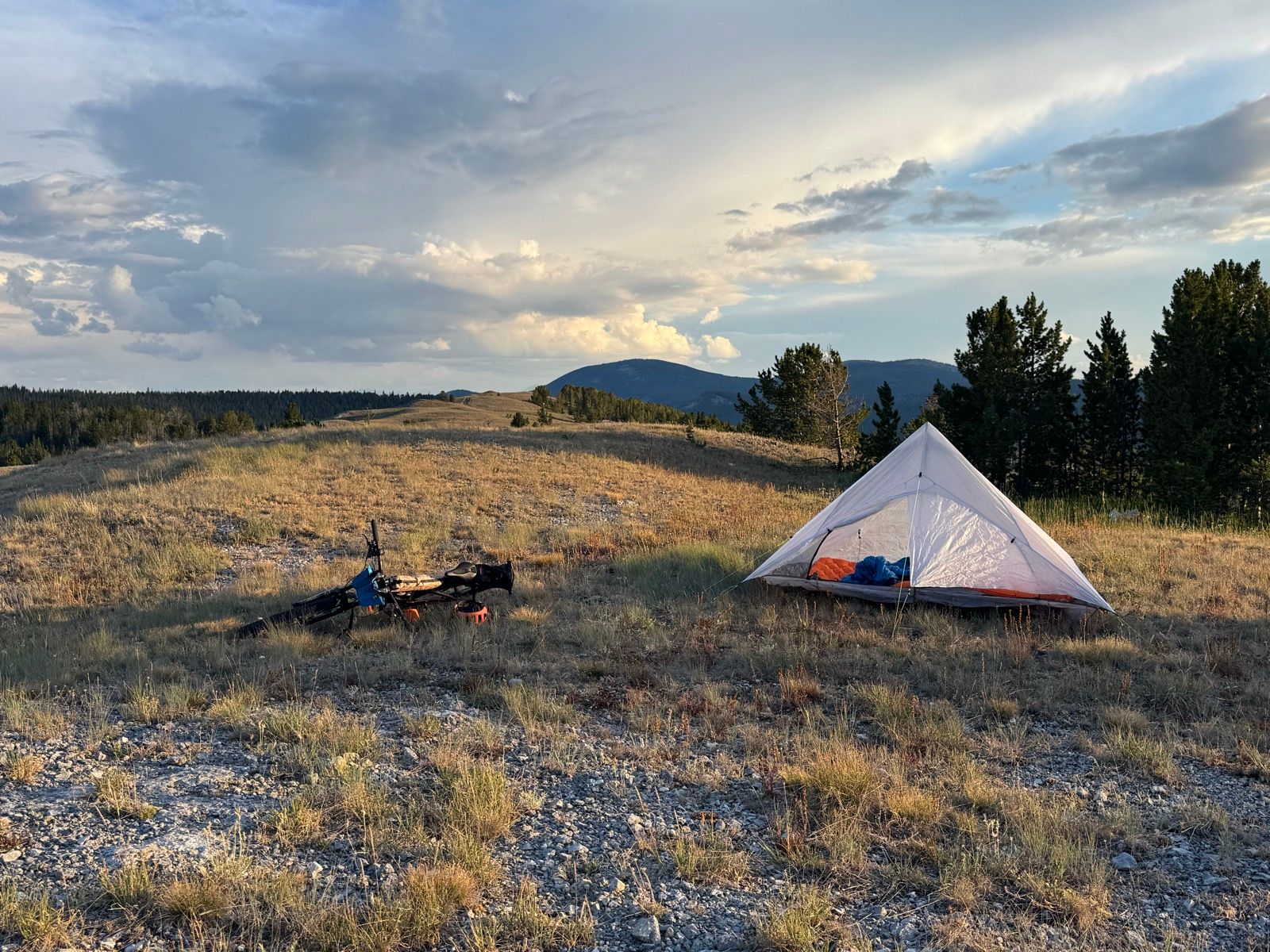
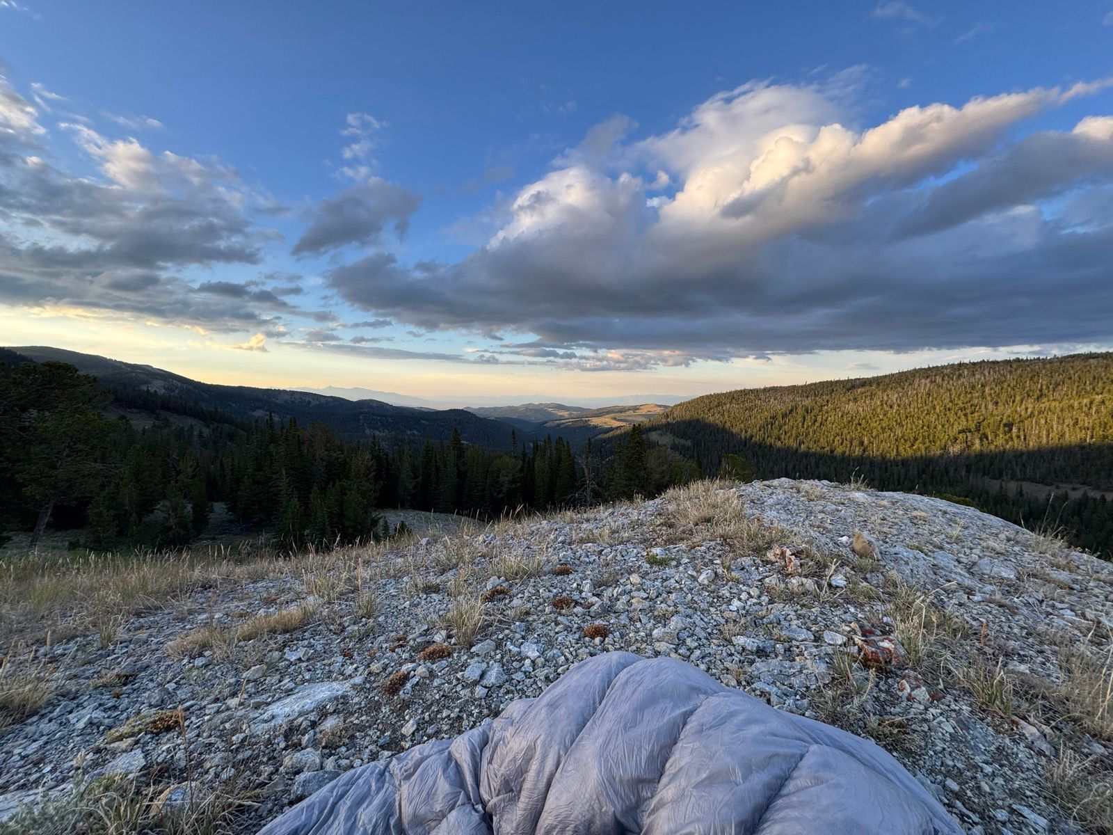
Perched up on a lovely hill this evening overlooking the Deer Lodge Valley. Somehow the Bear Gulch to Fly Creek section wasn’t on my radar/map, so missed that short section of singletrack.

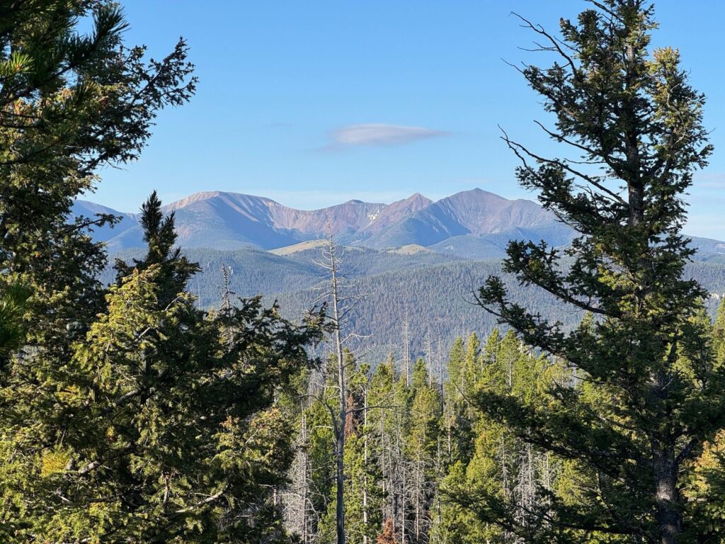
Listening to: Recursion by Blake Crouch

View on Strava

Tagged bikepacking CDT