66: Fin
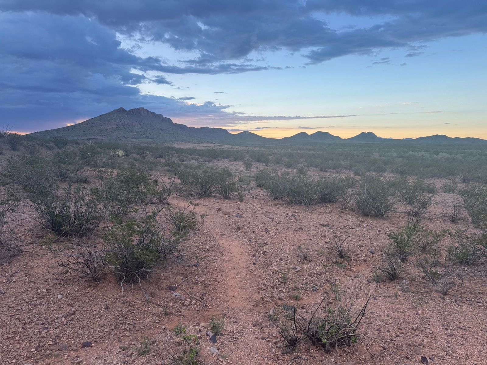
Waking early, I was on the trail comfortably before sunrise, eager to make some miles in the cool of the day. My day began with delightful singletrack winding through the desert and between knobs and bluffs, with rain clouds on the distant horizon and a bit of lightning adding drama to a gorgeous sunrise. These are very much moments and miles to savor.
By midday the heat set in, 90°F+, under an unrelentingly sun. Being utterly alone in the landscape (I filled my water in the early afternoon from a spiderweb-covered CDT water cache, where the log book indicates I was the first visitor since the last of the NOBO hikers in April), I stripped down boxers and shoes in hopes of keeping a bit cooler and evening out the outrageous farmer’s tan I’ve developed over the last two months.
While predominantly road the last 30 miles along the Hatchet Mountains, the road surface was rough and slow going. The final mountain pass consists almost entirely of a rocky wash. The final two miles to the border continued the pattern of intermittently discernible trail, but passing through several areas of some terrible week, grown up like densely planted corn stalks. Reaching these thickets, there was nothing to do but push straight in, with the weeds often above my head and producing almost a sense of claustrophobia when standing still, and enduring the scratch and pull of 1000 rough weeds dragging on every exposed bit of skin, and just push through, bellowing like a bull, and trusting that I would eventually emerge from the other side. And eventually, indeed, I did, sweaty skin covered in dry plant matter like I’d been tumbling in the bottom of a hay pile.
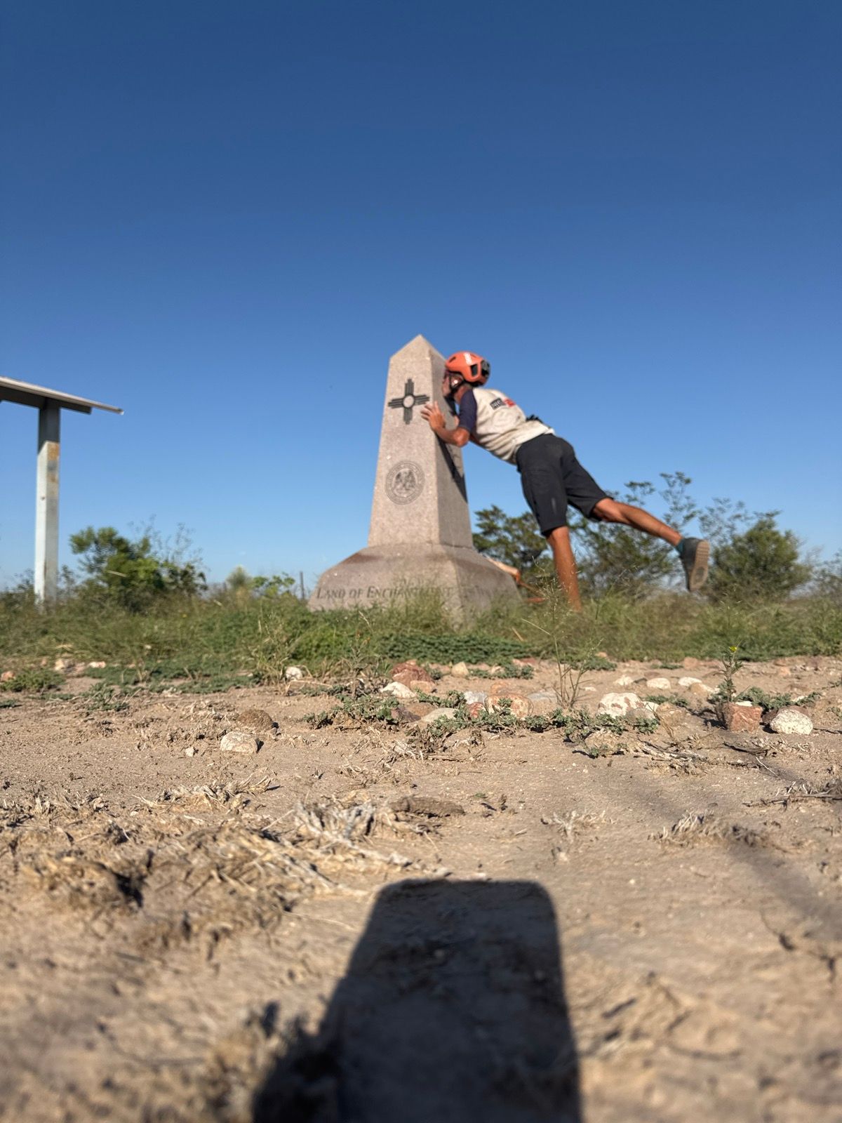
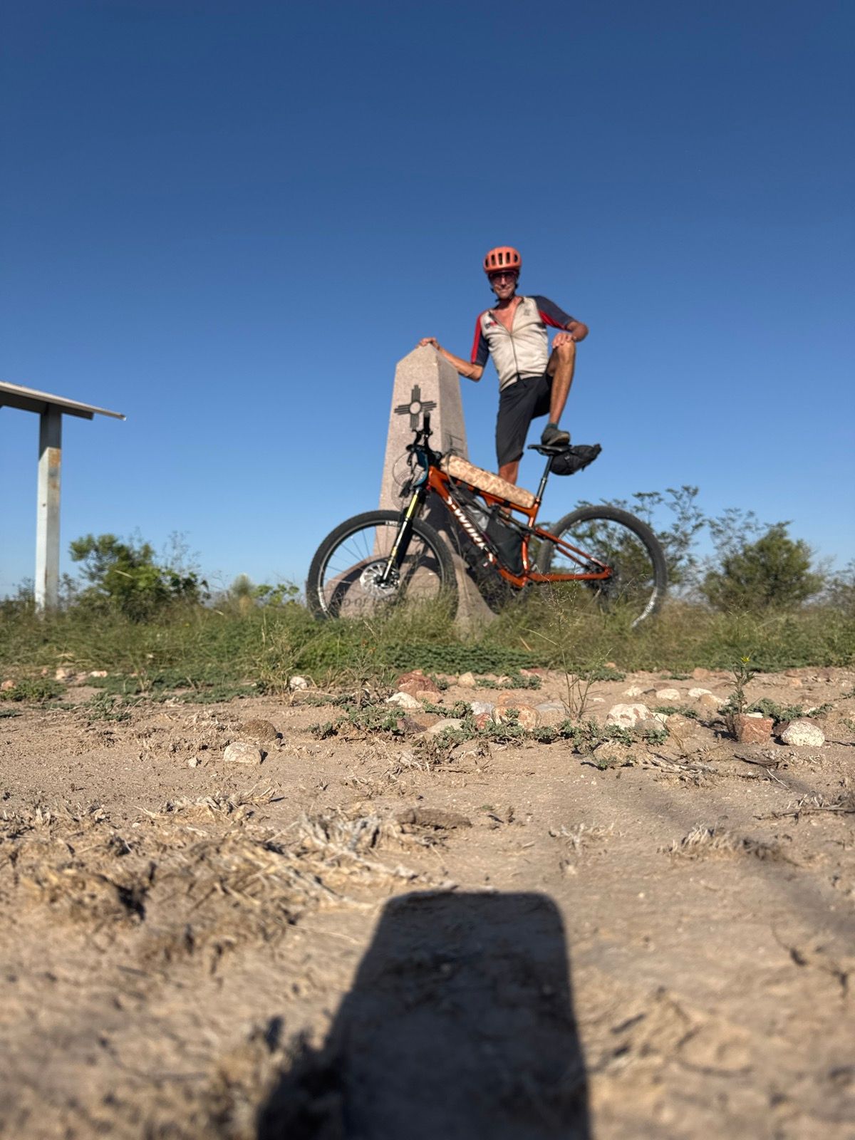
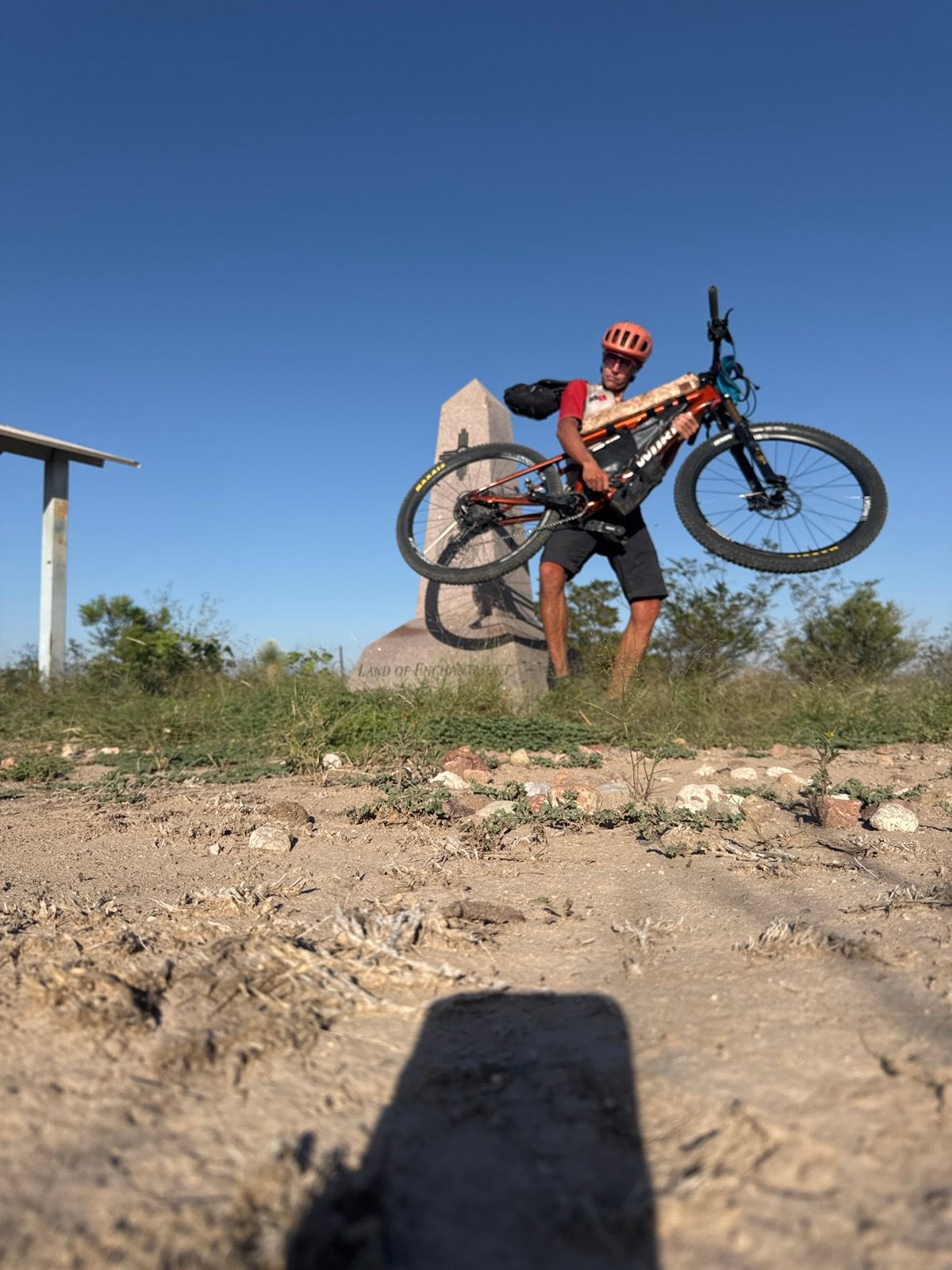
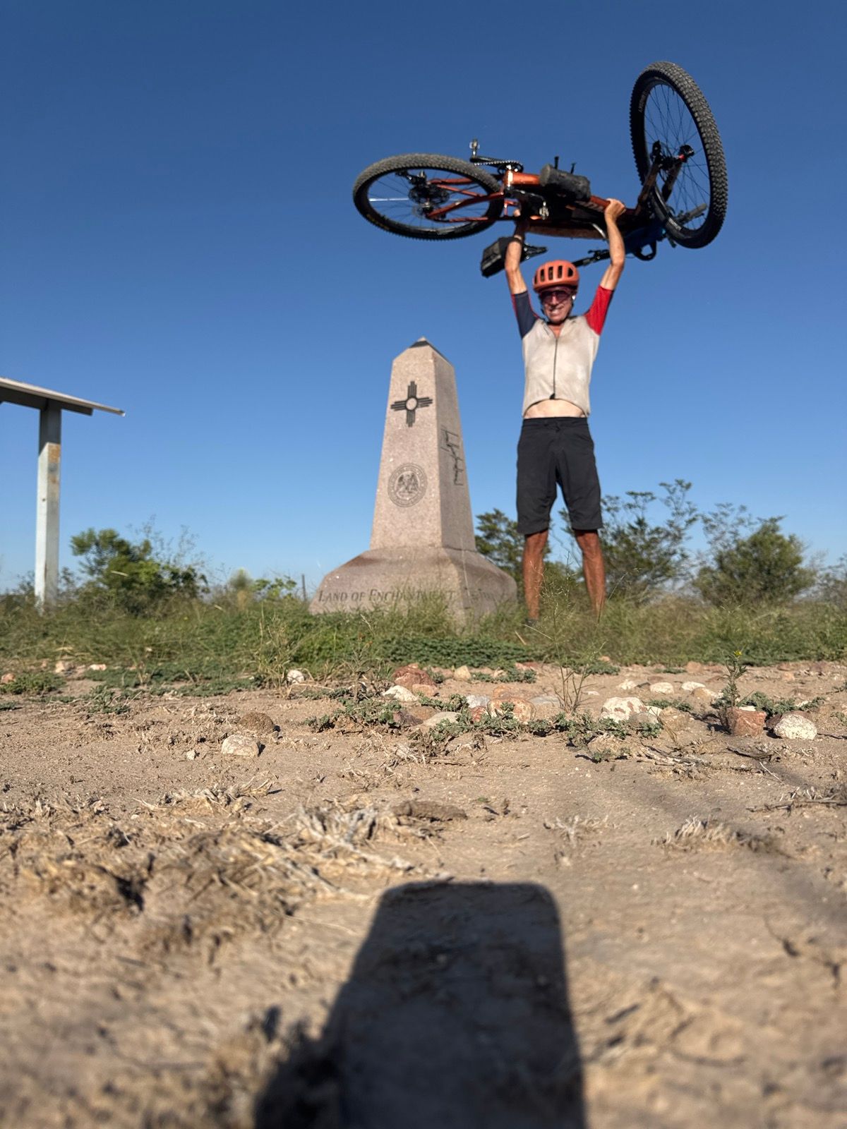
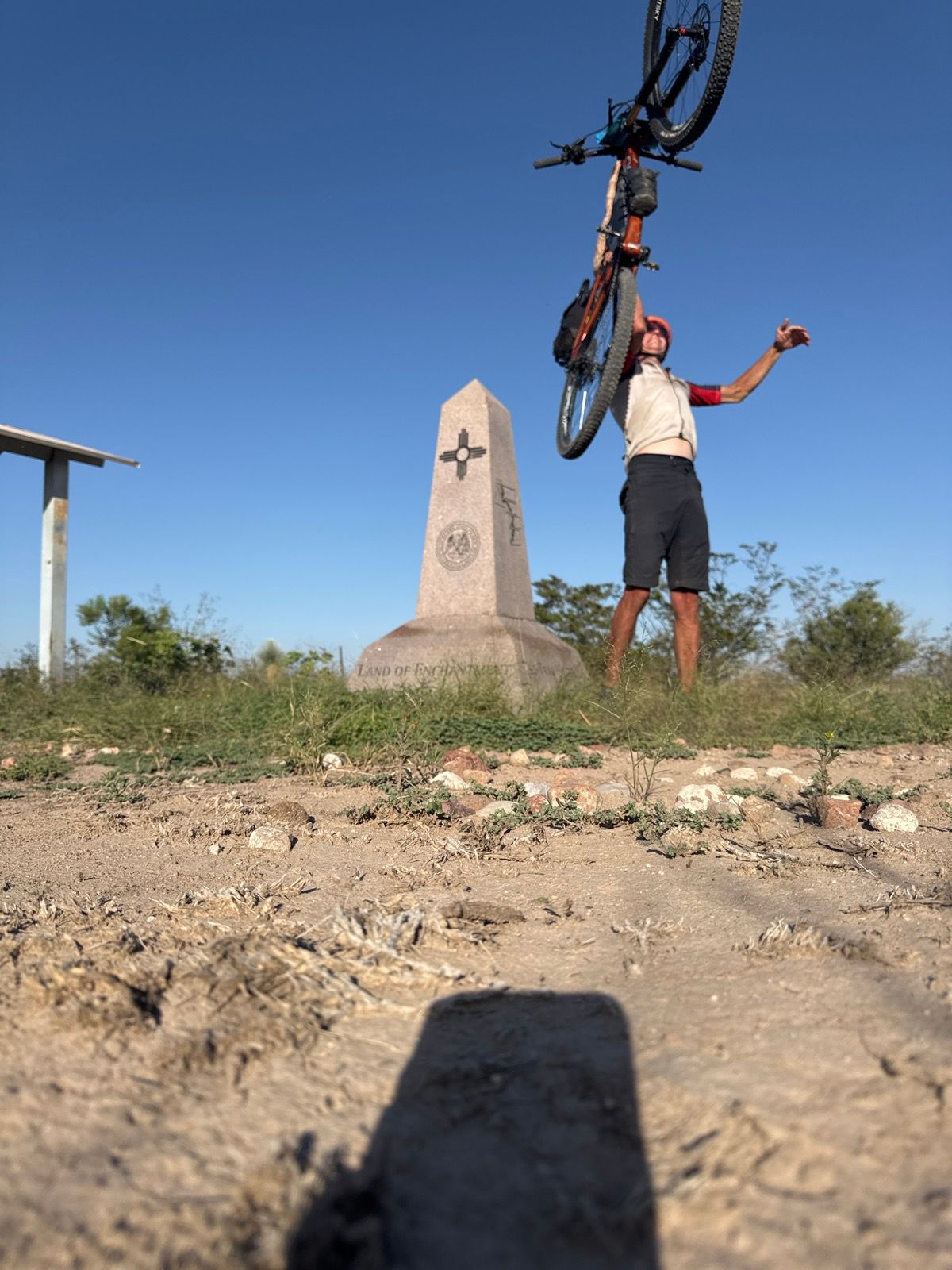
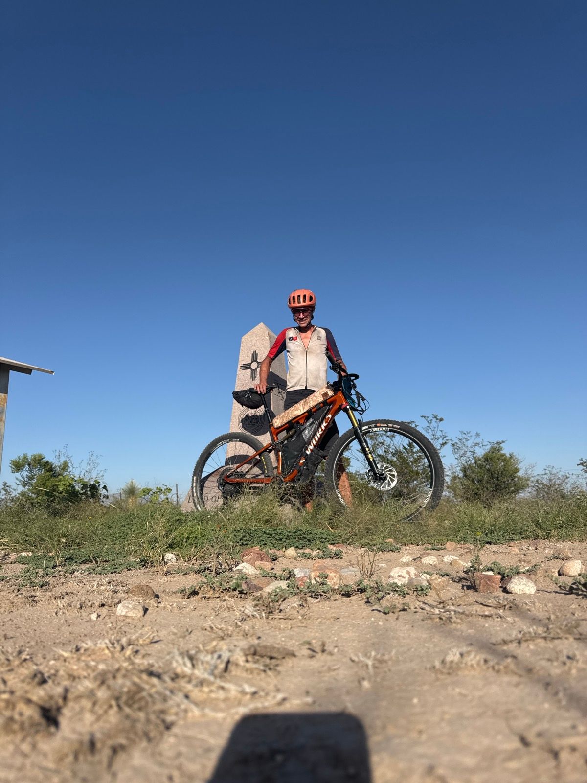
After an interminable last two miles, I finally reached the monument marking the border and official end of the trail… the bushwhacking at the end oddly mirroring the bushwhacking through the overabundant foliage in the rainforest-like Flathead region of northwest Montana.
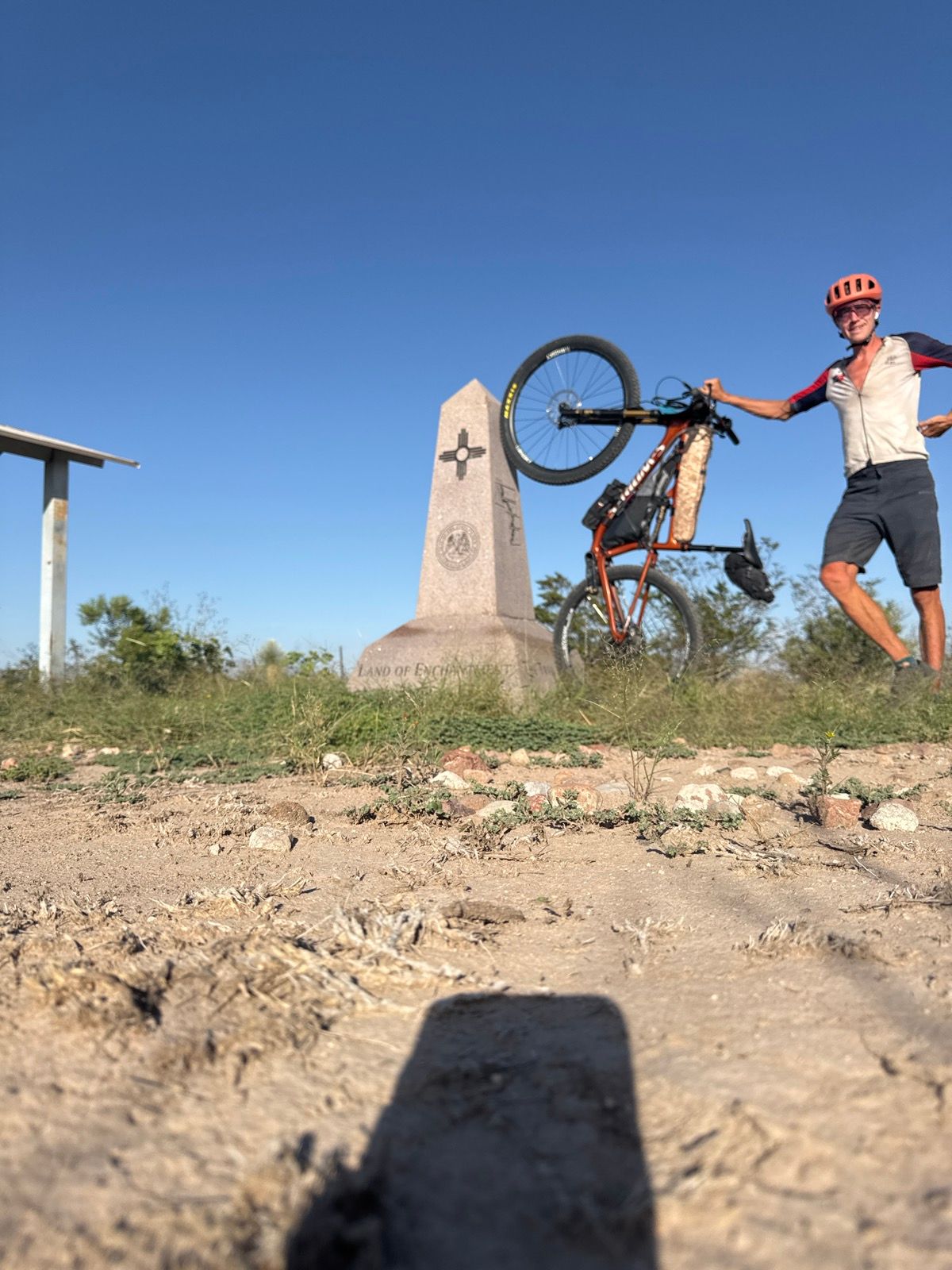
A few quick selfies and then I pointed the bike back in the other direction, hoping to be able to ride most of the ~20 miles of rough road back to where Sagar was waiting to pick me up before full dark. The miles back proved faster and easier. Sagar met me on the road by headlamp, handed me a beer, and with that a great bike ride was complete!