61: Gila Alt
Morning sounds: Raindrops on my tent; the bugle of a nearby elk; a singular cow moo in the far distance; a bird call a can’t identify, sounding like a ticker tape; a hummingbird’s wings; coyotes yipping
About a mile into the day I arrived at a major crossroads between the “main” CDT and the Gila Wilderness alternate (or “alt” in CDT-speak). Most CDT hikers choose the Gila alt, getting to hike through a long canyon filled with water, pictographs, and hot springs. Sounds lovely! At this point the already faint mainline CDT all but disappears, at least in terms of something one could plausibly ride on a bike (based on my recognizance this morning).
After much deliberation, I opted to ride the first ~20 miles of the Gila alt (and the Gila alt High Route alt) before rejoining the GDMBR.
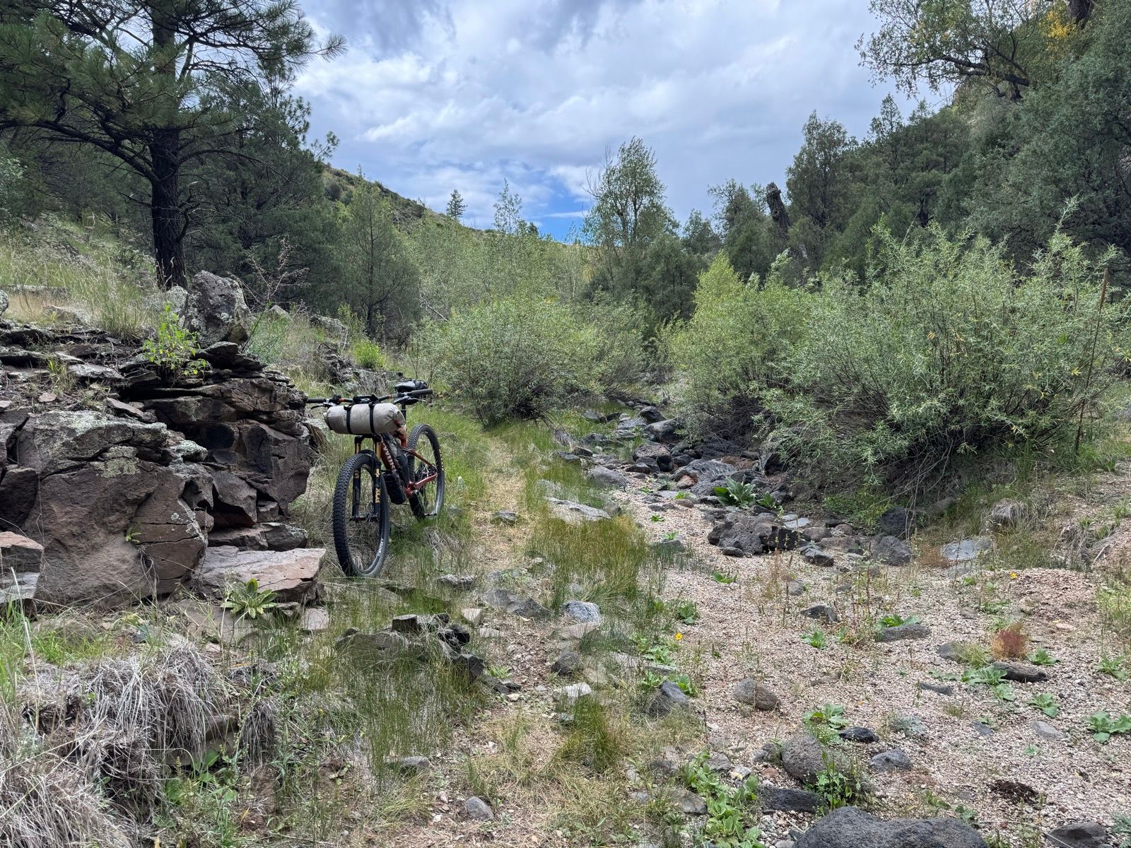
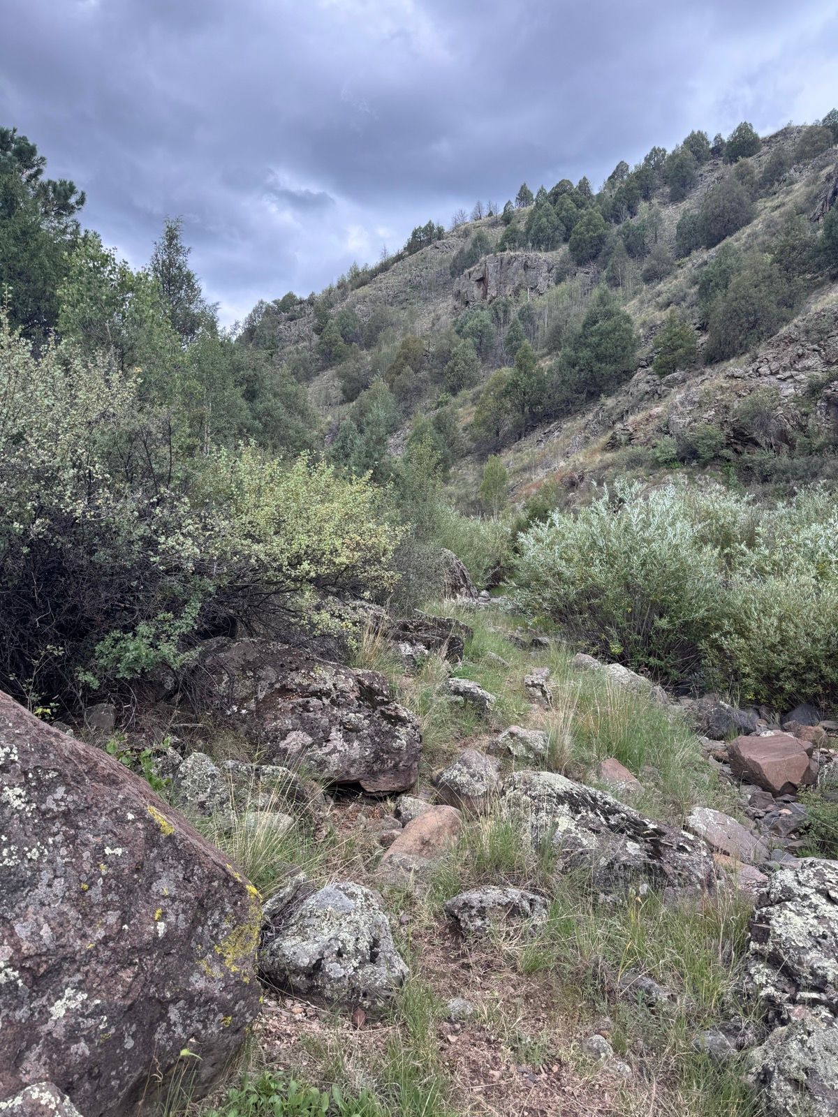
As forecasted, a series of thunderstorms rolled through this afternoon, driving me into my tent for a few hours. When the last black cloud finally cleared the western horizon, I repacked and soon dropped into a lovely riparian desert canyon. The canyon offered an entirely new landscape and environment. As you might imagine, the Continental Divide Trail offers many stunning high ridges and very few canyons. I immensely enjoyed being among willows, green grass, and canyon walls for a few miles.
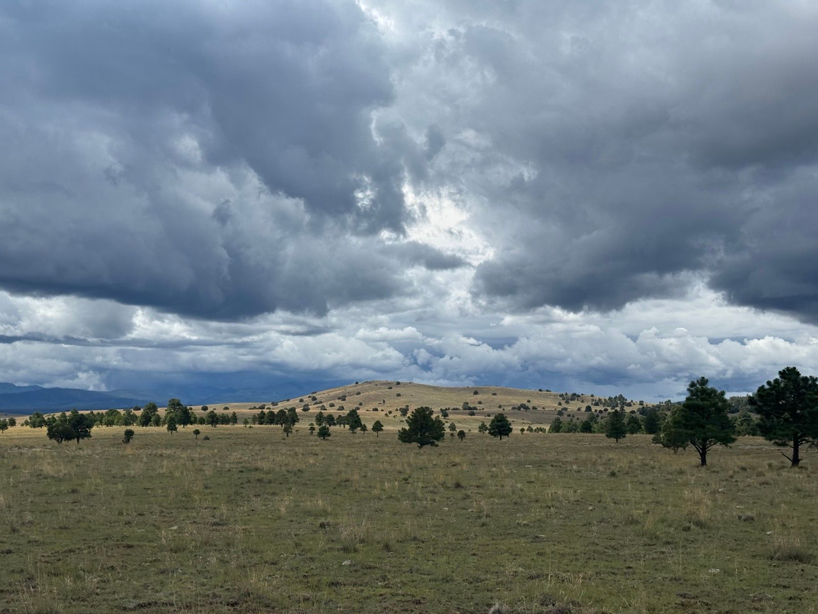
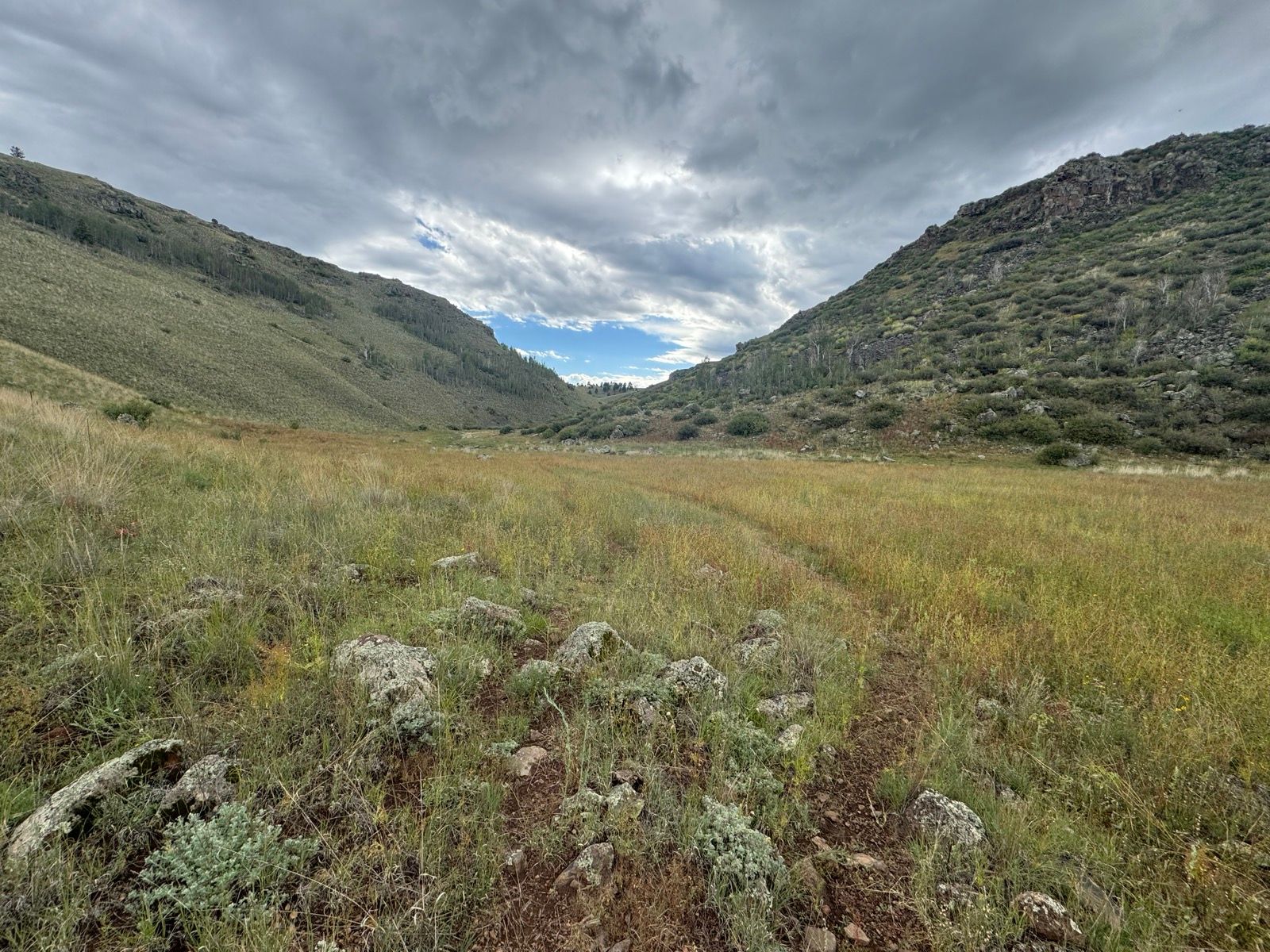
The canyon terminated at a lake with a campground and even a water spigot! After a brief climb, this evening’s ride has been along the bench of a large plateau overlooking a valley. Though predominantly gravel road and double track, I’m quite pleased with my route choice today.