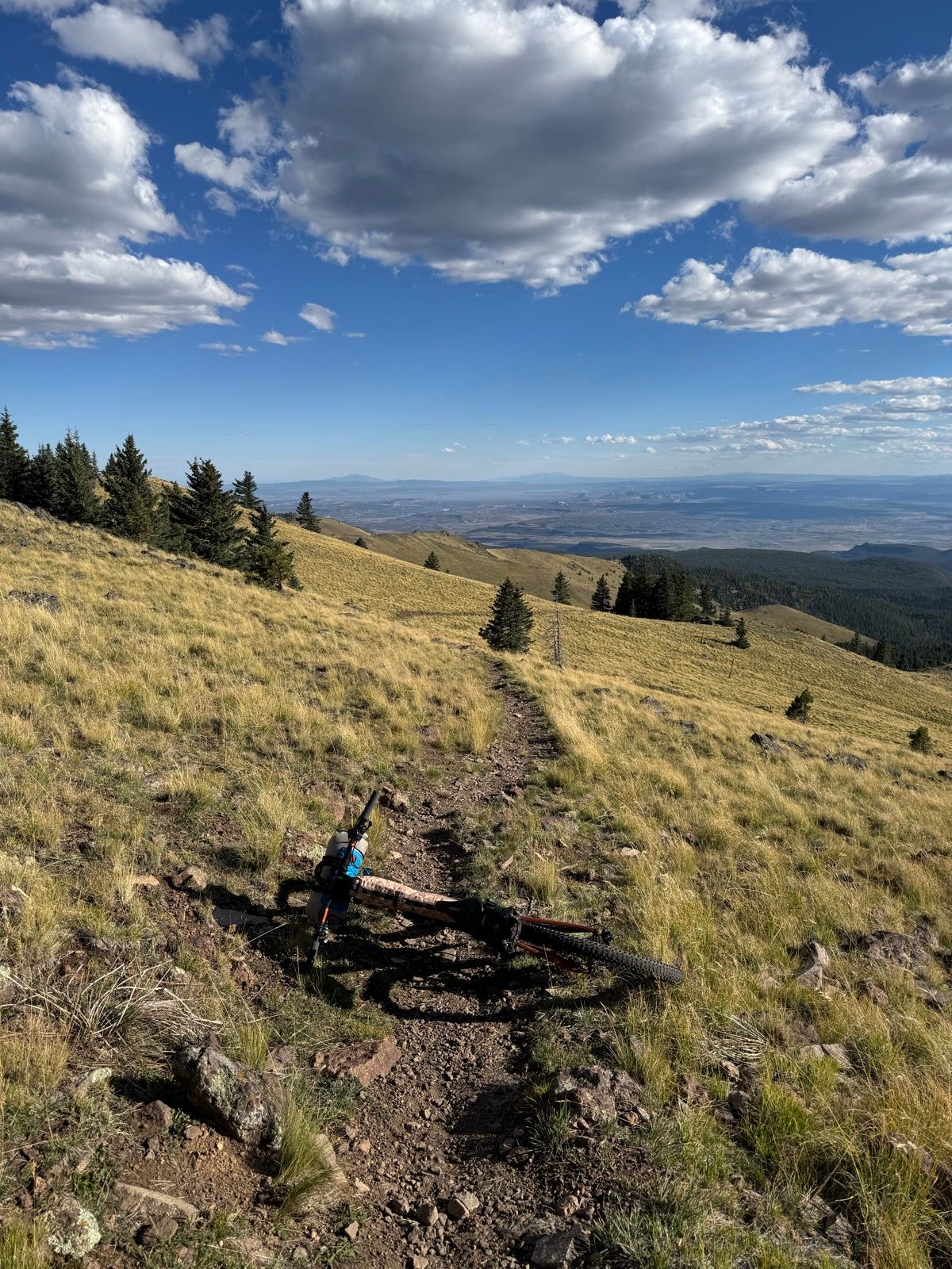
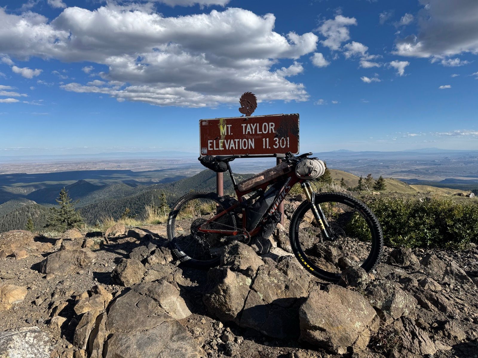
57: Mount Taylor
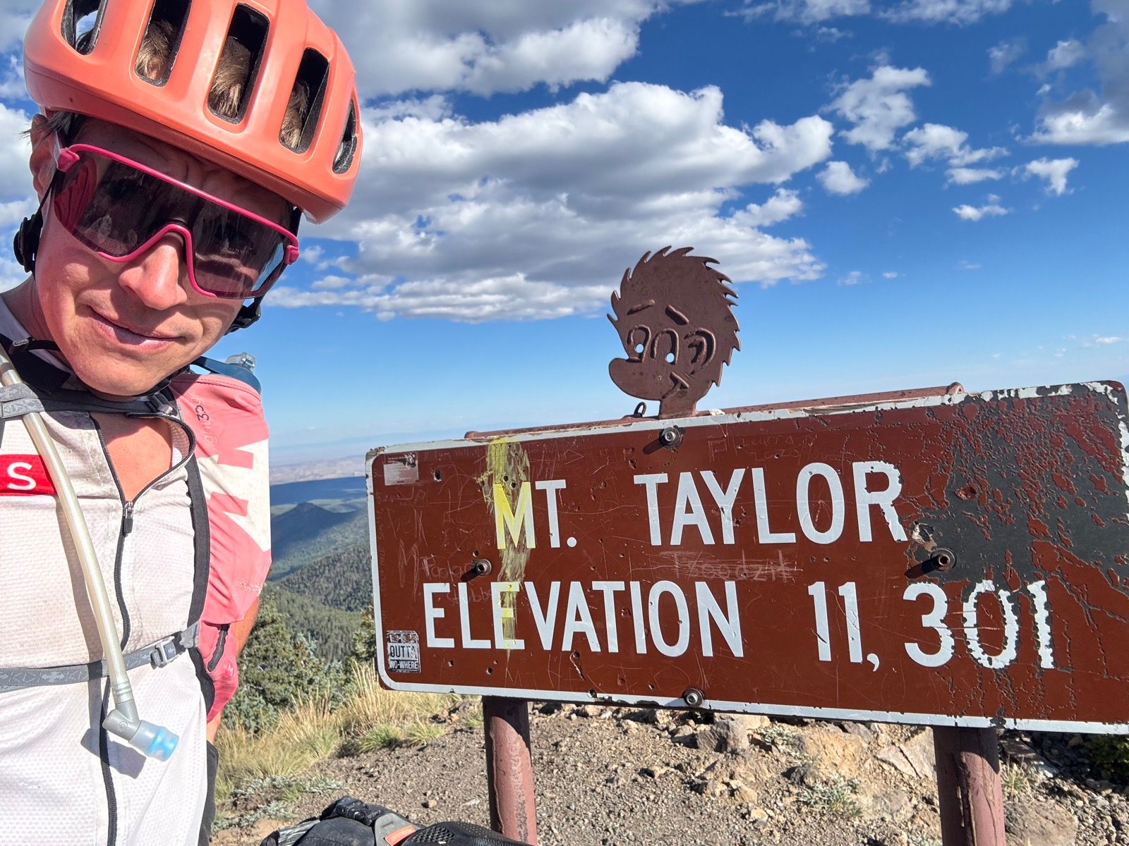
Super low energy today. Nevertheless, I dragged myself up and over Mt. Taylor, a common “alt” on the CDT and the tallest thing around by a good measure. Though a bit of a slog up, the views from the top made it all worthwhile.
Water is becoming more of an issue. My insouciance about find and carrying water to this point in the trip is going to need to give way to diligence (and carrying more than I would prefer—in general I’ve rarely carried more than a liter with me). Compared to hikers, I retain the advantage of being able to cover a lot of ground quickly on my bike, but the water source information on the FarOut guide is less reliable than it has otherwise been to date (presumably in part because the NOBO hiker comments are all 3+ months old at this point, and I seem to be well ahead of the SOBO hikers by now).