
43: Frost Points + Colorado Trail
43: Frost Points + Colorado Trail
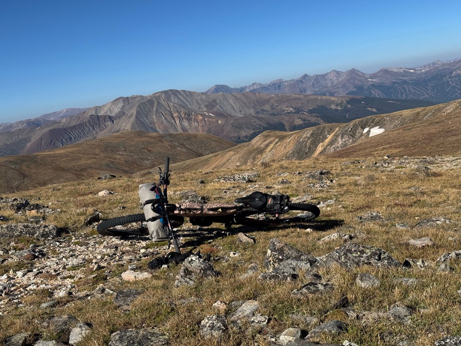
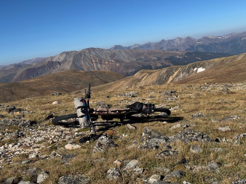
Sleeping at 12,000’ Webster Pass last night wasn’t my first choice, but it was the only way that yesterday made sense. Arriving shortly after sunset, I found a somewhat sheltered and reasonably flat spot, pitched my tent, and settled in the night. Prying myself out of my quilt was quite the struggle this morning with a steady breeze and the first real frost of the trip. Once packed and pedaling , I noted with a bit of satisfaction the thin skim of ice on top of the puddles in the trail.
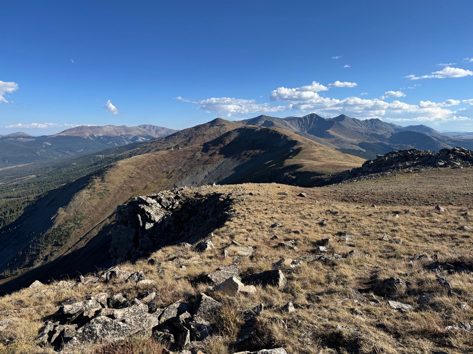
I enjoyed a few miles of excellent alpine riding this morning before dropping down to Georgia Pass and joining the Colorado Trail (CoT). I’ll ride the (bike-legal) Colorado Trail for the next ~250 miles.
The first 15 miles of the CoT were a rootin’, tootin’ good time—the purest Type 1 fun I’ve had on the bike since Butte. So good to be on bike friendly singletrack!
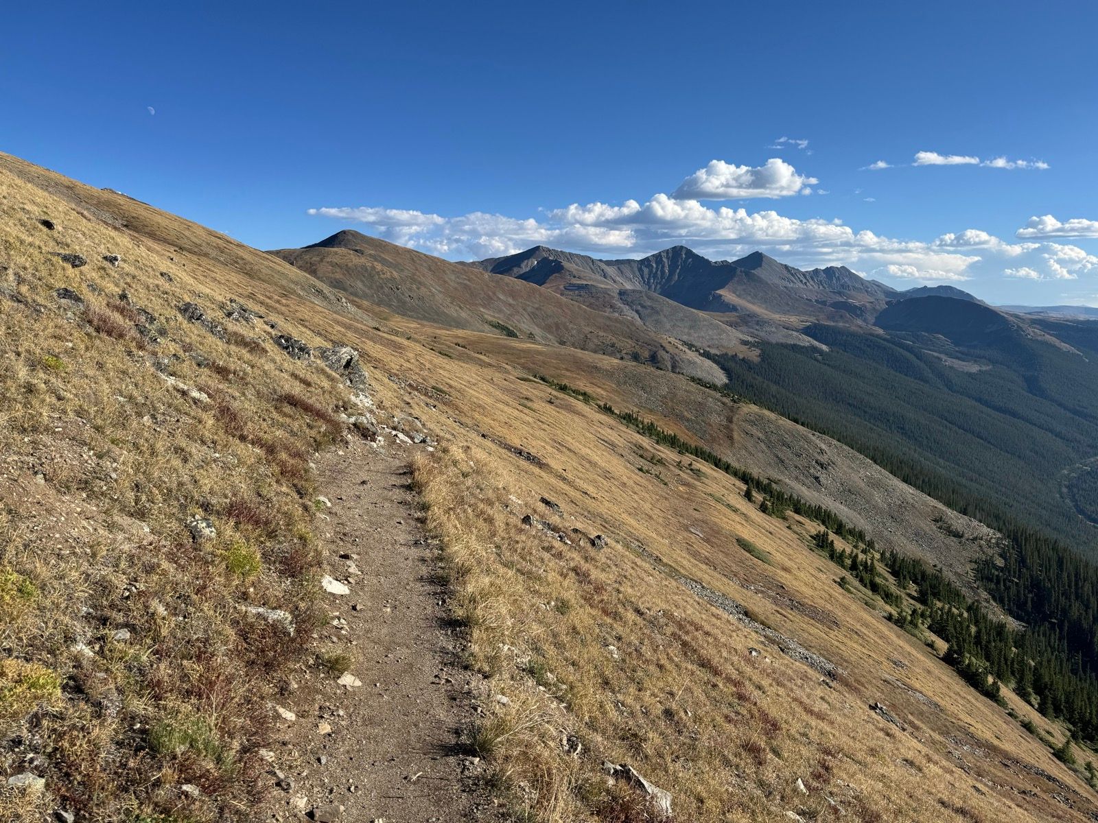
Crossing over the Tenmile Range (between Breckenridge and Copper) was more of a slog—lots of hike-a-bike up and dragging the brakes down the chunky trail down. (While stopped off in Breck and looking for dinner options in Copper, I accidentally got Google Maps directions to take the flat shared use path *around* the Tenmile Range to get to Copper in 70 minutes—not what I wanted to be thinking about while slogging for five hours *over* the range!)
The change of seasons and loss of latitude is most pronounced in the shortening days. The sun set at 7:35 pm tonight. The shortening days mean more tent time and less trail time, which is already slowing down my pace.