16: Beaverheads
The 18 miles from Schultz Creek to chief Joseph pass were mostly easy and fun, and involved a few fun moments of filling in the mental map (“oh, I’ve skied there!”),
Crossed Gibbons Pass where Lewis and Clark camped on July 6, 1806, on their return journey. Lewis noted in a journal entry frost the night before and it being so cold he couldn’t sleep. My own camp was 45°F this morning, urging me south with trepidation of Colorado’s high country in September.
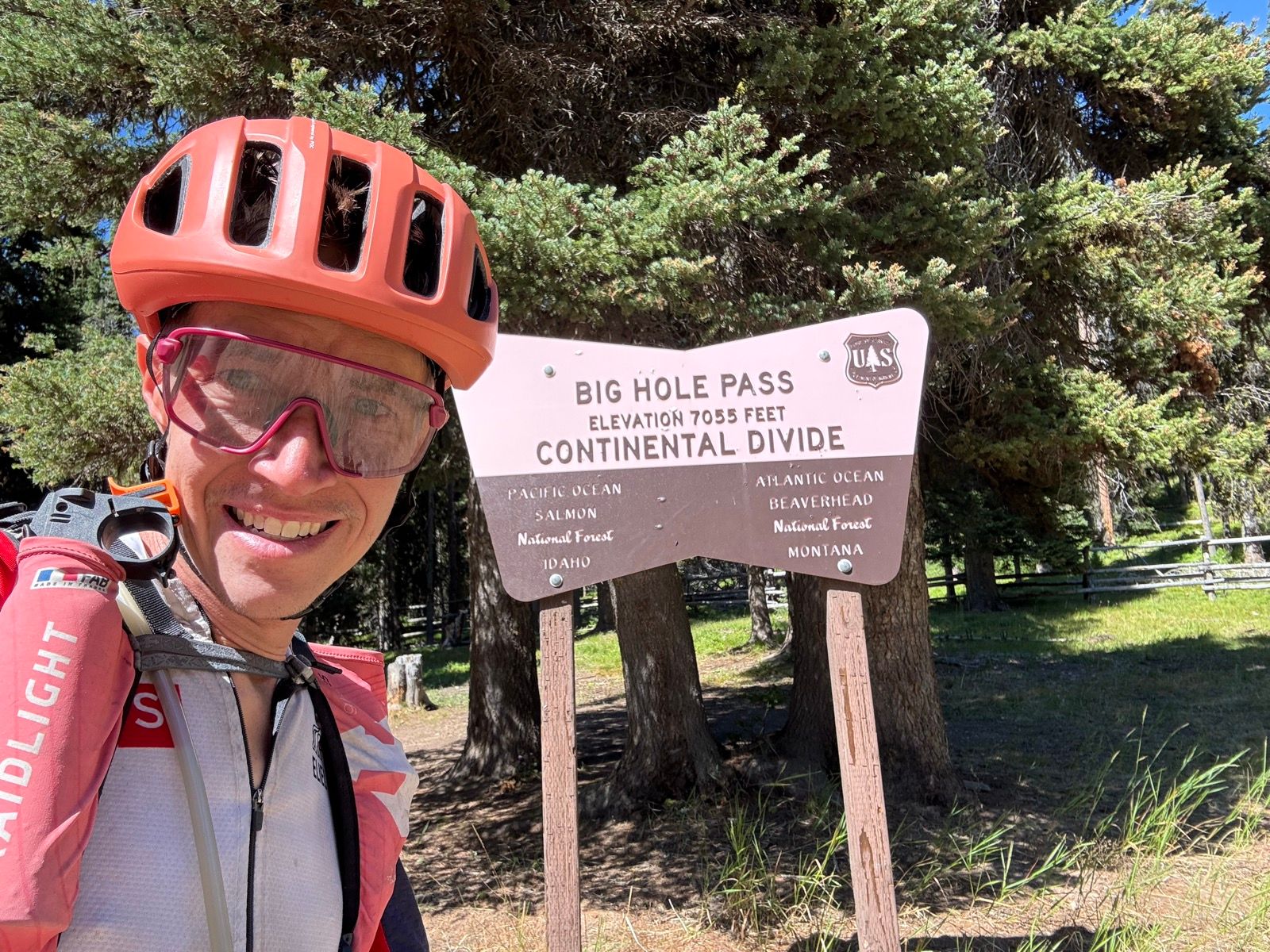
I stopped off for a long lunch at Chief Joseph Pass before crossing into what I suspect will be the hike-a-bike crux of the trip as I traverse the crest of the Beaverhead range, straddling the Idaho and Montana border.
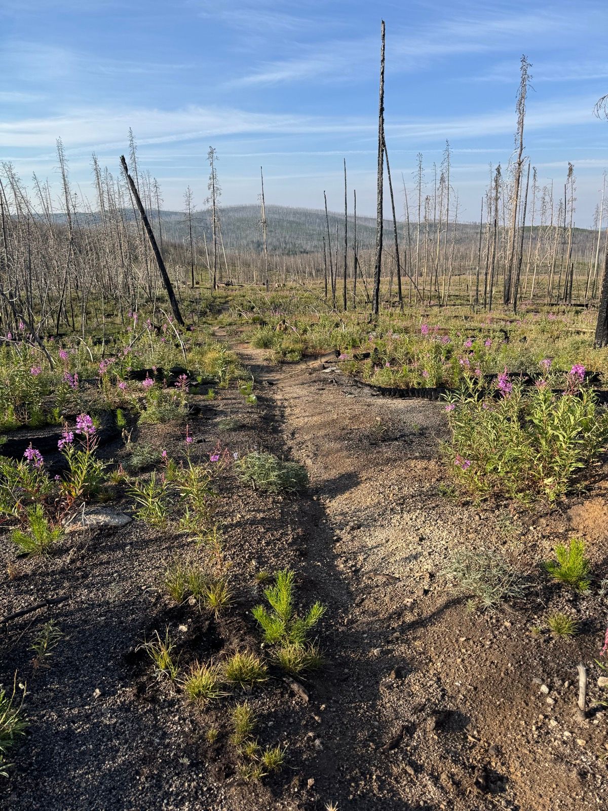
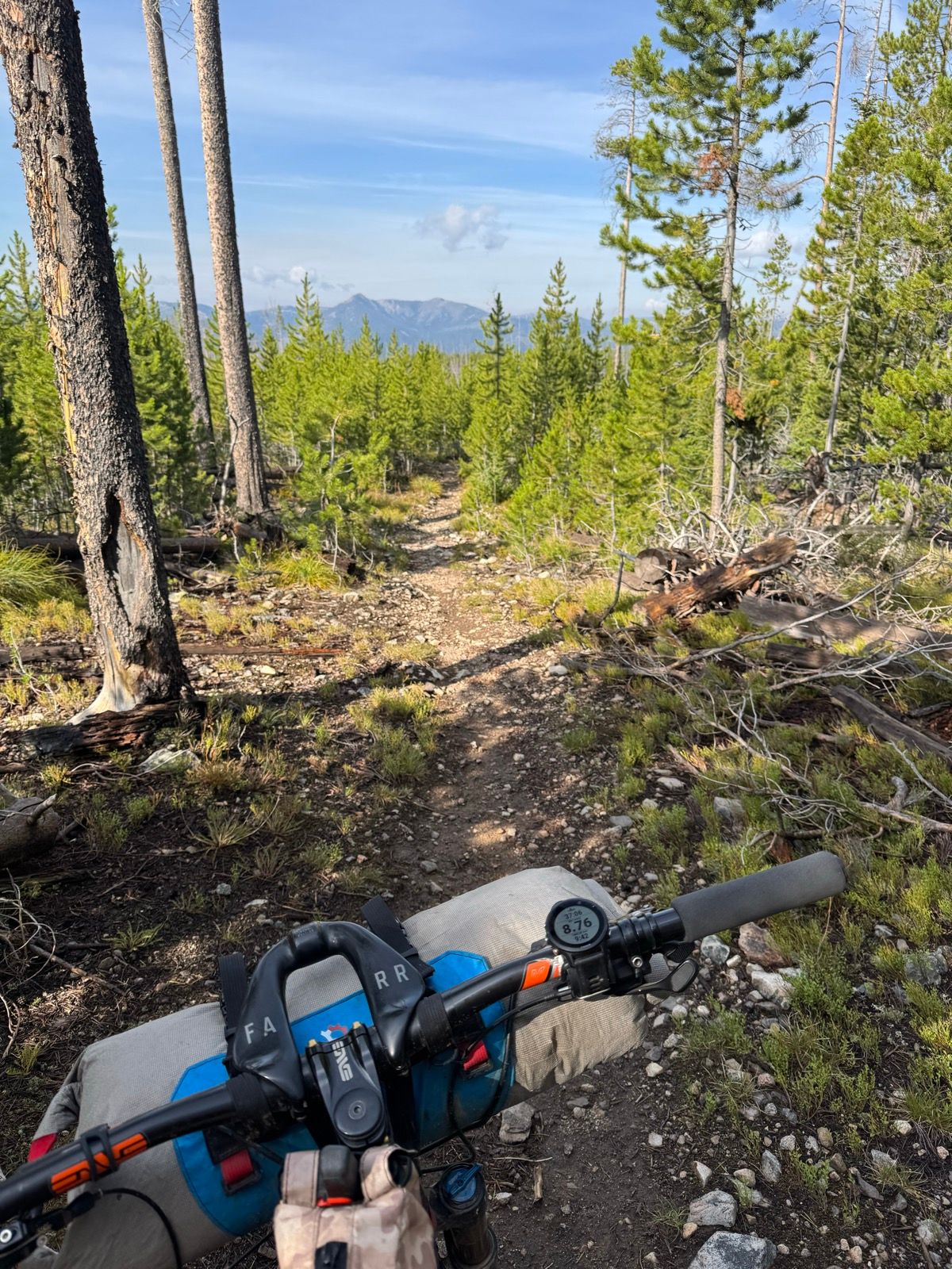
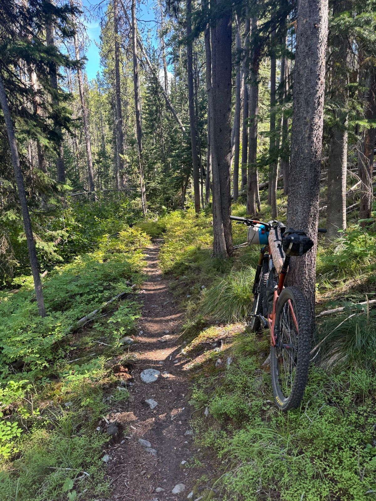
After presenting an initially severe alpine and remote character, the trail dropped in elevation and settled into an easterly aspect with dark dirt and sometimes loamy trails and abundant huckleberries (which slowed my hike-a-bike this evening considerably). The first 10 miles or so of trail is newly, but often cut into steep side slopes. Given the remoteness of this section I am riding more cautiously and slower than is my wont.
After reaching the miner’s cabin, the newly constructed trail gave way to older trail and climbs steeply back to the crest of the range. With a few exceptions, I spent the balance of the day hiking my bike slowly up a rocky, steep trail.
I settled in for the evening below a scree field with a pleasant little stream, and have heard tonight the first pikas of the trip.
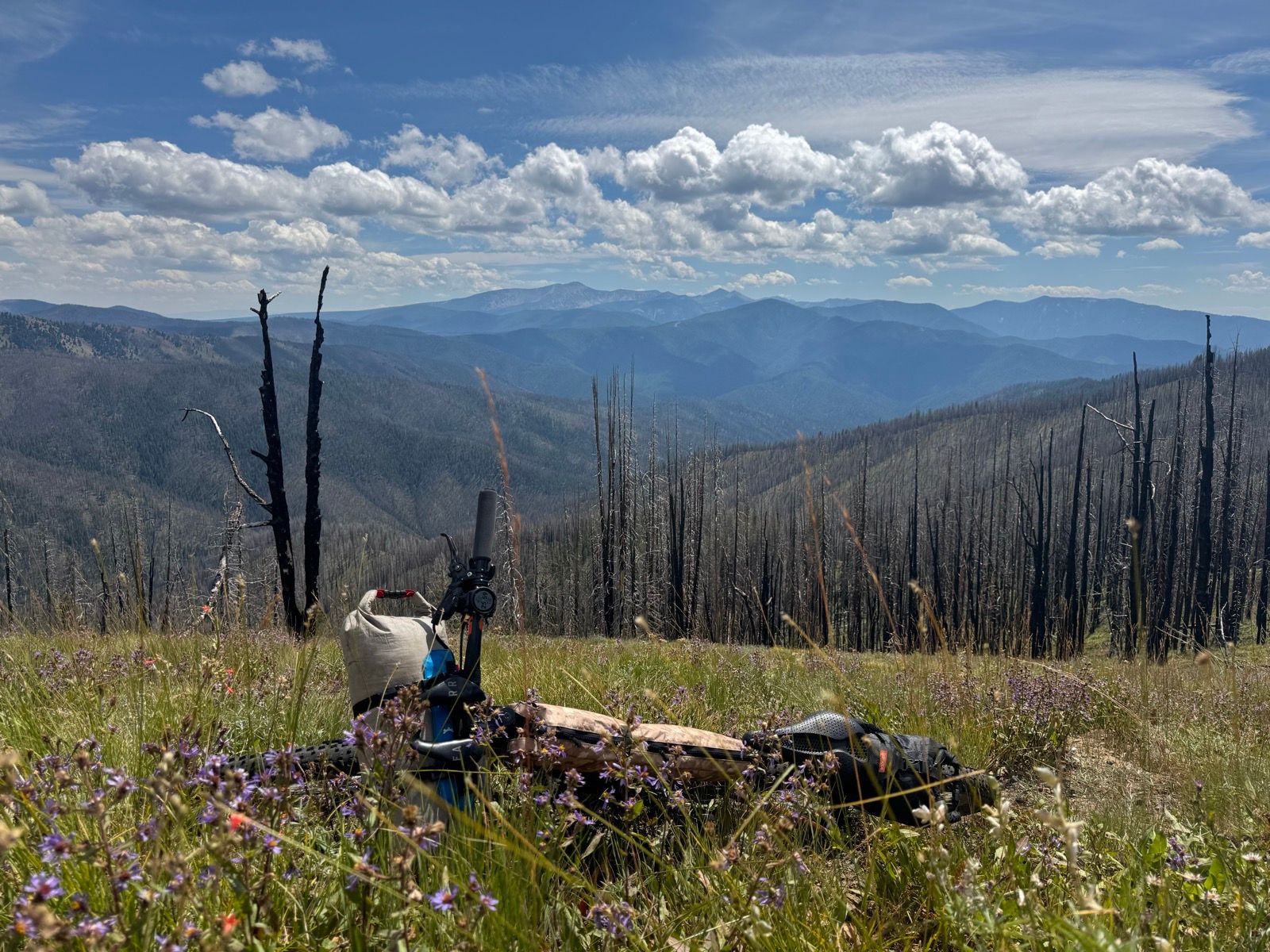
Current range: The Beaverhead Mountains